
CRANESNEST CAMPGROUND (VA)
Campground · Fee
Fast facts
- Cost
- Fee charged
- Type
- Campground
- Phone
- 276-835-9544
- Coordinates
- 37.1497, -82.4101
- Last verified
- September 19, 2026
About this place
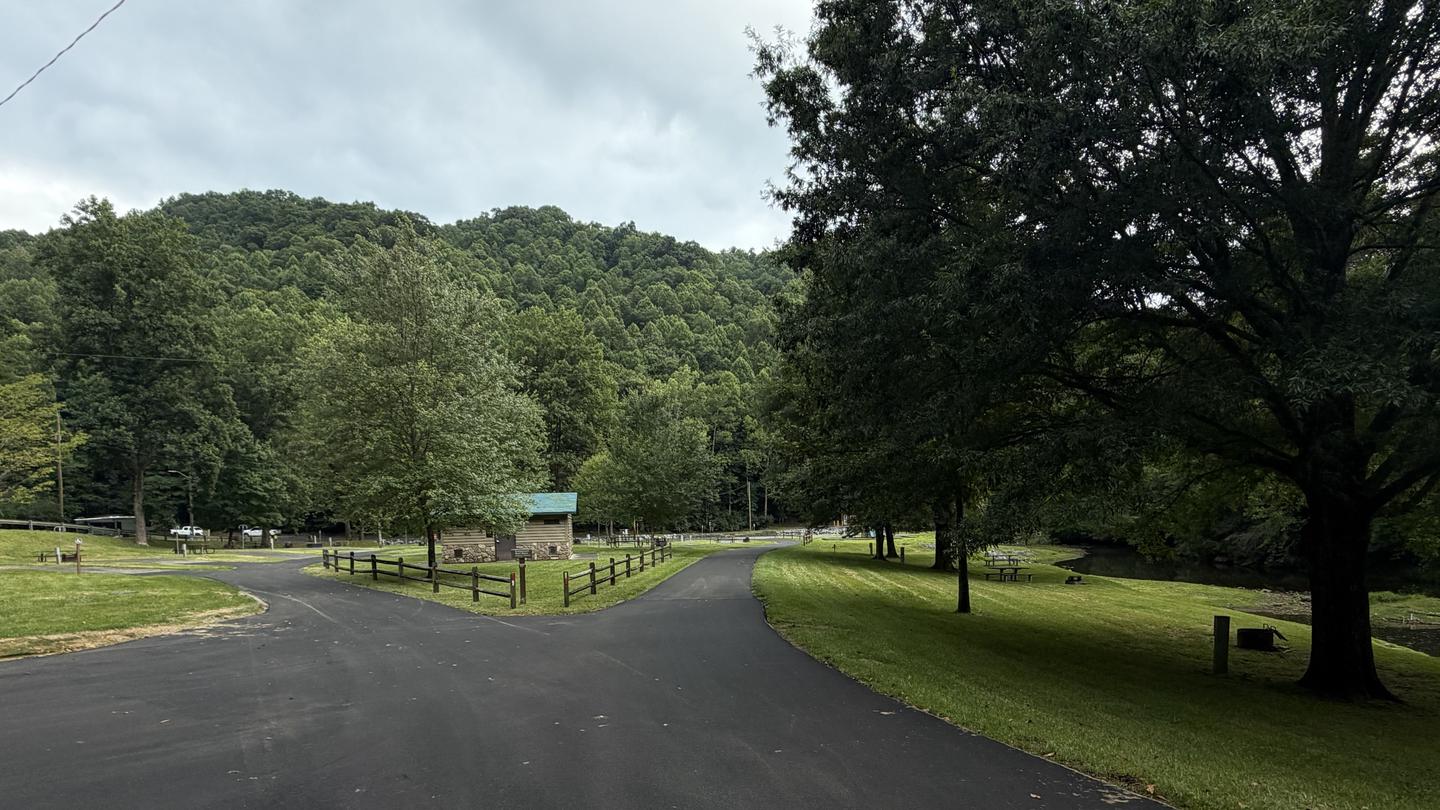
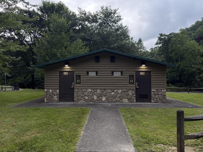
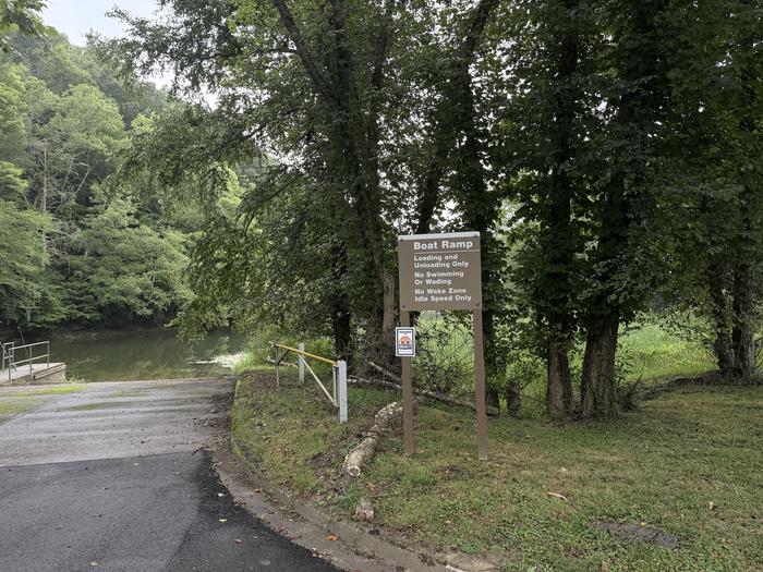
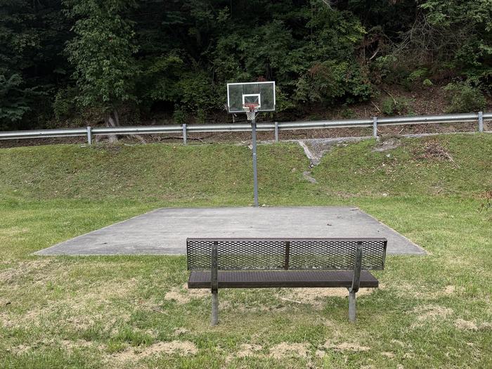
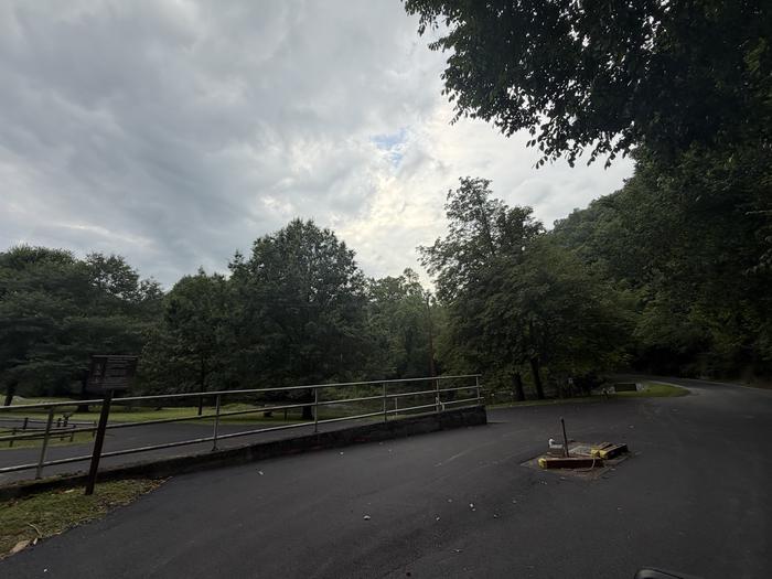
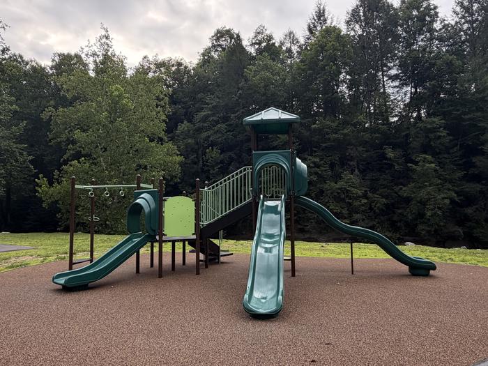
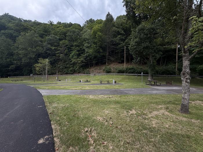
Overview The John W. Flannagan Dam & Reservoir Area boasts an expansive lake nestled in the rolling green Cumberland Mountains of southwest Virginia, offering visitors an oasis of recreation in the summer months. The nearby dam, built primarily for flood control for the Cranesnest and Pound Rivers, creates a breathtaking lake that is maintained at nearly 1,400 feet above sea level. This facility is an ideal spot for picnicking, water activities and hiking. Recreation Flannagan's reputation as a fisherman's paradise is well-known. Visitors can enjoy secluded coves of deep, clean water that are well-stocked with bass, walleye and trout. Boating, canoeing, whitewater rafting and biking top the long list of activities available nearby. Facilities The campground offers campsites with electric hookup options, bath houses, playgrounds, launch ramps and picnic shelters with grills and horseshoe pits which provide an ideal location for parties and other get-togethers. Natural Features The John W. Flannagan Dam, completed in 1964, carves out a 1,145-acre lake with nearly 40 miles of beautiful shoreline in the lush Virginia mountains. Nearby Attractions Breaks Interstate Park is nearby, offering lodging, dining, a museum, gift shop, rafting, canoeing, rock climbing and other outdoor activities. Charges & Cancellations Changes and cancellations subject to potential fees and cancellations are not automatically subject to refund.
From the managing agency.
Is CRANESNEST CAMPGROUND (VA) free?
No. CRANESNEST CAMPGROUND (VA) charges a fee.
How do I get to CRANESNEST CAMPGROUND (VA)?
CRANESNEST CAMPGROUND (VA) is at 37.1497, -82.4101. We do not hold written directions for this one, so navigate to the coordinates.
Nearby
- POUND RIVER CAMPGROUND (VA)3.5 mi
- LOWER TWIN CAMPGROUND (VA)6.1 mi
- JOHN W. FLANNAGAN DAY USE7.0 mi
- Laurel Fork Primitive Camp13.4 mi
- PHILLIP'S CREEK GROUP PICNIC AREA14.7 mi
- Cane Patch Campground15.2 mi
- FLATWOODS GROUP PICNIC AREA16.5 mi
- FISHTRAP LAKE SHELTERS20.0 mi
No other services within 50 mi on the record.
SourceSource data is agency published. Last synced September 19, 2026. Community reports and photos are submitted by travelers and are not verified by the agency.
