
UPPER STILLWATER
Campground · Fee not listed
Fast facts
- Cost
- Not listed. Check locally.
- Type
- Campground
- Nearest dump station
- Soapstone Comfort Station · 18.4 mi
- Coordinates
- 40.5606, -110.6997
- Last verified
- September 19, 2026
About this place
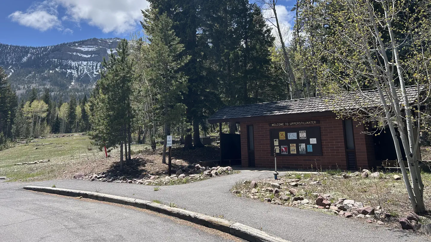
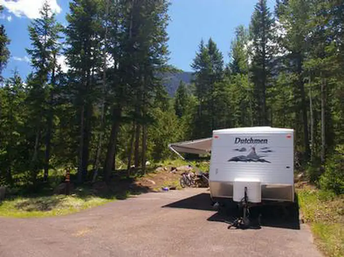
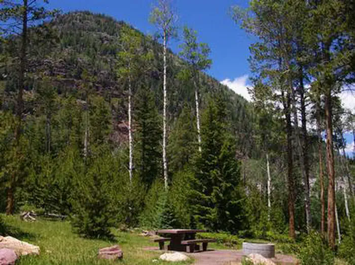
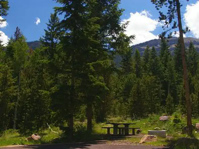
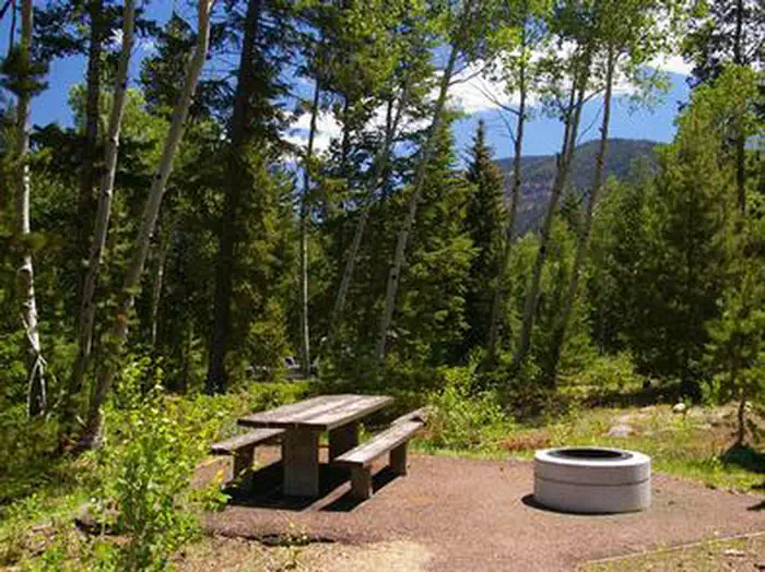
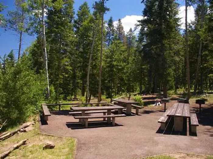
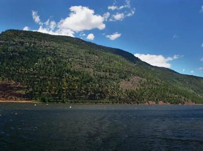
Overview Upper Stillwater Campground is located below its namesake reservoir in the Rock Creek Drainage on the southern slope of the beautiful Uinta Mountains. Visitors enjoy fishing and exploring the popular Rock Creek Trail. Recreation The Rock Creek Trail begins just outside the campground and provides access to the High Uintas Wilderness, where hiking, backpacking, horseback riding and backcountry fishing are very popular activities in this scenic region. Rock Creek offers rainbow and brook trout fishing. To access the reservoir, visitors must hike in; The road to the reservoir is not currently open to vehicle traffic. Facilities The campground contains one group site that can accommodate up to 32 people. It is equipped with picnic tables, grills, a campfire ring, three tent pads and RV parking. Single and double-family sites are available as well, each with a picnic table and campfire ring. Flush toilets, drinking water and trash collection are provided. A campground host is on-site. A dump station is located 3 miles away at Yellowpine Campground. Natural Features The campground is situated just below the Upper Stillwater Dam at an elevation of 8,000 feet. The concrete dam is visible from the campground. A forest of Ponderosa pine, lodgepole pine and aspen trees provides only sparse shade. Summer wildflowers are abundant.
From the managing agency.
Is UPPER STILLWATER free?
We do not have a fee on record for UPPER STILLWATER. Confirm the cost locally before you go.
How do I get to UPPER STILLWATER?
UPPER STILLWATER is at 40.5606, -110.6997. We do not hold written directions for this one, so navigate to the coordinates.
Nearby
SourceSource data is agency published. Last synced September 19, 2026. Community reports and photos are submitted by travelers and are not verified by the agency.
