
HADES
USFS · Campground · Fee
Fast facts
- Cost
- Fee charged
- Managed by
- USFS
- Type
- Campground
- Reservations
- recreation.gov
- Nearest dump station
- Soapstone Comfort Station · 9.7 mi
- Coordinates
- 40.5342, -110.8728
- Last verified
- September 19, 2026
About this place
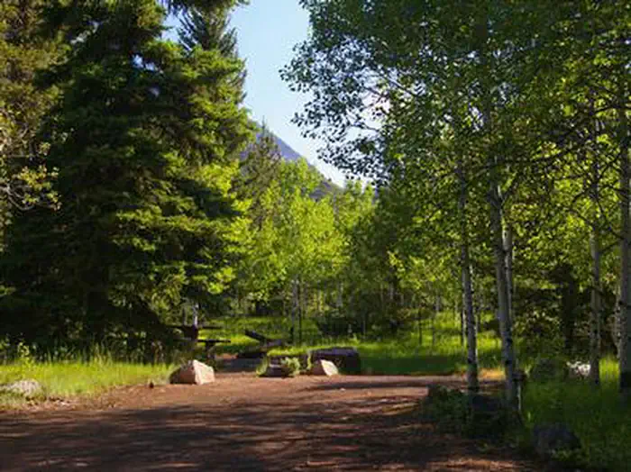
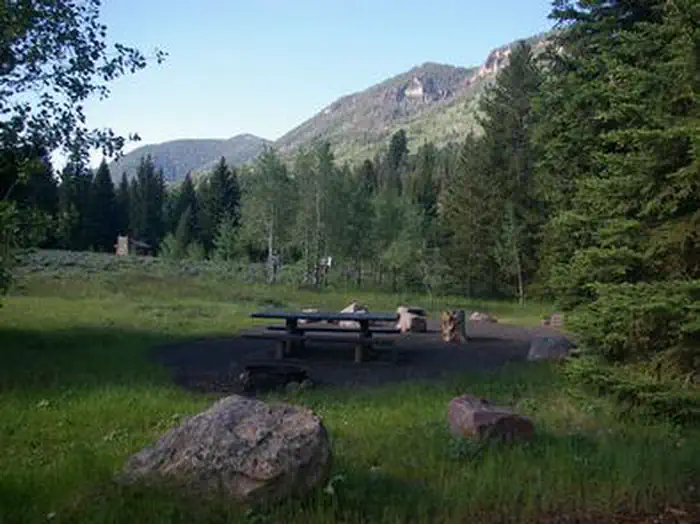
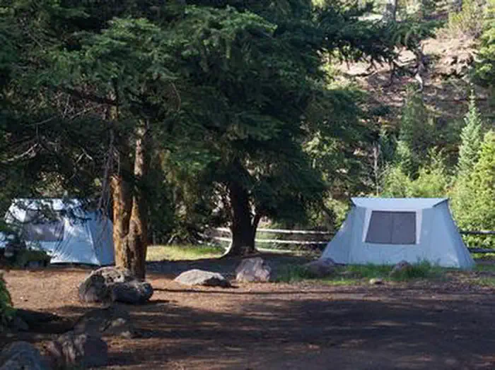
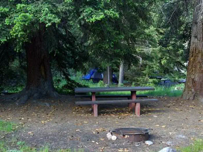
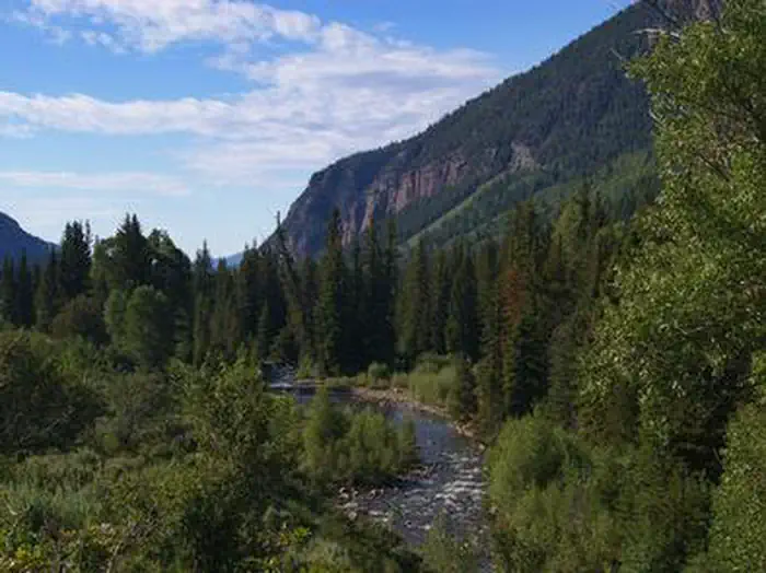
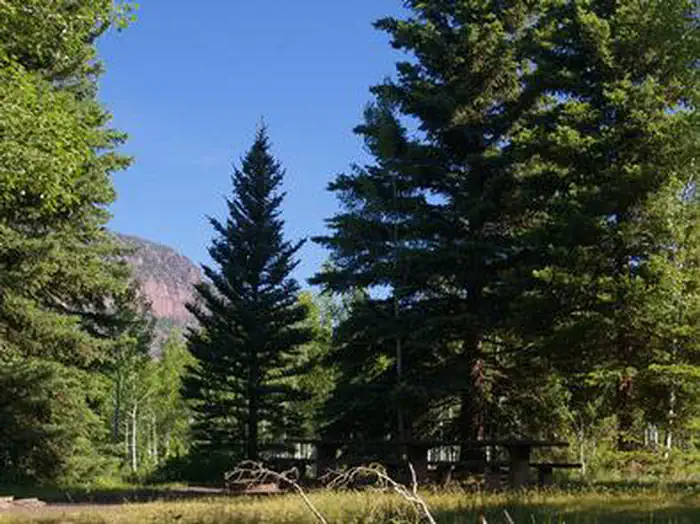
Overview Hades Campground is nestled in the scenic North Fork Drainage off Highway 35, about 17 miles from Tabiona, Utah. The North Fork Drainage lies on the southern slope of the beautiful Uinta Mountains in northeastern Utah. Visitors enjoy fly-fishing and exploring the many local trails. Recreation Fishing for brook, brown and rainbow trout is a popular activity on the North Fork Duchesne. Hiking, mountain biking, OHV and horseback riding trails are in the area. Facilities The campground contains single and double-family sites with picnic tables and campfire rings. Some sites overlook the river. Vault toilets and trash collection are provided. Roads and parking spurs are dirt. Natural Features The campground is situated in forest of aspen, subalpine fir, lodgepole pine and spruce just above the North Fork Duchesne River at an elevation of 7,400 feet. The campground affords beautiful scenic views of the surrounding canyon and summer wildflowers are plentiful. Nearby Attractions The North Fork Drainage provides access to the Granddaddy Lake region of the High Uintas via Grandview Trail. Numerous sparkling lakes provide great backcountry fishing. Backpacking, hiking and horseback riding are very popular in this breathtaking area.
From the USFS.Official page
Is HADES free?
No. HADES charges a fee. It is managed by the USFS. Sites are reservable through recreation.gov.
How do I get to HADES?
HADES is at 40.5342, -110.8728. We do not hold written directions for this one, so navigate to the coordinates.
Nearby
SourceData from the USFS. Last synced September 19, 2026. Community reports and photos are submitted by travelers and are not verified by the agency.
