
Rock Creek Group (UT)
Campground · Fee not listed
Fast facts
- Cost
- Not listed. Check locally.
- Type
- Campground
- Phone
- 435-738-2482
- Nearest dump station
- Soapstone Comfort Station · 23.2 mi
- Coordinates
- 40.5300, -110.6117
- Last verified
- September 19, 2026
About this place
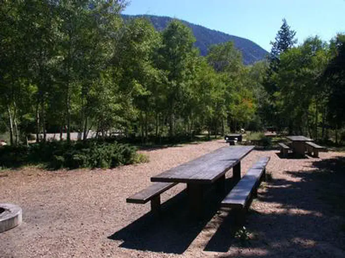
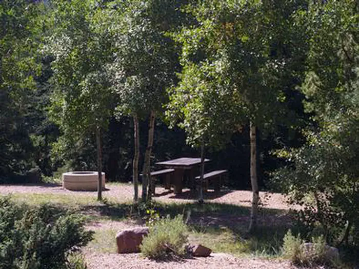
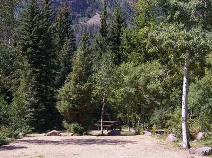
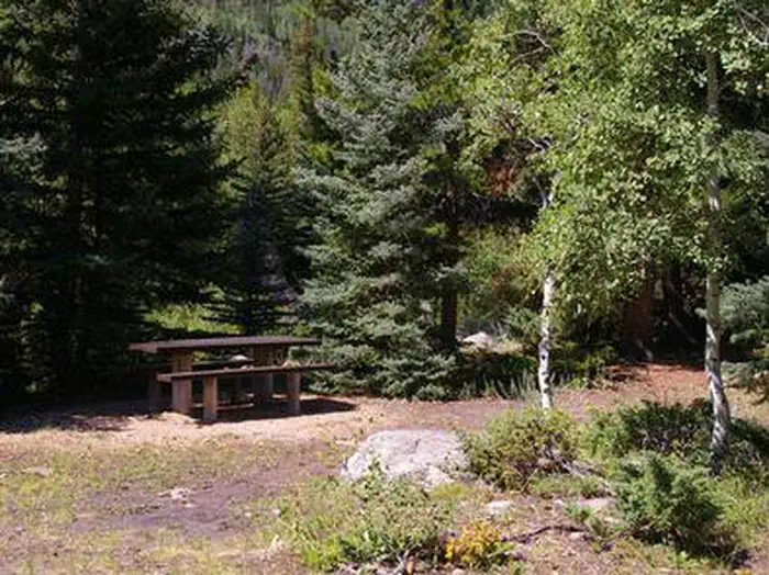
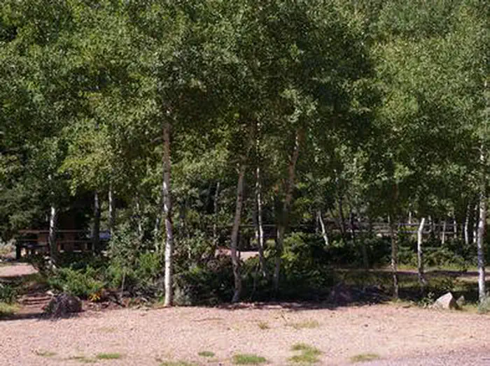
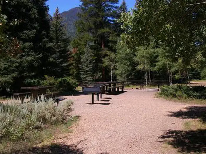
Overview Rock Creek Group Campground is located next to Rock Creek in the Rock Creek Drainage at an elevation of 7200 feet. The drainage sits on the southern slope of the beautiful Uinta Mountains. Visitors enjoy fishing and exploring the popular Rock Creek Trail. Recreation Rock Creek offers fishing for brown, brook and rainbow trout. Whitewater rafting and kayaking opportunities are available seasonally. Facilities The campground is a group camping area that can accommodate up to 75 people. Picnic tables, campfire rings and grills are provided, as are vault toilets. The campground has no running water so campers must bring their own supply. Natural Features This shaded campground is set back off the main road for privacy. Dense stands of aspen and pine trees shade the campground, and sagebrush and wildflowers dot the landscape. Evenings in this area are cool. Nearby Attractions The Rock Creek Trail begins just over a mile away and connects with an accessible, paved interpretive nature trail in Yellowpine Campground. The Rock Creek Trail provides access to the High Uintas Wilderness, where hiking, backpacking, horseback riding and backcountry fishing are very popular activities. Upper Stillwater Reservoir and Lower Stillwater Ponds are nearby, offering fishing for brown and rainbow trout, swimming and picnicking. Upper Stillwater is currently accessible only by hiking in. Numerous hiking trails lead into the High Uinta Wilderness Area from here.
From the managing agency.
Is Rock Creek Group (UT) free?
We do not have a fee on record for Rock Creek Group (UT). Confirm the cost locally before you go.
How do I get to Rock Creek Group (UT)?
Rock Creek Group (UT) is at 40.5300, -110.6117. We do not hold written directions for this one, so navigate to the coordinates.
Nearby
SourceSource data is agency published. Last synced September 19, 2026. Community reports and photos are submitted by travelers and are not verified by the agency.
