
WILLIS CREEK
Campground · Fee not listed
Fast facts
- Cost
- Not listed. Check locally.
- Type
- Campground
- Phone
- 512-859-2668
- Coordinates
- 30.6958, -97.4014
- Last verified
- September 19, 2026
About this place
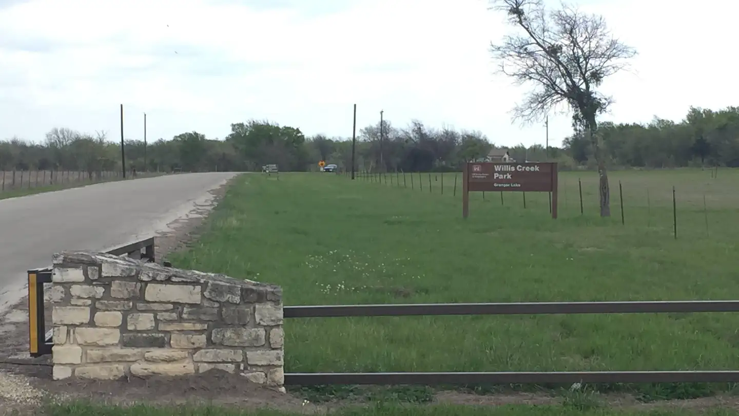
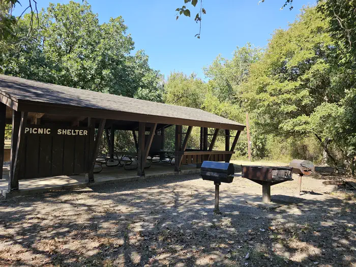
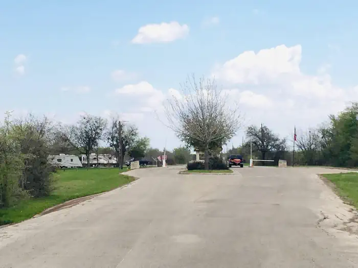
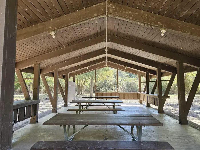
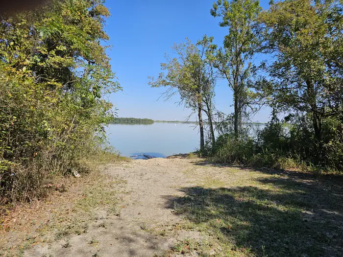
Overview Willis Creek is the ideal place for campers looking for a variety of accommodations. A group campground and five equestrian sites are available, in addition to a row of standard camping sites. Granger Lake is a popular recreational destination, especially for boating and fishing. In fact, it's one of the best lakes in the region for crappie and white bass fishing. Recreation Boating and fishing are the most popular activities for campers. Horseback riders have six trails to explore in the Willis Creek Equestrian Area, ranging from 1 to 5.5 miles in length. Facilities Equestrian sites do not have electric or water hookups. Standard sites are equipped with 20/30 electrical. Four of the standard sites are equipped with sewer drops at the campsites. The group campsite fits 50 people and is equipped with water and 20 amp electric. No RV hookups are available at the group shelter. Natural Features Granger Lake, formed by a dam completed in 1980, is fed by the San Gabriel River and Willis Creek. The campground sits on the Willis Creek arm of the lake. The maximum surface area of the lake is 11,000 acres and the shoreline is surrounded by the gently rolling hills of the Texas Blackland Prairie. Nearby Attractions The Pecan Grove Wildlife Area, San Gabriel Wildlife Area, Sore Finger Wildlife Area, and Willis Creek Wildlife Area border the lake. Bring binoculars for birding opportunities.
From the managing agency.
Is WILLIS CREEK free?
We do not have a fee on record for WILLIS CREEK. Confirm the cost locally before you go.
How do I get to WILLIS CREEK?
WILLIS CREEK is at 30.6958, -97.4014. We do not hold written directions for this one, so navigate to the coordinates.
Nearby
- TAYLOR3.1 mi
- WILSON H FOX3.7 mi
- FRIENDSHIP PARK4.4 mi
- CEDAR BREAKS PARK20.1 mi
- JIM HOGG PARK20.5 mi
- RUSSELL PARK21.3 mi
- STILLHOUSE24.8 mi
- TEJAS PARK25.3 mi
No other services within 50 mi on the record.
SourceSource data is agency published. Last synced September 19, 2026. Community reports and photos are submitted by travelers and are not verified by the agency.
