
TAYLOR
Campground · Fee not listed
Fast facts
- Cost
- Not listed. Check locally.
- Type
- Campground
- Phone
- 512-859-2668
- Coordinates
- 30.6642, -97.3644
- Last verified
- September 19, 2026
About this place
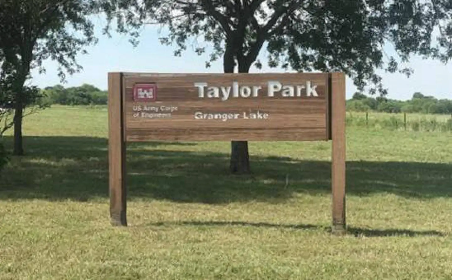
Overview Taylor Campground, on the banks of Granger Lake, is an excellent lakeside destination for families of all ages. The park pleases nature lovers with its hiking trail and water skiers with its easily accessible boat dock. Anglers flock to Granger Lake because it is one of the top five crappie and white bass fishing destinations in central Texas. Recreation Boating, hiking, hunting and wildlife viewing are all reasons visitors camp at Taylor. Hikers can enjoy the Comanche Bluff Trail, which loops around the campground and carries on in both directions along the southern side of the lake. Facilities The campground has 48 sites, each with water and electric hookups. Showers and flush toilets provide a comfortable camping experience and a playground and boat dock in the park, make entertaining easy. Natural Features Taylor Park is located in the gently rolling hills of the Texas Blackland Prairie, 40 miles from Austin TX. Granger Lake was formed by a dam built in 1980 for flood control. The lake is fed by the San Gabriel River and Willis Creek. Nearby Attractions Several designated wildlife areas border the lake, including Pecan Grove Wildlife Area, San Gabriel Wildlife Area, Sore Finger Wildlife Area, and Willis Creek Wildlife Area. Take the kids to Sore Finger and find out how the area earned its name.
From the managing agency.
Is TAYLOR free?
We do not have a fee on record for TAYLOR. Confirm the cost locally before you go.
How do I get to TAYLOR?
TAYLOR is at 30.6642, -97.3644. We do not hold written directions for this one, so navigate to the coordinates.
Nearby
- WILSON H FOX1.7 mi
- WILLIS CREEK3.1 mi
- FRIENDSHIP PARK4.8 mi
- CEDAR BREAKS PARK22.2 mi
- JIM HOGG PARK22.7 mi
- RUSSELL PARK23.5 mi
- TEJAS PARK27.6 mi
- STILLHOUSE27.6 mi
No other services within 50 mi on the record.
SourceSource data is agency published. Last synced September 19, 2026. Community reports and photos are submitted by travelers and are not verified by the agency.
