
CEDAR BREAKS PARK
Campground · Fee
Fast facts
- Cost
- Fee charged
- Type
- Campground
- Phone
- 512-930-5253
- Coordinates
- 30.6681, -97.7376
- Last verified
- September 19, 2026
About this place
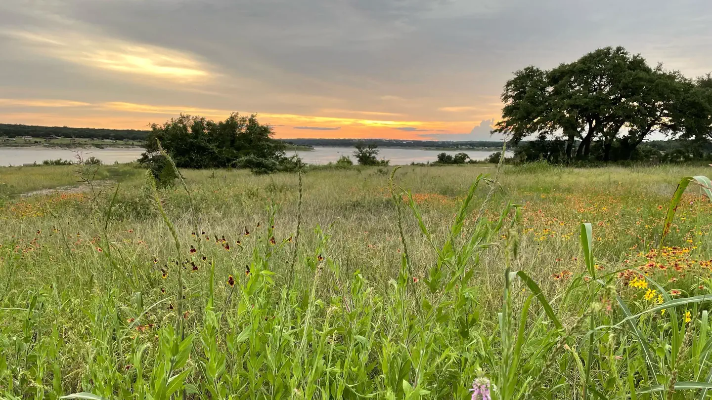
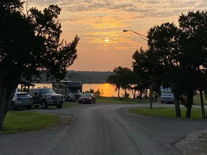
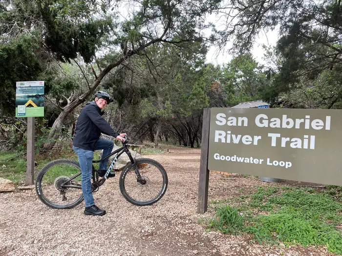
Overview Cedar Breaks Park sits on the south side of Georgetown Lake in the Hill Country of Texas, about 25 miles north of Austin. Recreation Boating is the most popular way to enjoy the lake, and a boat ramp is provided for guests. Fishing is excellent in the area, and the lake contains Black bass, White bass, Hybrid stripers, White crappie, Channel catfish and Flathead catfish, but its most known for its abundance of Smallmouth bass. The San Gabriel River Trail is a 26 mile rugged trail winding through dense juniper forest, hardwood bottomlands and prairie grasslands. The trail extends completely around Georgetown Lake via the dam and is open to hiking and biking. Hunting is available for for small game like dove, waterfowl, rabbit and squirrel, as well as white tail deer. Hunting is by permit only. Facilities Cedar Breaks Park has 59 reservable campsites, and convenient amenities like flush toilets and electric hookups are provided. Two groups picnic shelters are also available, allowing for large parties, cookouts and family trips. Natural Features Lake Georgetown is a reservoir on the north fork of the San Gabriel River in central Texas. The dam was completed in 1979 to provide flood control and water supply for the nearby community of Georgetown, and now provides countless recreation opportunities for outdoor enthusiasts. The park is aptly named for the abundance of cedar in the surrounding forest. Nearby Attractions The nearby town of Georgetown offers gas, groceries and more. The historic downtown square district has shops and restaurants, and concerts and events are held on a regular basis. Additionally, Austin is located just 25 miles from the lake, offering countless tourist attractions. Charges & Cancellations Once a reservation date has begun, customers cannot change a reservation using the online system or through the Call Center. On-site personnel are not able to modify reservations. Individual Campsites: Cancellations up to 2 days before a reservation start date incur a $10.00 cancellation fee. A customer who cancels a reservation the day before or on the day of arrival will pay a $10.00 service fee AND forfeit the first night's use fee (not to exceed the total paid for the original reservation). Cancellations for a one-night reservation will forfeit the entire amount paid and will not be subject to an additional service fee.
From the managing agency.
Is CEDAR BREAKS PARK free?
No. CEDAR BREAKS PARK charges a fee.
How do I get to CEDAR BREAKS PARK?
CEDAR BREAKS PARK is at 30.6681, -97.7376. We do not hold written directions for this one, so navigate to the coordinates.
Nearby
- JIM HOGG PARK1.4 mi
- RUSSELL PARK1.4 mi
- TEJAS PARK5.7 mi
- WILLIS CREEK20.1 mi
- TAYLOR22.2 mi
- WILSON H FOX23.6 mi
- FRIENDSHIP PARK24.1 mi
- UNION GROVE24.6 mi
No other services within 50 mi on the record.
SourceSource data is agency published. Last synced September 19, 2026. Community reports and photos are submitted by travelers and are not verified by the agency.
