
MUSTANG
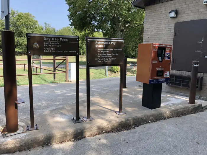
Campground · Fee
Fast facts
- Cost
- Fee charged
- Type
- Campground
- Phone
- 817-292-2400
- Coordinates
- 32.5928, -97.4800
- Last verified
- September 19, 2026
About this place
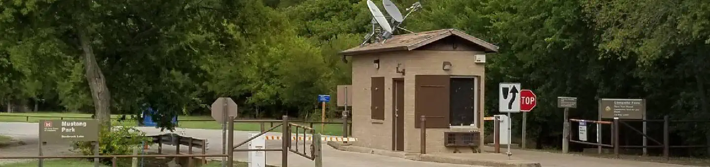
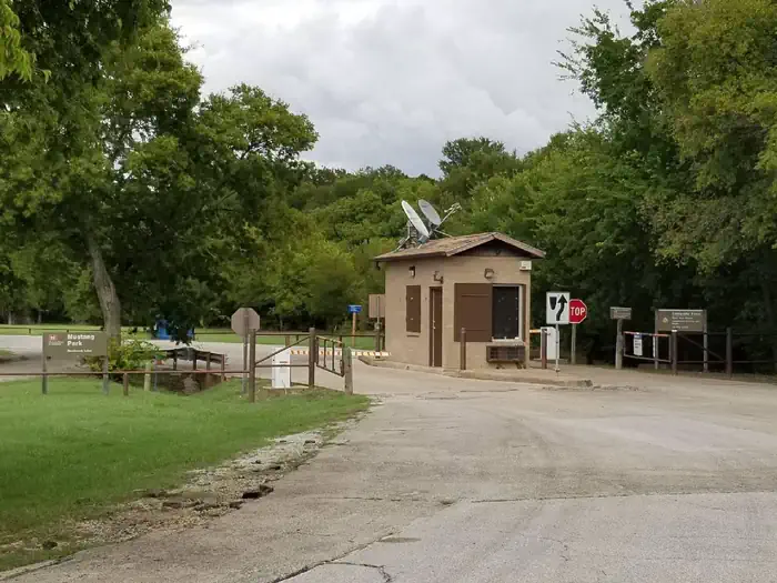
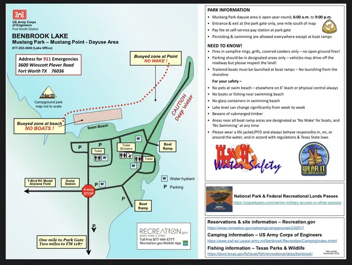
Overview Mustang Park is a spacious dayuse area on the south side of Benbrook Lake in north-central Texas, accessible from WInscott Plover Road. Swimming, picnicking, fishing, boat launching, and wildlife viewing are available. Recreation Mustang is a unique recreation experience at Benbrook, where day-users are not restricted to designated table sites or roadways - you may set up and day-use anywhere in the park you like, even right on the shoreline. The adjacent swimming beach is popular, as is fishing along the shoreline of Mustang Point. Facilities Mustang Park offers open day-use, along with a large group pavilion with utilities, as well as restrooms with showers, and a trailer dump station. Natural Features Mustang Park is on the west side of Mustang Creek on the south side of the Lake, with wooded creek bottoms and gently sloping shorelines. Nearby Attractions Fort Worth's renowned Cultural & Museum District, Stockyards National Historic District, Botanical Gardens, Zoo, Bass Performance Hall, and downtown Sundance Square, are all only a short drive. The campground closes at 10:00 p.m. so plan ahead.. Contact Info This location has limited staffing. Please call (817) 292-2400 for general information.
From the managing agency.
Is MUSTANG free?
No. MUSTANG charges a fee.
How do I get to MUSTANG?
MUSTANG is at 32.5928, -97.4800. We do not hold written directions for this one, so navigate to the coordinates.
Nearby
- Mustang - Bear Creek Campground1.2 mi
- BEAR CREEK1.3 mi
- ROCKY CREEK PARK (BENBROOK LAKE)1.9 mi
- Holiday (Texas)2.0 mi
- NORTH HOLIDAY PARK4.1 mi
- LONGHORN4.4 mi
- KIMBALL BEND PARK32.4 mi
- MURRELL PARK36.0 mi
No other services within 50 mi on the record.
SourceSource data is agency published. Last synced September 19, 2026. Community reports and photos are submitted by travelers and are not verified by the agency.
