
LONGHORN
Campground · Fee not listed
Fast facts
- Cost
- Not listed. Check locally.
- Type
- Campground
- Phone
- 817-292-2400
- Coordinates
- 32.6504, -97.4464
- Last verified
- September 19, 2026
About this place
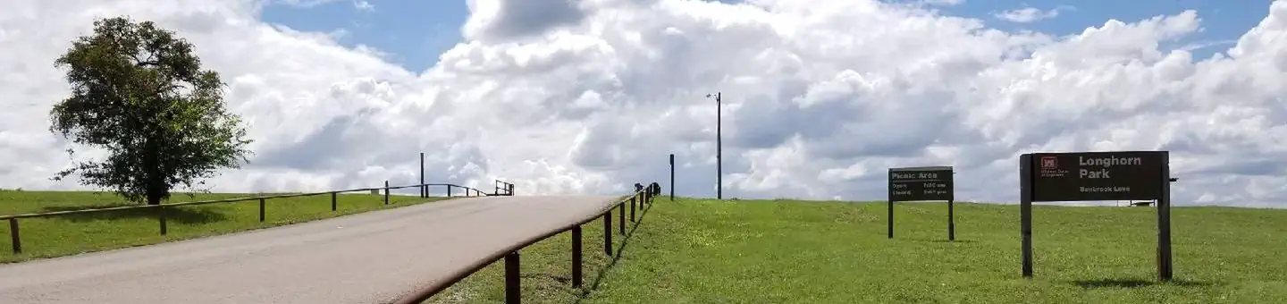
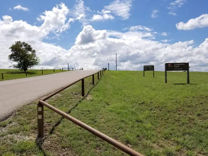
Overview Longhorn Park Picnic Area overlooks Benbrook Lake & Dam in north-central Texas, easiley accessible from the Chisholm Trail Parkway and southwest Fort Worth. Along with a scenic overlook, a large group pavilion is available as well as picnicking, fishing and boat launching. Recreation The large group pavilion is popular for family and group activitries. Individual picnic sites and boat launching is also available in the park. The nearby spillway cut for the dam is a popular fossil-hunting locaiotn where visitors can search rof Cretaceous clams and coral remnants form 85 million yeats ago. Facilities The large picnic shelter can accommodate up to 100 guests, with restrooms, available parking, access to trails and lake shoreline. There is no electricity on site. Natural Features Longhorn Park is on the high rocky bluffs of the Clear Fork, overlooking the southeast end of the dam. Nearby Attractions City lease areas on the lake's north end offer golf courses, ball fields, tennis & volleyball courts, children's play areas, trail access and other facilities. Fort Worth's renowned Cultural & Museum District, Stockyards National Historic District, Botanical Gardens, Zoo, Bass Performance Hall, and downtown Sundance Square, are all only a short drive.
From the managing agency.
Is LONGHORN free?
We do not have a fee on record for LONGHORN. Confirm the cost locally before you go.
How do I get to LONGHORN?
LONGHORN is at 32.6504, -97.4464. We do not hold written directions for this one, so navigate to the coordinates.
Nearby
- NORTH HOLIDAY PARK1.6 mi
- ROCKY CREEK PARK (BENBROOK LAKE)3.1 mi
- Holiday (Texas)3.7 mi
- Mustang - Bear Creek Campground4.3 mi
- MUSTANG4.4 mi
- BEAR CREEK4.7 mi
- MURRELL PARK31.7 mi
- KIMBALL BEND PARK36.4 mi
No other services within 50 mi on the record.
SourceSource data is agency published. Last synced September 19, 2026. Community reports and photos are submitted by travelers and are not verified by the agency.
