
KIMBALL BEND PARK
Campground · Fee not listed
Fast facts
- Cost
- Not listed. Check locally.
- Type
- Campground
- Phone
- 254-622-3332
- Coordinates
- 32.1233, -97.4981
- Last verified
- September 19, 2026
About this place
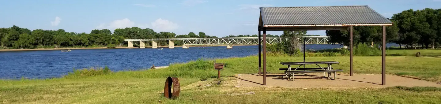
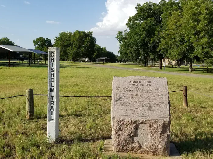
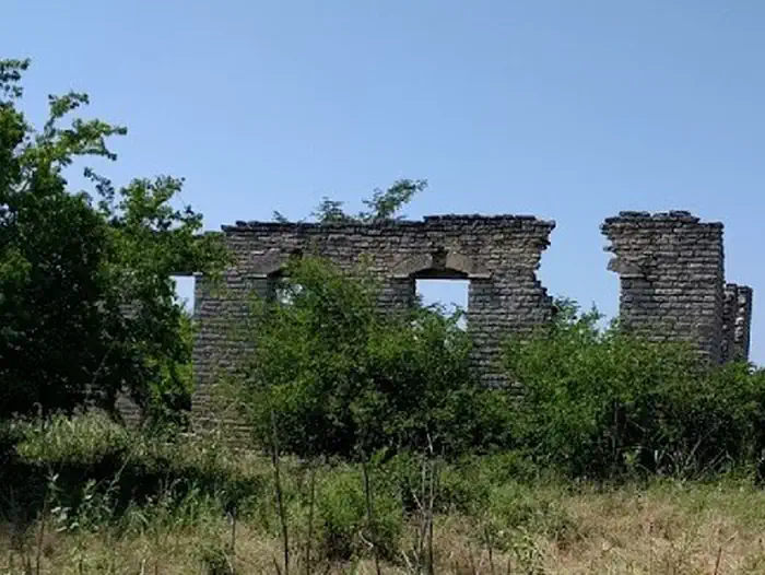
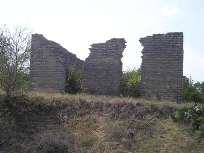
Overview Kimball Bend Campground is located on Whitney Lake off the main channel of the Brazos River in Central Texas. The campground offers thirty four 50 amp campsites. Recreation Boating, fishing, swimming, canoeing and kayaking are popular activities on the river and downstream at Whitney Lake. Anglers can fish for a variety of bass, crappie and catfish. Visitors enjoy hiking the Chisholm Trail, a historic route followed by upwards of ten million cattle as they traveled northbound from southern Texas to Kansas and adjacent destinations between 1867 and the 1880s. It crosses through the campground and past several historic structures. Facilities This year-round campground offers 34 sites with water and electric hookups. Amenities include flush toilets, showers, drinking water, a dump station and boat ramp. * Please note that water for this facility is supplied by an onsite Public Water Supply (PWS) and in the event of a power ouatage that lasts more than 24 hours visitors may be asked to evacuate the park since water cannot be provided. Natural Features The Brazos River flows gently over sand and rocks at Kimball Bend. The surrounding rolling hills are covered with cedar, live, and post oak trees. Nearby Attractions The 12.5 mile Hopewell Trail is nearby. It allows hiking, mountain biking, and horseback riding. Visitors can travel south to Lakeside Village and Powelldale Mountain.
From the managing agency.
Is KIMBALL BEND PARK free?
We do not have a fee on record for KIMBALL BEND PARK. Confirm the cost locally before you go.
How do I get to KIMBALL BEND PARK?
KIMBALL BEND PARK is at 32.1233, -97.4981. We do not hold written directions for this one, so navigate to the coordinates.
Nearby
- PLOWMAN CREEK3.7 mi
- CEDRON CREEK12.0 mi
- MCCOWN VALLEY13.7 mi
- LOFERS BEND EAST18.3 mi
- LOFERS BEND WEST18.3 mi
- LOFERS BEND DAY USE (TX)18.8 mi
- MUSTANG32.4 mi
- BEAR CREEK32.8 mi
No other services within 50 mi on the record.
SourceSource data is agency published. Last synced September 19, 2026. Community reports and photos are submitted by travelers and are not verified by the agency.
