
CEDRON CREEK
Campground · Fee not listed
Fast facts
- Cost
- Not listed. Check locally.
- Type
- Campground
- Phone
- 254-622-3332
- Coordinates
- 31.9644, -97.4142
- Last verified
- September 19, 2026

About this place
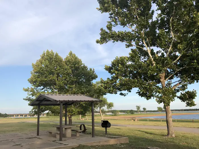
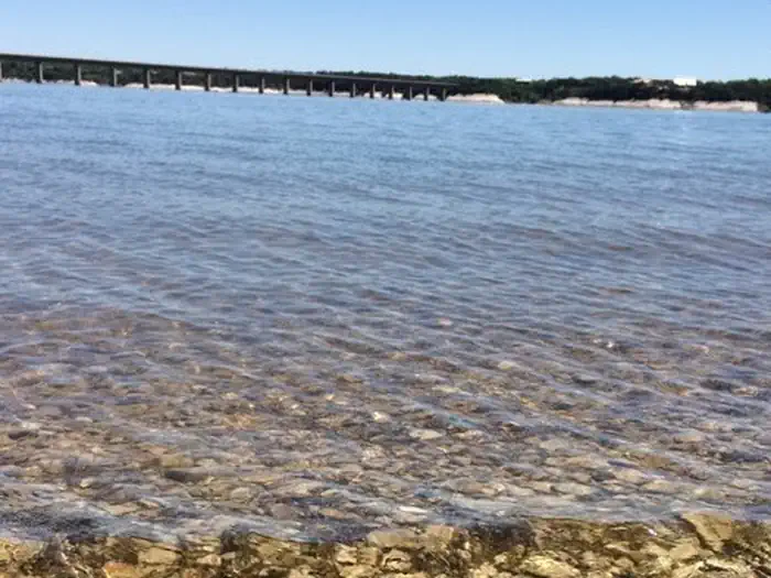
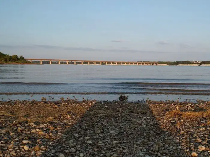
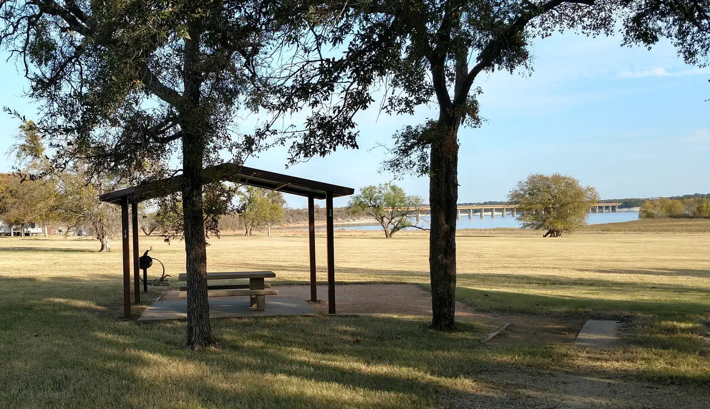
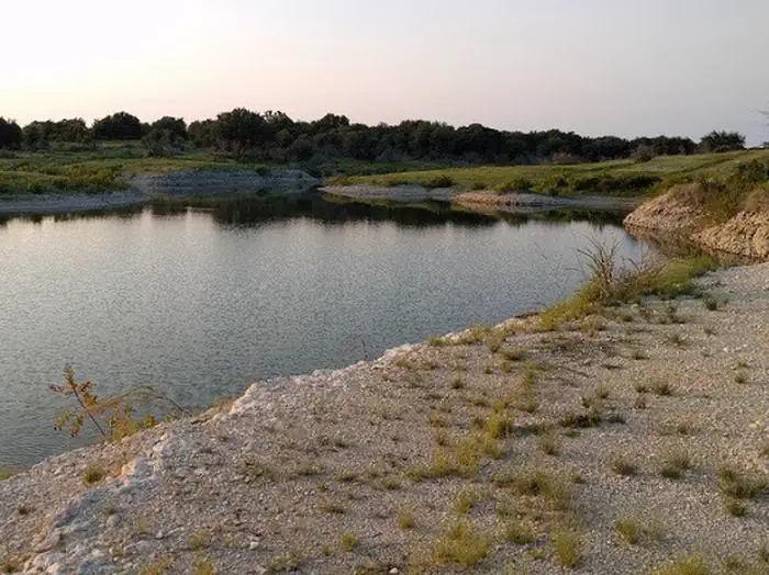
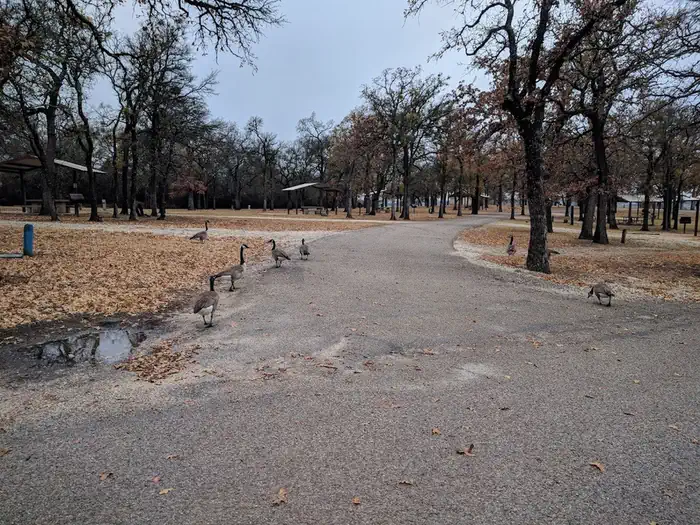
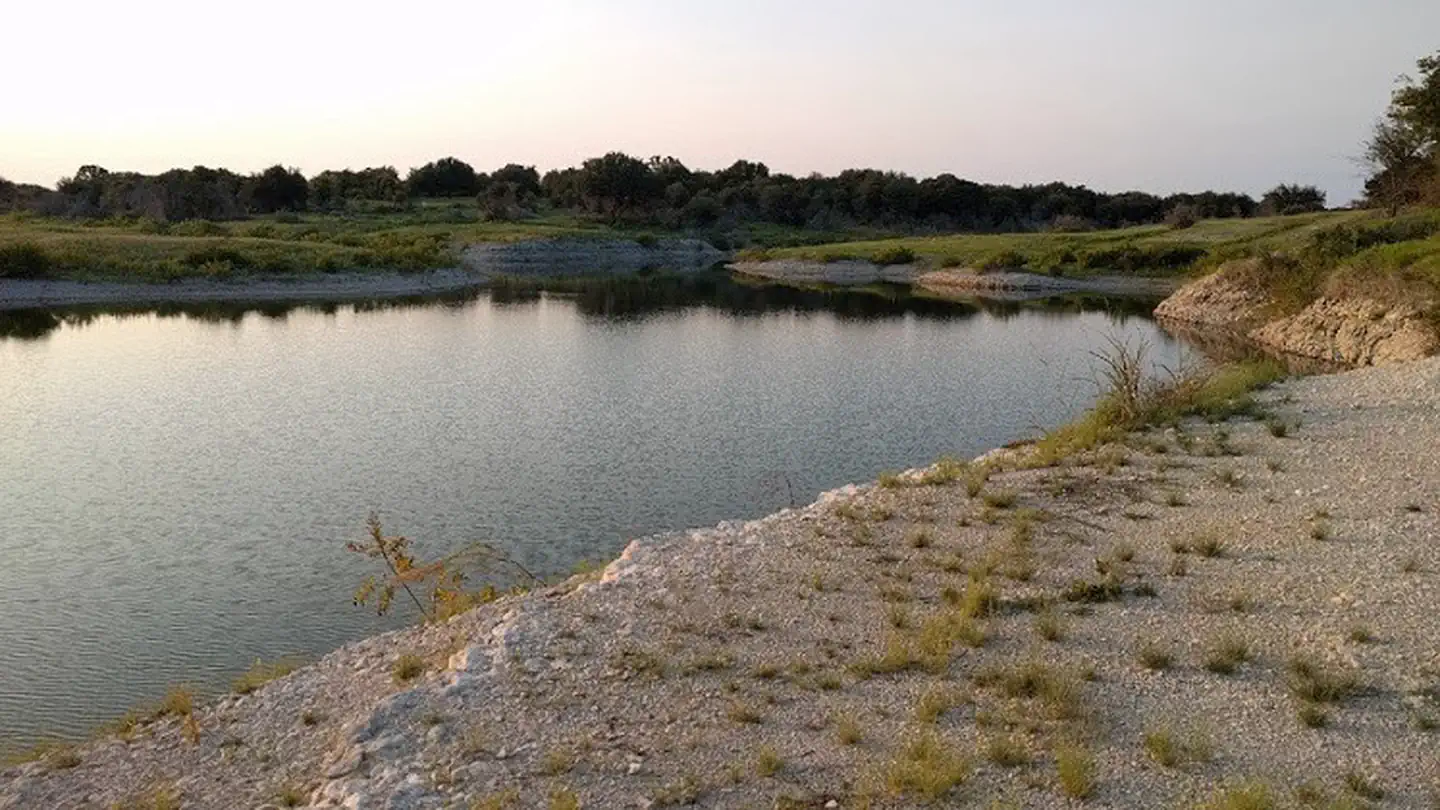
Overview Cedron Creek Campground is located on Whitney Lake on the main channel of the Brazos River in Central Texas. The majority of campsites in Cedron Creek are 30 amp electric hook ups with water and 10 sites have water and 50 amp electric hook ups. Each site has a stand up BBQ cooker or a ground cooker/fire ring. The park also has 3 restrooms, showers, horseshoe pits, a trailer dump station, boat ramp and a playground. Recreation Boating, fishing, swimming, canoeing and kayaking are popular activities at Whitney Lake. Anglers can fish for a variety of bass, crappie and catfish. Facilities The campground offers 57 sites which all have either 30 or 50 amp electric and water. There is a group camp area located near the water and is within 100 yards of a large restroom with showers. The pavilion has a capacity of approximately 100 people and contains eight (8), eight foot tables, electricity, lights, a large (3' X 3') grill and eight campsites. Natural Features Cedron Creek is situated on the lakeshore among rolling hills covered with cedar, live and post oak. Nearby Attractions The 12.5 mile Hopewell Trail is nearby. It allows hiking, mountain biking, and horseback riding. Visitors can choose to travel north on the trail to Kimball Bend Park, or south to Lakeside Village and Powelldale Mountain.
From the managing agency.
Is CEDRON CREEK free?
We do not have a fee on record for CEDRON CREEK. Confirm the cost locally before you go.
How do I get to CEDRON CREEK?
CEDRON CREEK is at 31.9644, -97.4142. We do not hold written directions for this one, so navigate to the coordinates.
Nearby
- MCCOWN VALLEY2.1 mi
- LOFERS BEND EAST6.3 mi
- LOFERS BEND WEST6.3 mi
- LOFERS BEND DAY USE (TX)6.8 mi
- PLOWMAN CREEK8.6 mi
- KIMBALL BEND PARK12.0 mi
- AIRPORT PARK26.5 mi
- AIRPORT BEACH SHELTER26.8 mi
No other services within 50 mi on the record.
SourceSource data is agency published. Last synced September 19, 2026. Community reports and photos are submitted by travelers and are not verified by the agency.
