
Rock Creek Campground (TN)
Campground · Fee not listed
Fast facts
- Cost
- Not listed. Check locally.
- Type
- Campground
- Phone
- (423) 346-6294
- Nearest dump station
- Cades Cove New Dump Station · 59.4 mi
- Coordinates
- 36.0702, -84.6633
- Last verified
- September 19, 2026
About this place
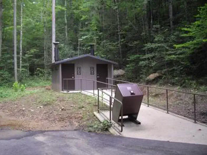
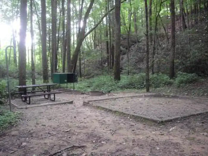
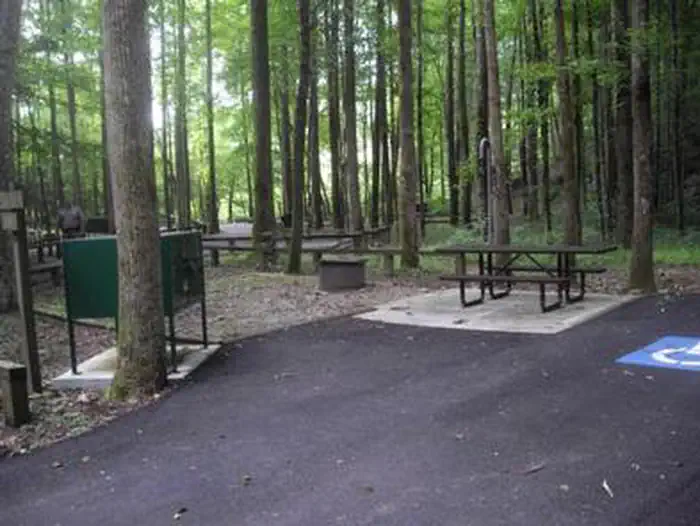
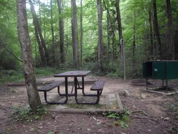
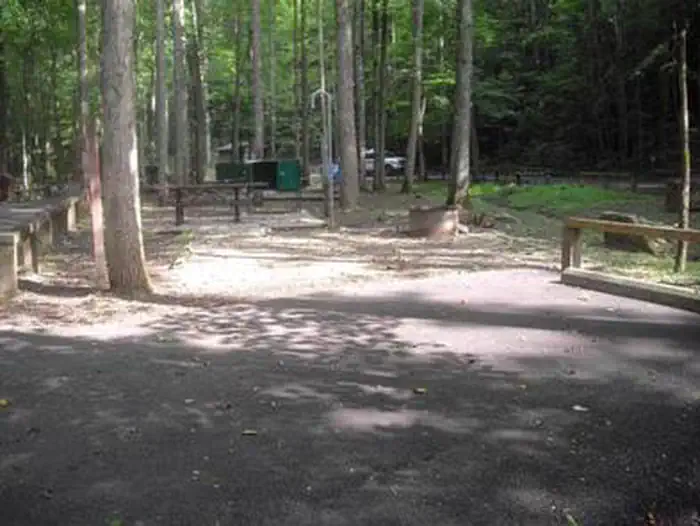
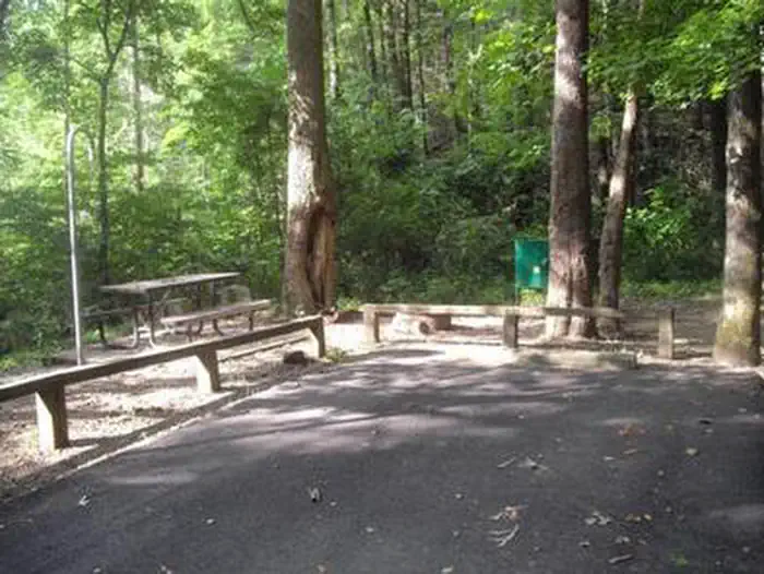
Overview Rock Creek Campground is located near the Emory River in the Obed Wild and Scenic River. Recreation Whitewater paddling is available seasonally in the Obed WSR. Rock climbing is another challenging activity, as is boulder climbing. The Obed WSR sports several unique trails for hikers, most notably the Point Trail and a portion of the Cumberland Trail. Those who like to fish will enjoy the Obed WSR, as a variety of bass, bluegill, catfish and other fish populate the river. Birdwatching is also a fun activity, particularly during the migratory seasons. Facilities Rock Creek Campground has 11 campsites. Each site has a picnic table, food storage locker, fire ring with grill, lantern hook and paved parking. A vault toilet is also centrally located in the campground. Natural Features The Obed River winds through the Cumberland Plateau offering a variety of recreational activities for everyone. Nearby Attractions Just a few miles from the park is Frozen Head State Park which encompasses more than 24,000 acres of forest with mountainous terrain at an elevation from 1,340 feet to over 3,000 feet. Catoosa Wildlife Management Area is an 82,000 acre preserve with a focus on hunting and fishing but offering a wealth of other recreational activities as well. Lone Mountain State Forest is 3,600 acres and has 15 miles of trails for hikers, mountain bikers and horseback riders.
From the managing agency.
Is Rock Creek Campground (TN) free?
We do not have a fee on record for Rock Creek Campground (TN). Confirm the cost locally before you go.
How do I get to Rock Creek Campground (TN)?
Rock Creek Campground (TN) is at 36.0702, -84.6633. We do not hold written directions for this one, so navigate to the coordinates.
Nearby
SourceSource data is agency published. Last synced September 19, 2026. Community reports and photos are submitted by travelers and are not verified by the agency.
