
BANDY CREEK
Campground · Fee not listed
Fast facts
- Cost
- Not listed. Check locally.
- Type
- Campground
- Phone
- (423) 286-7275
- Nearest dump station
- Cades Cove New Dump Station · 80.1 mi
- Coordinates
- 36.4889, -84.6976
- Last verified
- September 19, 2026

About this place
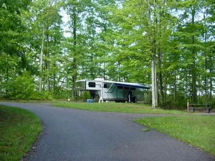
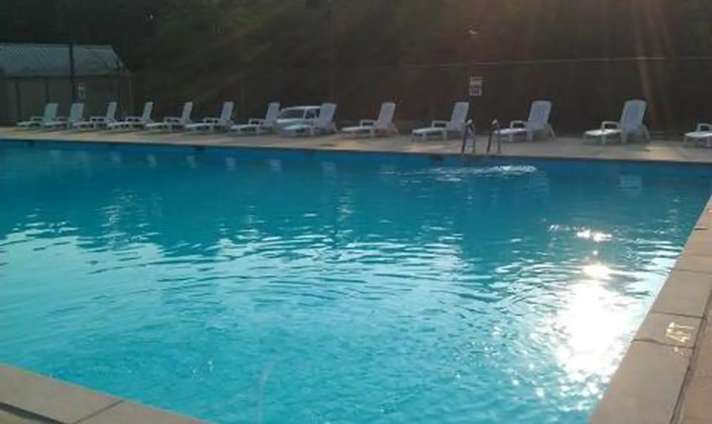
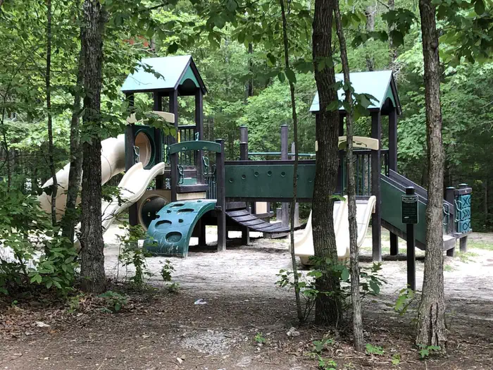
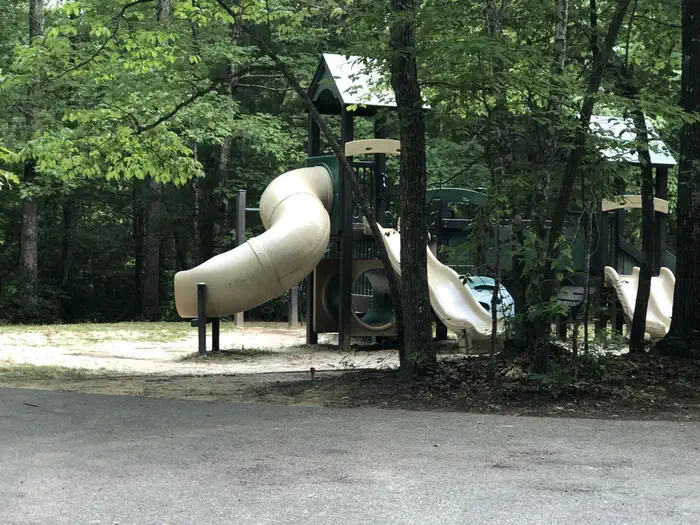
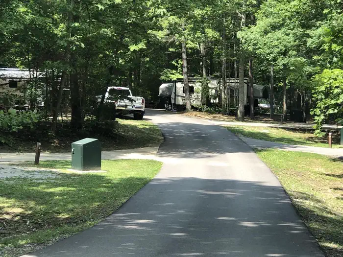
Overview Bandy Creek is a spacious and modern campground, situated in The Big South Fork National River and Recreation Area--a vast and scenic expanse of land that offers visitors countless recreational activities. Recreation Numerous trails snake through the Recreation Area, offering mountain biking, hiking and horseback riding for visitors. A swimming pool, along with on-site volleyball court, playgrounds and ball fields, make Bandy Creek an ideal spot for families. The main river of the Big South Fork is also a short drive away, offering fishing opportunities. Facilities Bandy Creek combines the experience of traditional woods camping with the modern conveniences of flush toilets, hot showers and electric hookups. Sites can accommodate groups and both RV and tent camping. The campsites are spacious and provide picnic areas and plenty of shade. Natural Features The Big South Fork is located in north central Tennessee and southeastern Kentucky in some of the most rugged terrain of the Cumberland Plateau. The park encompasses approximately 125,000 acres including rocky gorges and forested plateaus. Numerous pristine streams unite with the free-flowing Big South Fork of the Cumberland River. Over thousands of years, ceaselessly moving water has carved the sandstone of the plateau into impressive cliffs, arches and chimneys, which are found throughout the park. Nearby Attractions Located just under 20 miles from Bandy Creek is the Blue Heron Mine, also known as Mine 18, a historic abandoned mining town that has been rebuilt as an outdoor museum. Visitors can hear audio presentations from actual people who lived in the community in the 1950s.
From the managing agency.
Is BANDY CREEK free?
We do not have a fee on record for BANDY CREEK. Confirm the cost locally before you go.
How do I get to BANDY CREEK?
BANDY CREEK is at 36.4889, -84.6976. We do not hold written directions for this one, so navigate to the coordinates.
Nearby
SourceSource data is agency published. Last synced September 19, 2026. Community reports and photos are submitted by travelers and are not verified by the agency.
