
Station Camp Campground
Campground · Fee
Fast facts
- Cost
- $28.00
- Type
- Campground
- Sites
- 28 total · 28 reservable · 0 first come
- Reservations
- recreation.gov
- Phone
- (423) 286-7275
- Nearest dump station
- Cades Cove New Dump Station · 81.1 mi
- Coordinates
- 36.5469, -84.6362
- Last verified
- September 19, 2026
About this place
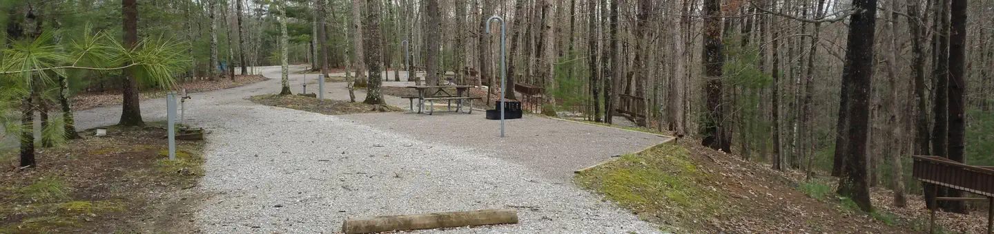
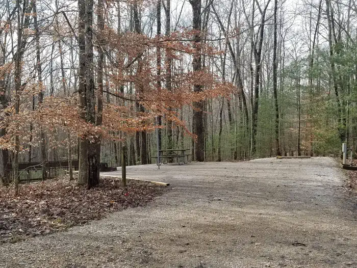
Overview Station Camp Campground (also known as Station Camp Horse Camp) is located on the Tennessee side of the park. Recreation Numerous trails snake through the recreation area, offering mountain biking, hiking and horseback riding for visitors. The Big South Fork River provides opportunities for all water-sports. Facilities Station Camp Campground combines the experience of traditional woods camping with the modern conveniences of flush toilets, hot showers and electrick hookups. Sites can accomodate both RV and tent camping. Tie-stalls are available on each site. Natural Features Big South Fork is located in north-central Tennessee and southeastern Kentucky in some of the most rugged terrain of the Cumberland Plateau. The park encompasses approximately 125,000 acres including rocky gorges and forested plateaus. Contact Info This location is unstaffed. To speak with our main office for general information, please call: (423) 569-9778. Nearby Attractions Just a few miles down the road is the Station Camp River Access where most horseback riders cross the river to access numerous trails. The river access has a picnic area and vault toilets.
From the managing agency.Official page
Is Station Camp Campground free?
No. Station Camp Campground charges $28.00. 28 of its sites are reservable through recreation.gov.
Can I bring an RV to Station Camp Campground?
Station Camp Campground has 28 sites on record. 28 sites are reservable and 0 are first come.
How do I get to Station Camp Campground?
After turning onto Hwy 297 westward from Oneida, TN, follow the road for approximately 5 miles and stay straight to continue on Station Camp Road another 5 miles. Turn right into Station Camp Campground.
What is the weather like at Station Camp Campground?
The weather along the Cumberland Plateau can be best described as unpredictable. Each season brings its own weather patterns. Summers are generally hot and humid, with high temperatures sometimes eclipsing 90 degrees. The low temperatures in winter often dip below freezing. Spring sees the most amount of precipitation, but rainfall can occur in various amounts throughout the year.
What are the rules at Station Camp Campground?
All food, food items (mustard, ketchup, etc), coolers (even if they are empty or have ice, water, pop, etc), must be kept in a vehicle or trailer with hard sides, except while preparing or eating it. Parking is not allowed on the gravel pads (gravel pads are for tents). Pets MUST be restrained on a leash AT ALL TIMES. QUIET HOURS ARE FROM 10:00 PM (ET) TO 6:00 AM (ET) All grey water (dishes, shower, etc) must NEVER be dumped onto the ground. Motorized vehicles not designated for on highway use (i.e. ATV’s, golf carts, etc) are prohibited on public roads including campground roads within the Big South Fork NRRA.
Nearby
SourceSource data is agency published. Last synced September 19, 2026. Community reports and photos are submitted by travelers and are not verified by the agency.
