
Yellowbottom Recreation Site
BLM · Campground · Fee
Fast facts
- Cost
- Fee charged
- Managed by
- BLM
- Type
- Campground
- Phone
- 503-375-5646
- Coordinates
- 44.5889, -122.3734
- Last verified
- September 19, 2026

About this place
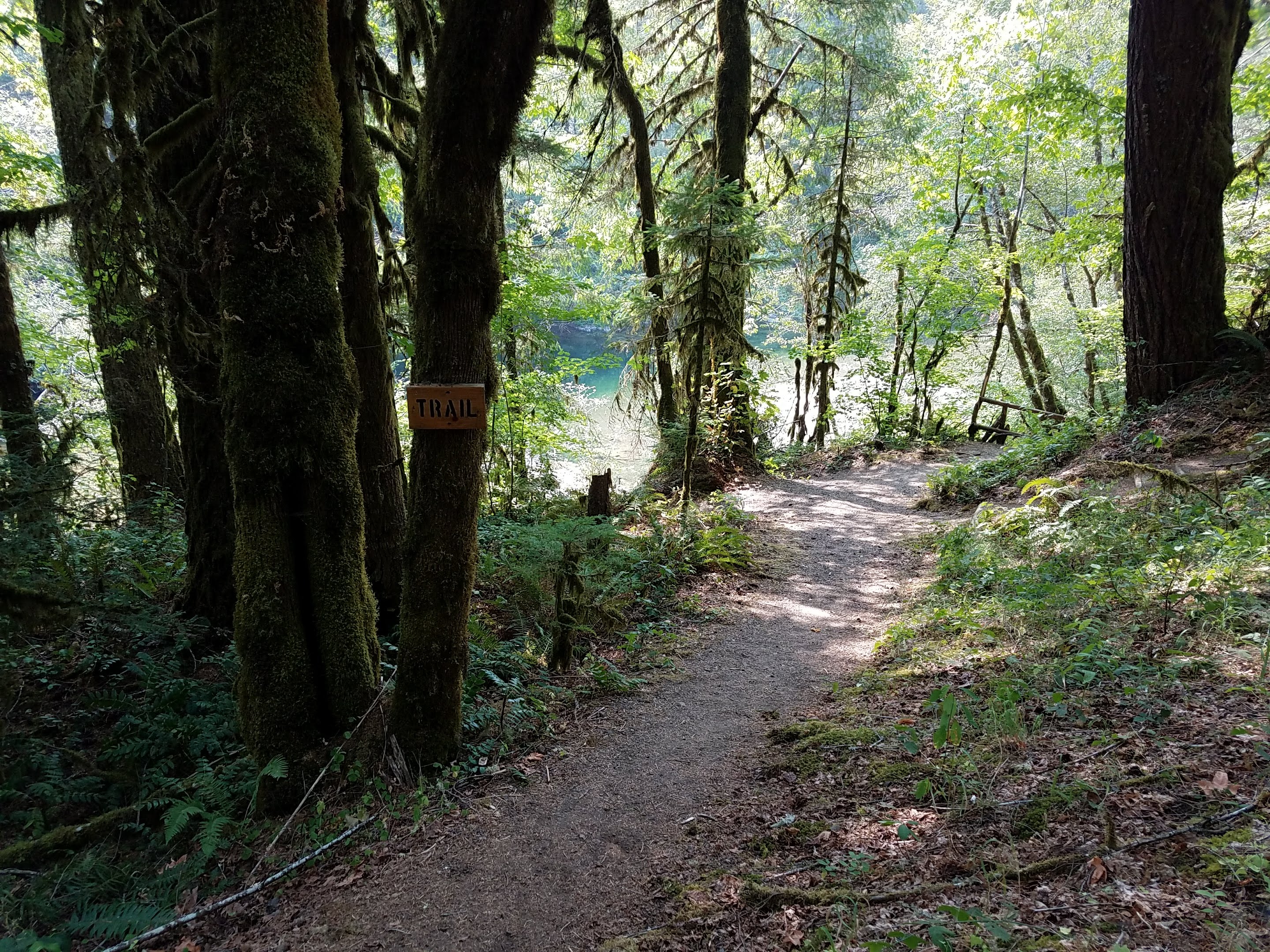
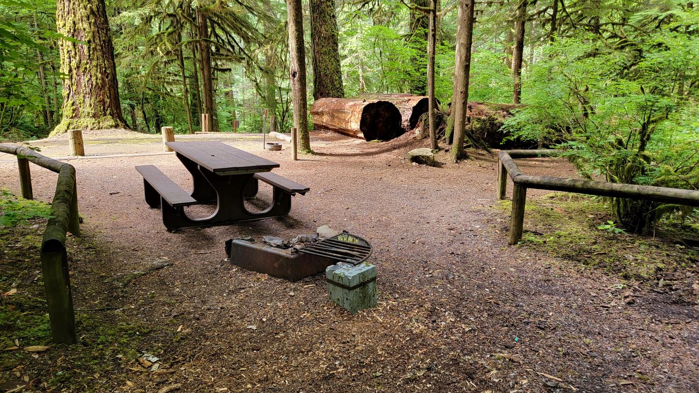
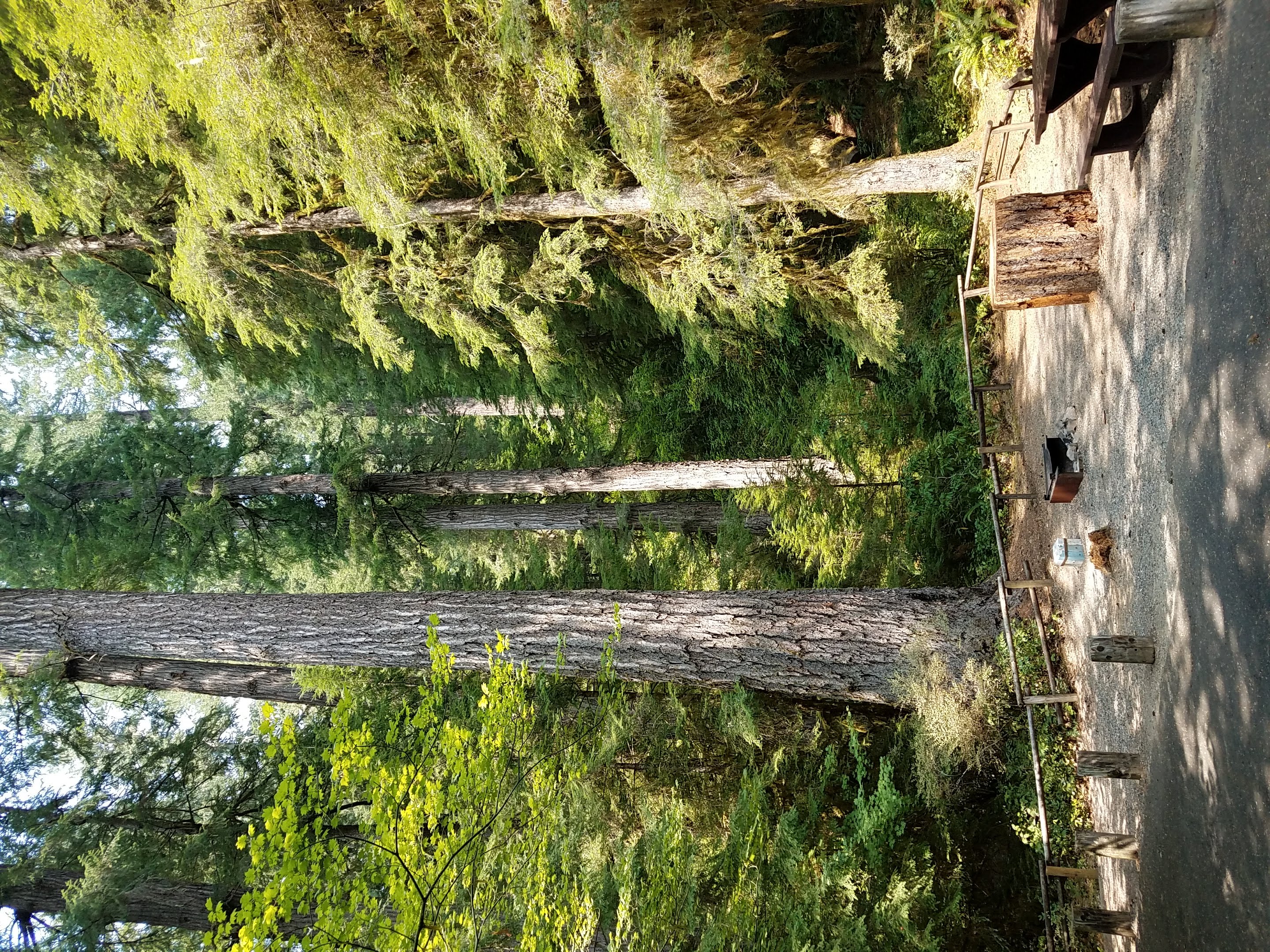
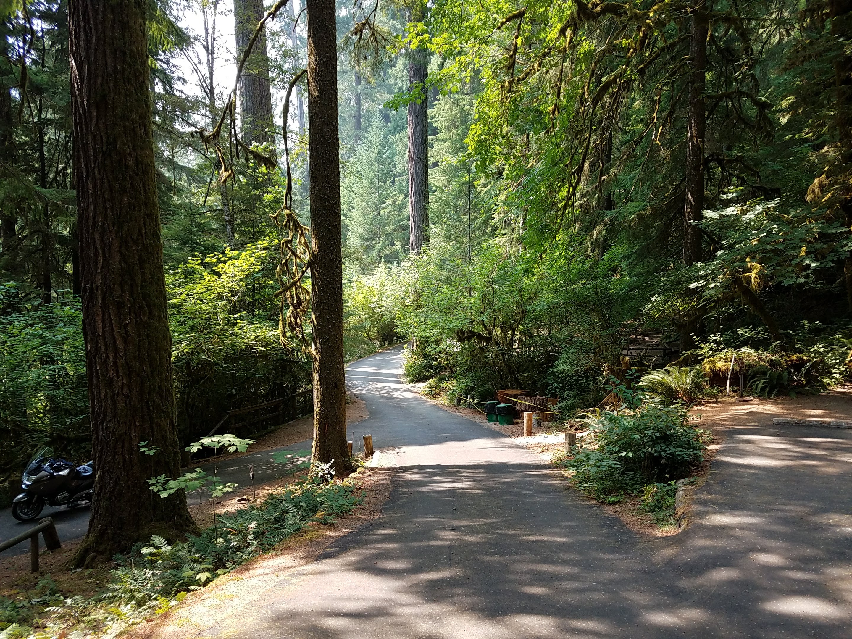
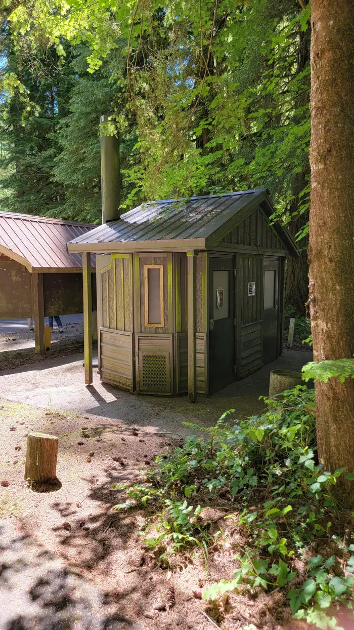
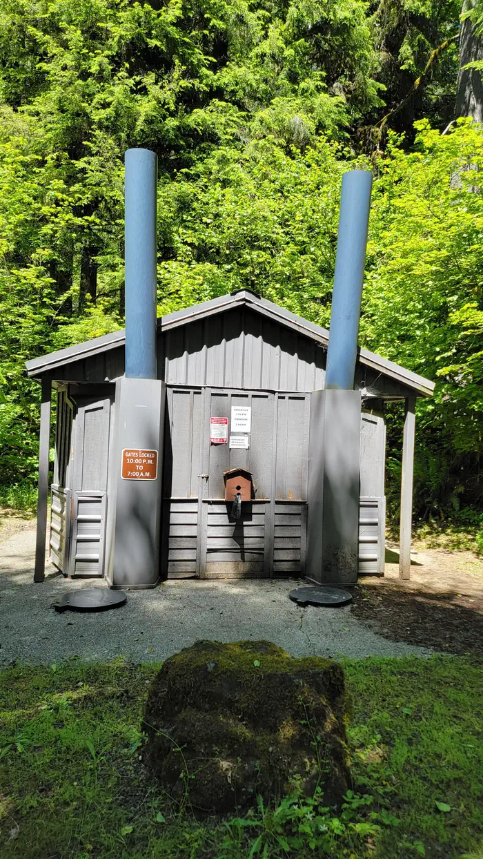
Overview Yellowbottom offers a one-mile hiking trail and access to Quartzville Creek Wild and Scenic River. Recreation Yellowbottom offers a one-mile hiking trail and access to Quartzville Creek Wild and Scenic River. Facilities Vault toilets Natural Features Yellowbottom offers a beautiful swimming hole and a one-mile trail that will lead to old-growth trees. Discover a landscape of old-growth and maturing forests, accented by rock outcropping, wildflowers and vivid fall colors. Nearby Attractions Multiple Forest Service trails into the Middle Santiam Wilderness Drive the Quartzville National Back Country Byway, past the emerald depths of Green Peter Reservoir and along the meandering waters of the Wild and Scenic Quartzville Creek. Enjoy a day of hiking and exploring, or spend the day fishing, swimming, and gold panning on the serene Quartzville River. The Old Miner's Meadow group campsite is nearby and can be reserved on recreation.gov . Charges & Cancellations Standard fees apply and are non-refundable. Visit https://www.recreation.gov/rules-reservation-policies for more information.
From the BLM.Official page
Is Yellowbottom Recreation Site free?
No. Yellowbottom Recreation Site charges a fee. It is managed by the BLM.
How do I get to Yellowbottom Recreation Site?
Yellowbottom Recreation Site is at 44.5889, -122.3734. We do not hold written directions for this one, so navigate to the coordinates.
Nearby
- Old Miner's Meadow Group Use Area1.1 mi
- Southshore Campground12.6 mi
- Southshore at Detroit Lake - Willamette (OR)12.6 mi
- Longbow Organizational Camp13.0 mi
- YUKWAH CAMPGROUND13.2 mi
- Trout Creek Campground13.2 mi
- Fernview Campground13.3 mi
- FERNVIEW GROUP SITE13.4 mi
No other services within 50 mi on the record.
SourceData from the BLM. Last synced September 19, 2026. Community reports and photos are submitted by travelers and are not verified by the agency.
