
Old Miner's Meadow Group Use Area
Campground · Fee
Fast facts
- Cost
- Fee charged
- Type
- Campground
- Phone
- 503-897-2406
- Coordinates
- 44.5858, -122.3508
- Last verified
- September 19, 2026

About this place
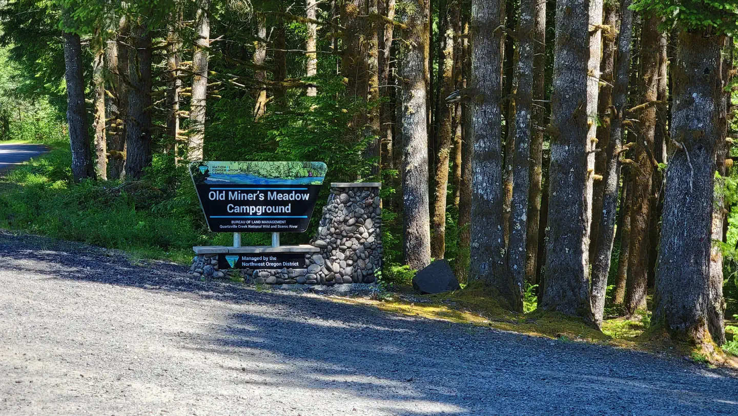
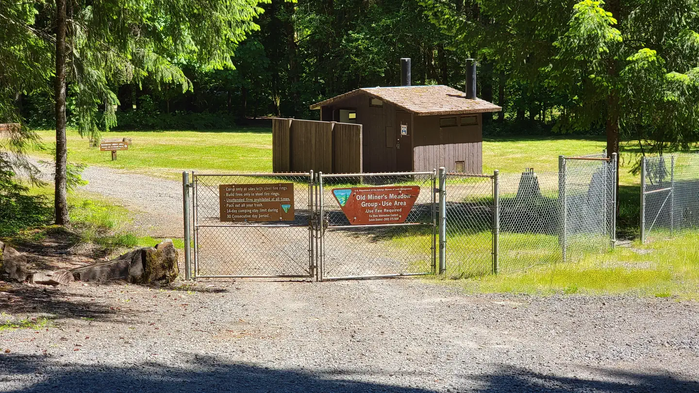
Overview Old Miner's Meadow is a two-acre, fenced-in group use area, located in an open meadow surrounded by forests along the Quartzville Creek National Wild and Scenic River and upstream from the Green Peter Reservoir. It is available by reservation only. The area is popular for gold panning, fishing, scenic touring and kayaking. Weekends tend to be busy, so campers should book early. Summer weather is comfortable, but can be cool. Visitors should come prepared for lower temperatures at night. Recreation The creek is popular for gold panning and kayaking, while the reservoir offers great fishing, swimming, sailing and water skiing. Within a short drive along the creek, campers can find deep pools, waterfalls and swimming areas. Visitors can also drive the Quartzville National Back Country Byway, which meanders along the creek, two lakes and scenic mountain views. There are hiking trails in the nearby national forests. Facilities Maximum of 50 people per reservation. This facility consists of one large group area with no designated campsites. Site amenities include picnic tables, individual campfire rings, a group campfire ring and grill, trash collection, vault toilets and horseshoe pits. The toilets for the site are available to campers on private land just outside the site fence boundary. Groups are required to bring their own drinking water and firewood. Natural Features The section of Quartzville Creek adjacent to the campground is registered as a National Wild and Scenic River for its recreation and resource opportunities. The nearby Green Peter Reservoir has emerald-colored waters, mountain views and plenty of space for water activities. Though some areas of the surrounding forests have been logged, groves of old growth trees are a short drive away from the campground. This facility is in a meadow dotted with trees, and has both shaded and sunny sites. Though campers may not see them in the campground, elk frequent the area. Nearby Attractions Campers can visit the East Linn Museum in the town of Sweet Home to learn about the history of the area. The campground is also adjacent to the Willamette National Forest, which stretches for 110 miles along the western slopes of the Cascade Range in western Oregon. Willamette National Forest Contact Info This location is unstaffed. To speak with our main office for general information, please call: (503) 375-5646. Charges & Cancellations Standard fees apply and are non-refundable. Visit https://www.recreation.gov/rules-reservation-policies for more information.
From the managing agency.
Is Old Miner's Meadow Group Use Area free?
No. Old Miner's Meadow Group Use Area charges a fee.
How do I get to Old Miner's Meadow Group Use Area?
Old Miner's Meadow Group Use Area is at 44.5858, -122.3508. We do not hold written directions for this one, so navigate to the coordinates.
Nearby
- Yellowbottom Recreation Site1.1 mi
- Southshore Campground11.9 mi
- Southshore at Detroit Lake - Willamette (OR)11.9 mi
- Longbow Organizational Camp12.8 mi
- YUKWAH CAMPGROUND12.8 mi
- Cove Creek Campground12.9 mi
- Cove Creek (OR)12.9 mi
- Fernview Campground12.9 mi
No other services within 50 mi on the record.
SourceSource data is agency published. Last synced September 19, 2026. Community reports and photos are submitted by travelers and are not verified by the agency.
