
FERNVIEW GROUP SITE
Campground · Fee not listed
Fast facts
- Cost
- Not listed. Check locally.
- Type
- Campground
- Phone
- 541-967-3917
- Coordinates
- 44.4025, -122.2986
- Last verified
- September 19, 2026


About this place
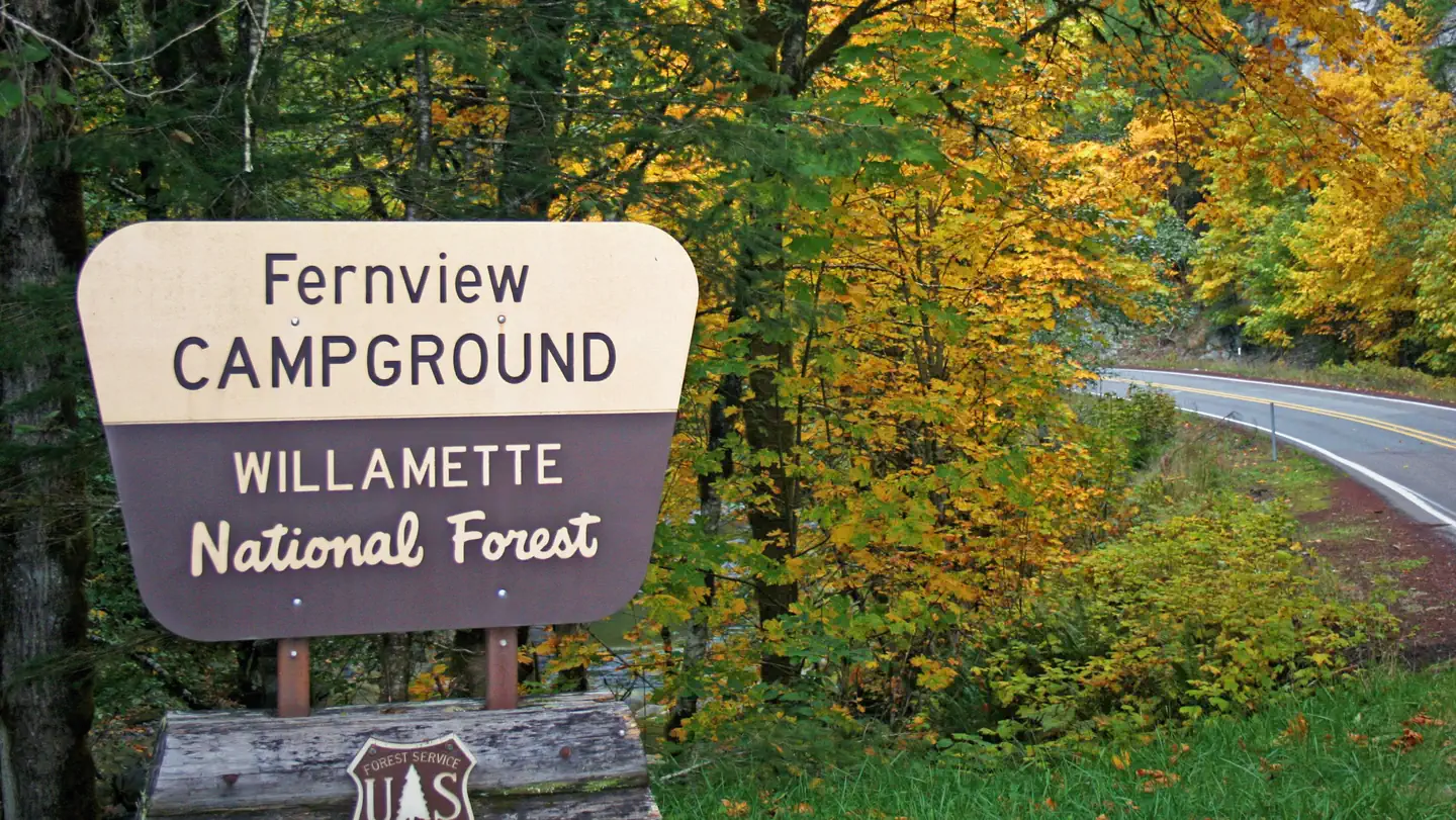
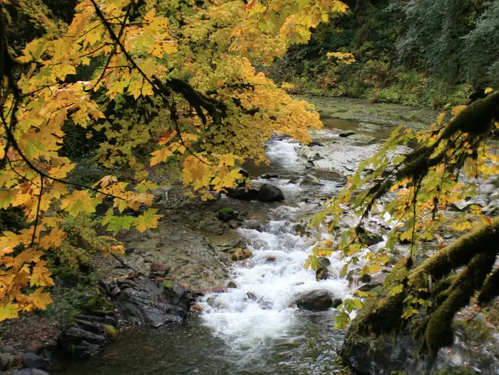
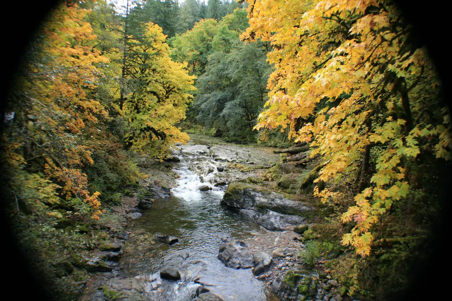
Overview The site was originally a campground that has been converted into a group area. The site is composed of 11 single campsites, of which two are tent only, with some sites able to accommodate trailers up to 22 feet in length. The campground has a capacity of 75 people. There is one accessible single vault toilet and drinking water is available via on hand pump located near the entrance and picnic area. Fernview is a small group area perched on a bench above the South Santiam River. The Rooster Rock Trail is across the highway from the group site and numerous other trails and lakes are in within a short drive. Reservations for this site can be made up to 12 months in advance of arrival date by reserving online at RECREATION.GOV or by calling 877-444-6777. Recreation Fernview Group Site is close to the Menagerie Wilderness with Trout Creek and the Rooster Rock Trails accessing Rooster Rock within the wilderness. Numerous lakes and trails are within a 45 minute drive of the site, including the Santiam Wagon Road (10 minutes), Gordon Meadows, Iron Mountain and Browder Ridge. Facilities Fernview has 11 sites, some suitable for RV's. One Hand pump provides water and there is a newer single CXT toilet on site. River access can be difficult from the campground, but is nearby via a short walk or drive. The Fernview Group Area was originally a campground that has been converted to a group site. Below are the details on the individual sites within the group site; every site has a picnic table and fire pit/grill. There is a parking area adjacent to the bathroom that can also be used for RV parking; this area is suitable for 1 large or 2 small RV's, maximum 2 RV's. Site 1: Back-in, gravel surface, 15 feet long, slight grade, suitable for tent or small camper, sits above river Site 2: Back-in, gravel surface, 30 feet long, slight grade, suitable for tent or small camper, sits above river Site 3: Back-in, gravel surface, 35 feet long, slight grade, suitable for tent or small camper, sits above river Site 4: Back-in, gravel surface, 35 feet long, slight grade, suitable for tent or small camper, sits above river Site 5: Back-in, gravel surface, 35 feet long, slight grade, suitable for tent or small camper, is adjacent to bathroom Site 6: Back-in, gravel surface, 35 feet long, slight grade, suitable for tent or small camper, sits above river Site 7: Back-in, gravel surface, 35 feet long, slight grade, suitable for tent or small camper, sits above river Site 8: Back-in, gravel surface, 35 feet long, slight grade, suitable for tent or small camper, sits above river Site 9: Back-in, gravel surface, 30 feet long, slight grade, suitable for tent or small camper, sits above river Site 10: Back-in, gravel surface, 20 feet long, hard access due to grade, suitable for tent, sits above river Site 11: Back-in, gravel surface, 20 feet long, medium grade, suitable for tent, sits above river Natural Features The group site is nestled in the trees on a bench above the South Santiam River. Nearby Attractions The Santiam Wagon Road (trail) is ten minutes from the site and provides over 20 miles of hiking, biking and horse riding opportunities. Iron Mountain is located ten miles east and known to have over 300 species of wildflowers growing on its flanks. Early July is the best time for viewing wildflowers. Crescent Mountain, House Rock Falls , Browder Ridge and the Middle Santiam Wilderness are nearby and provide excellent hiking opportunities.
From the managing agency.
Is FERNVIEW GROUP SITE free?
We do not have a fee on record for FERNVIEW GROUP SITE. Confirm the cost locally before you go.
How do I get to FERNVIEW GROUP SITE?
FERNVIEW GROUP SITE is at 44.4025, -122.2986. We do not hold written directions for this one, so navigate to the coordinates.
Nearby
- Fernview Campground0.1 mi
- YUKWAH CAMPGROUND2.0 mi
- Trout Creek Campground2.5 mi
- HOUSE ROCK CAMPGROUND2.8 mi
- Longbow Organizational Camp3.2 mi
- LONGBOW ORGANIZATION GROUP3.5 mi
- Sevenmile Horse Camp4.5 mi
- Sevenmile4.5 mi
No other services within 50 mi on the record.
SourceSource data is agency published. Last synced September 19, 2026. Community reports and photos are submitted by travelers and are not verified by the agency.
