
SOUTH SHORE GROUP SITES
Campground · Fee not listed
Fast facts
- Cost
- Not listed. Check locally.
- Type
- Campground
- Phone
- 208-270-0094
- Nearest dump station
- Bull Prairie Campground · 80.5 mi
- Coordinates
- 44.4917, -121.1492
- Last verified
- September 19, 2026


About this place
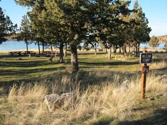
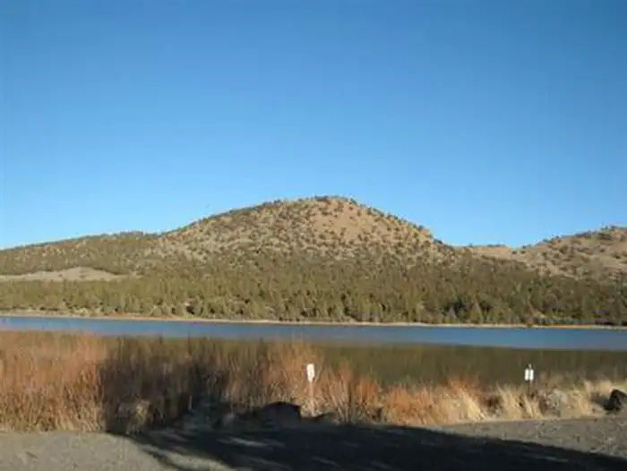
Overview Haystack South Shore Group Campground is the only group campground on Haystack Reservoir. Each of the two campsites holds up to 50 people. This is a year-round facility ideal for large events such as family reunions or groups of rock climbers visiting nearby Smith Rock State Park. Natural Features: South Shore is located in the high desert landscape with views of Mt. Jefferson as a scenic backdrop. Juniper trees and sagebrush dot the landscape. The combination of a low forest canopy and 3,000 ft. elevation make this a perfect location for stargazing at the wide open sky on clear nights. Eagles and other birds inhabit the shoreline of the lake. Recreation: Haystack Reservoir is a popular fishing spot for a variety of species, including kokanee, rainbow trout, largemouth bass, black crappie and brown bullhead catfish. The lake is cool, but a comfortable temperature for swimming. Motorized boating is allowed. Boat launches are located at nearby Haystack and West Shore day use areas. The surrounding national grassland also provides ample opportunities for hunting, hiking, horseback riding, mountain biking and riding off-highway vehicles. Facilities: The facility is very comfortable for group events, providing several picnic tables, campfire rings and plenty of parking. There are two group sites, Willow and Cottonwood, which are out of sight from each other. Although there is no drinking water at this facility, it is available at Haystack Campground down the road. There are no hookups. Vaulted toilets are located near both sites. Nearby Attractions: Smith Rock State Park , best known for its many rock climbing routes, is a short drive away.
From the managing agency.
Is SOUTH SHORE GROUP SITES free?
We do not have a fee on record for SOUTH SHORE GROUP SITES. Confirm the cost locally before you go.
How do I get to SOUTH SHORE GROUP SITES?
SOUTH SHORE GROUP SITES is at 44.4917, -121.1492. We do not hold written directions for this one, so navigate to the coordinates.
Nearby
SourceSource data is agency published. Last synced September 19, 2026. Community reports and photos are submitted by travelers and are not verified by the agency.
