
ROCK CREEK PAVILION
Campground · Fee
Fast facts
- Cost
- Fee charged
- Type
- Campground
- Phone
- 541-440-4930
- Nearest dump station
- Aspen Point Dump Station · 78.9 mi
- Coordinates
- 43.3986, -122.9275
- Last verified
- September 19, 2026
About this place
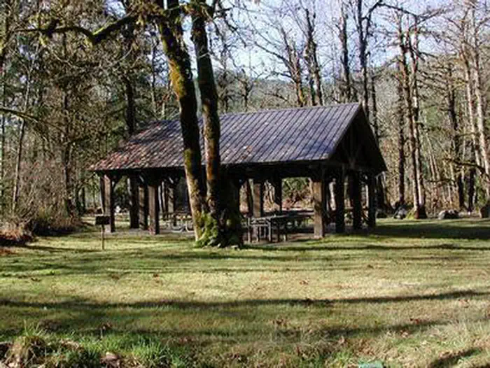
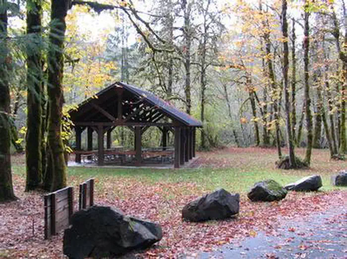
Overview THIS LOCATION IS CLOSED UNTIL FURTHER NOTICE DUE TO WILDFIRE DAMAGE. Of the pavilions in the North Umpqua River Recreation Area, Rock Creek is the quietest and most secluded from neighboring group areas and is surrounded by old growth trees that reach over 150 feet. The nearby North Umpqua River was designated as a Wild and Scenic River in 1988. This classification protects 34 miles of the river for its outstanding scenery and exciting outdoor recreation activities. Recreation Play some volleyball on the grass volleyball court or challenge your group to a round of horseshoes. The stretch of Rock Creek outside the pavilion is a destination for spawning salmon and steelhead in the spring and fall. Because of this, fishing is not allowed. However, a stroll along the creek is highly recommended, or taking the one-mile interpretive trail through the remains of the Rock Creek Sawmill. Facilities Rock Creek accommodates up to 50 people and is equipped with conveniences like drinking water, a sink and electrical outlets. It's ideal for a variety of gatherings and family occasions. If visitors would like to camp overnight, the pavilion is adjacent to the first-come, first-served Rock Creek Campground. Natural Features The pavilion is perched on the banks of the scenic Rock Creek, a tributary of the North Umpqua River. The forested area is at an altitude of 1,200 feet in the foothills of the Cascade Mountains. It's also just west of the Umpqua National Forest, which was established in 1908. Nearby Attractions The North Umpqua River is just up the road, and adventure-seekers will enjoy its whitewater rafting and kayaking. Alongside the North Umpqua River is the North Umpqua Trail, considered one of the top mountain biking trails in the country. The trail follows the river from its headwaters down to the confluence of Rock Creek, and spans 79 miles! Fly fishing for steelhead and salmon in the North Umpqua River is also a popular pastime.
From the managing agency.
Is ROCK CREEK PAVILION free?
No. ROCK CREEK PAVILION charges a fee.
How do I get to ROCK CREEK PAVILION?
ROCK CREEK PAVILION is at 43.3986, -122.9275. We do not hold written directions for this one, so navigate to the coordinates.
Nearby
SourceSource data is agency published. Last synced September 19, 2026. Community reports and photos are submitted by travelers and are not verified by the agency.
