
Lone Pine Group Campground
Campground · Fee
Fast facts
- Cost
- Fee charged
- Type
- Campground
- Phone
- 541-440-4930
- Nearest dump station
- Aspen Point Dump Station · 78.4 mi
- Coordinates
- 43.3836, -122.9464
- Last verified
- September 19, 2026


About this place
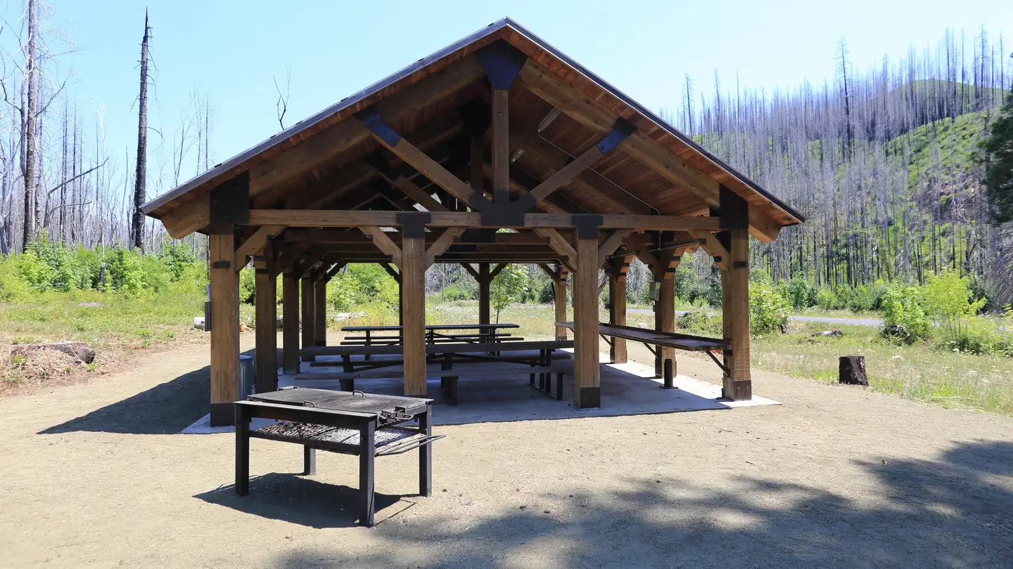
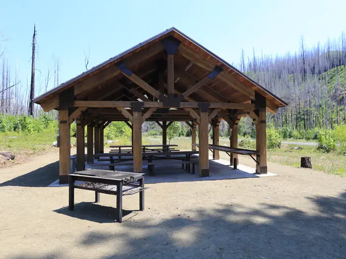
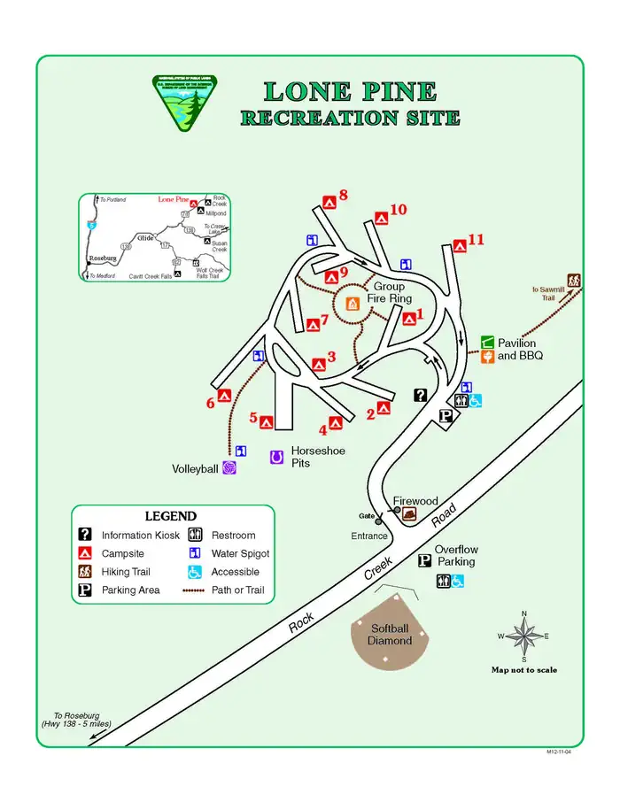
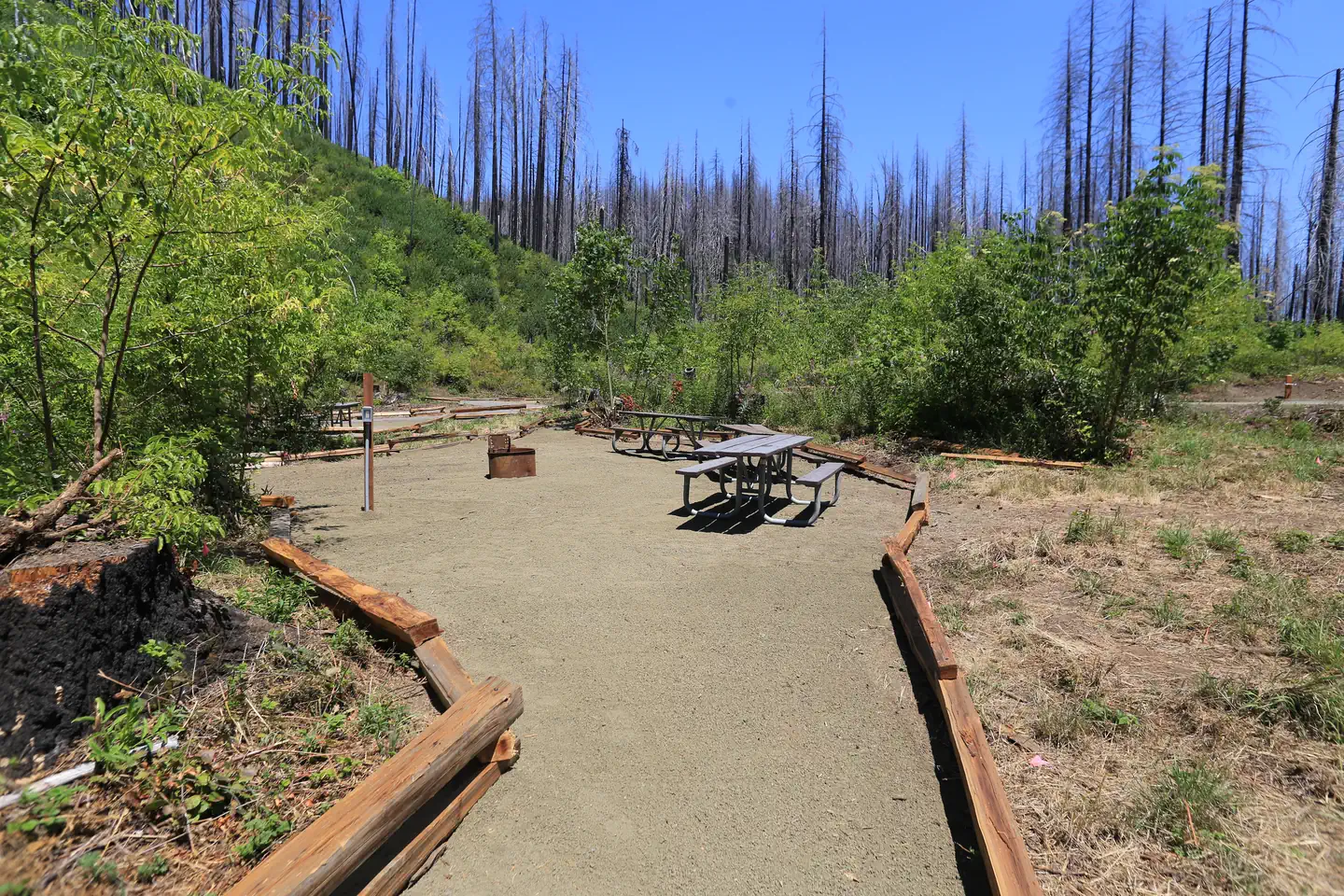
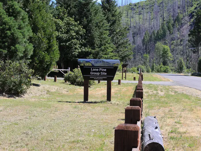
Overview THIS LOCATION IS AVAILABLE FOR INDIVIDUAL SITE RENTALS FOR THE SUMMER AND FALL OF THE 2026 SEASON. Reservations must be made 1-day prior to arrival Lone Pine Group Campground is adjacent to Rock Creek, a tributary of the North Umpqua River. Lone Pine is situated at the site of the old Rock Creek sawmill that once operated in the 1930s thru the 1950s. The campground is a short drive from the Umpqua National Forest, which boasts incredible glacier-cut mountain slopes across 984,602 acres of forest. The name, Umpqua, is a surviving term of the Native American Umpqua language, and is believed to mean "thundering waters," "across the waters" or "satisfied." Recreation Hiking picnicking and relaxing are the primary activities at the campground. In summer, swimming in the cool creek is a refreshing treat. In spring and fall, salmon and steelheads come upriver to spawn. To protect valuable native runs of salmon and steelhead, Rock Creek is closed to anglers. Instead, head to the North Umpqua River for abundant fishing opportunities. A drive along the Rogue-Umpqua Scenic Byway yields gorgeous views of mountain peaksforested canyons and alpine lakes. Facilities The campground is built on a loop with eleven separate sites. The volleyball court and horseshoe pits are currently under construction. Use of a pavilion and ballfield is allowed for campers and day-use recreationists parking in the overflow area across Rock Creek Road. Natural Features Lone Pine is on the western edge of the Cascade Mountains, set along Rock Creek, which eventually flows into the North Umpqua River. Lone Pine Campground was heavily affected by the Archie Creek Fire in 2020, creating significant differences from its previous condition. Nearby Attractions Visitors can get their adventure-fix with whitewater rafting/kayaking and angling in the North Umpqua River just five miles away. A trip to nearby Crater Lake National Park is another "can't miss" destination or visiting several of the waterfalls in the surrounding area.
From the managing agency.
Is Lone Pine Group Campground free?
No. Lone Pine Group Campground charges a fee.
How do I get to Lone Pine Group Campground?
Lone Pine Group Campground is at 43.3836, -122.9464. We do not hold written directions for this one, so navigate to the coordinates.
Nearby
SourceSource data is agency published. Last synced September 19, 2026. Community reports and photos are submitted by travelers and are not verified by the agency.
