
Millpond Recreation Site
BLM · Campground · Fee
Fast facts
- Cost
- Fee charged
- Managed by
- BLM
- Type
- Campground
- Phone
- 541-440-4930
- Nearest dump station
- Aspen Point Dump Station · 78.3 mi
- Coordinates
- 43.3804, -122.9481
- Last verified
- September 19, 2026



About this place
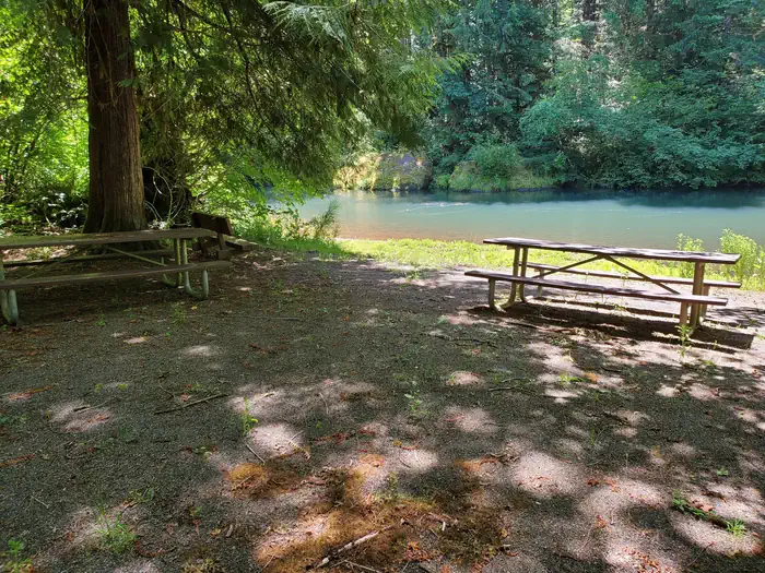
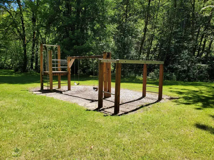
Overview THIS LOCATION IS CLOSED UNTIL FURTHER NOTICE DUE TO WILDFIRE DAMAGE. Nestled along the clear waters of Rock Creek, Millpond’s lush forest gives way to spacious grassy areas, great for day-use and running the kids and dogs. A children's play area, a large ball-field, interpretive panels, and swimming areas are all available at Millpond. There is a short nature trail on the west end of the campground and the mile-long Sawmill Trail to the east. In 1988 congress designated the North Umpqua River as a National Wild and Scenic River, preserving and protecting it for outdoor enthusiasts. The river is a tributary of the Umpqua River, which runs for over 200 miles from the Cascade Range of southwestern Oregon to the Pacific Ocean. Recreation Guests can play kickball, softball or other sports in the field that's on the other side of day use parking area. Adjacent to the pavilion are horseshoe pits and a playground to entertain young ones. From the pavilion, visitors can follow a 1-mile interpretive trail that passes through the site of an old lumber mill. Between the pavilion and campground there is a swimming hole for the whole family to enjoy with a beach, picninc tables, and grills. Facilities Loop campground with 12 campsites, drinking water, vault restrooms, and swimming area. Natural Features Millpond is just west of the Umpqua National Forest, in a lush region full of Douglas fir trees, western red cedar and sugar pines. The campground is in the foothills of the Cascade Mountains at an elevation of 1,170 feet. Nearby Attractions Visitors can get their adventure fix with kayaking and whitewater rafting and fishing in the North Umpqua River, just five miles away. The incredibly scenic 79-mile North Umpqua Trail is ideal for mountain biking and hiking. And for a family-friendly destination, the nearby Rock Creek Fish Hatchery allows visitors to view salmon and steelhead.
From the BLM.Official page
Is Millpond Recreation Site free?
No. Millpond Recreation Site charges a fee. It is managed by the BLM.
How do I get to Millpond Recreation Site?
Millpond Recreation Site is at 43.3804, -122.9481. We do not hold written directions for this one, so navigate to the coordinates.
Nearby
SourceData from the BLM. Last synced September 19, 2026. Community reports and photos are submitted by travelers and are not verified by the agency.
