
CLEATOR BEND
Campground · Fee not listed
Fast facts
- Cost
- Not listed. Check locally.
- Type
- Campground
- Phone
- 801-226-3564
- Coordinates
- 44.7780, -121.9994
- Last verified
- September 19, 2026
About this place
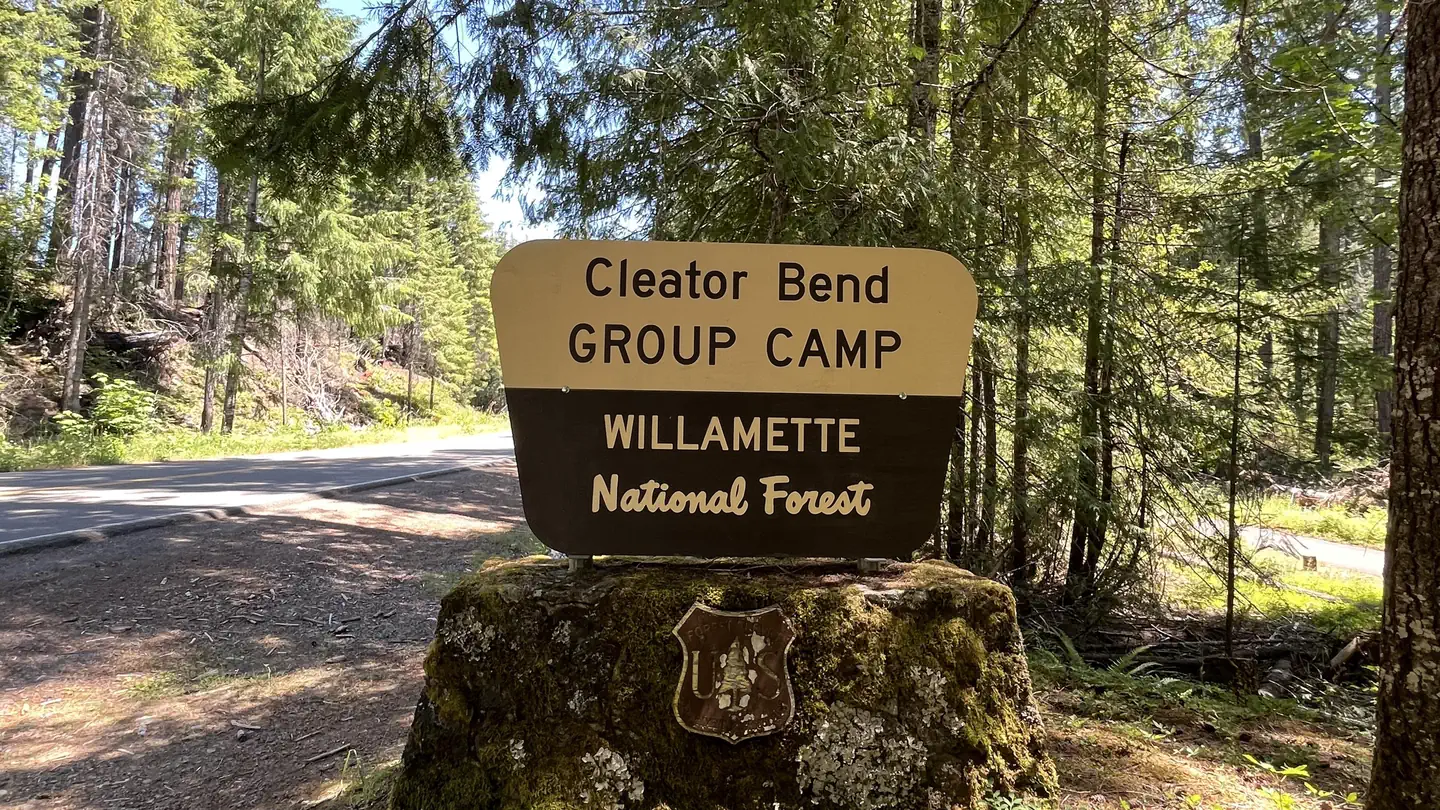
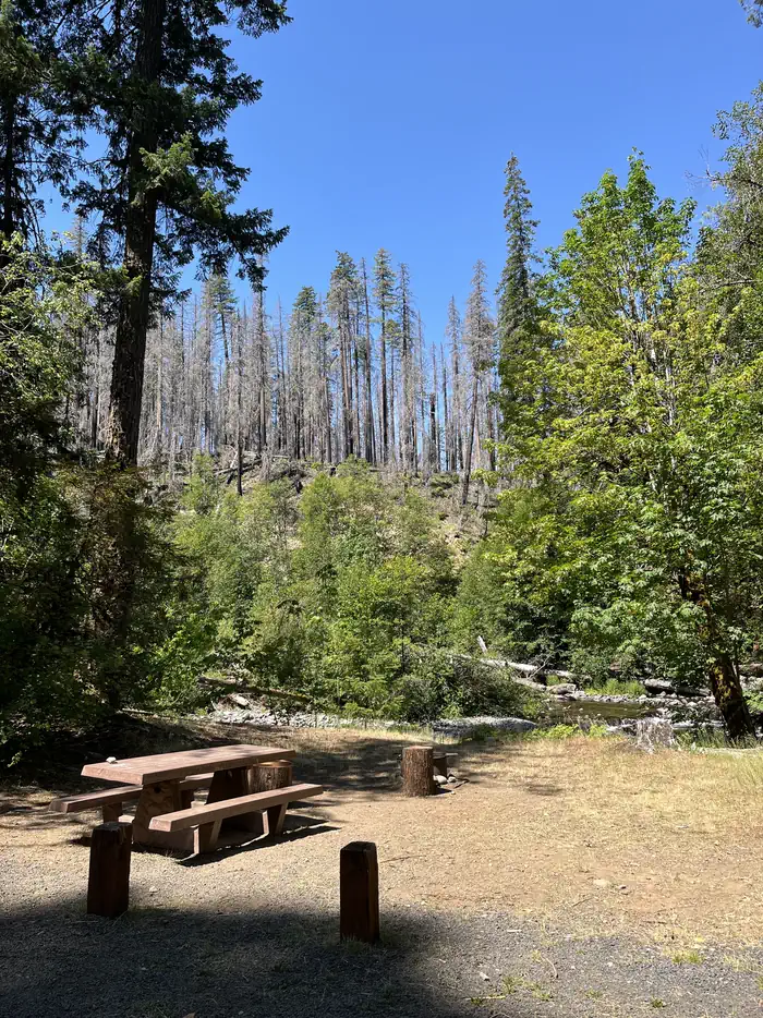
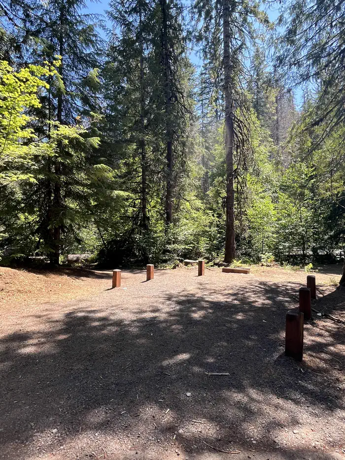
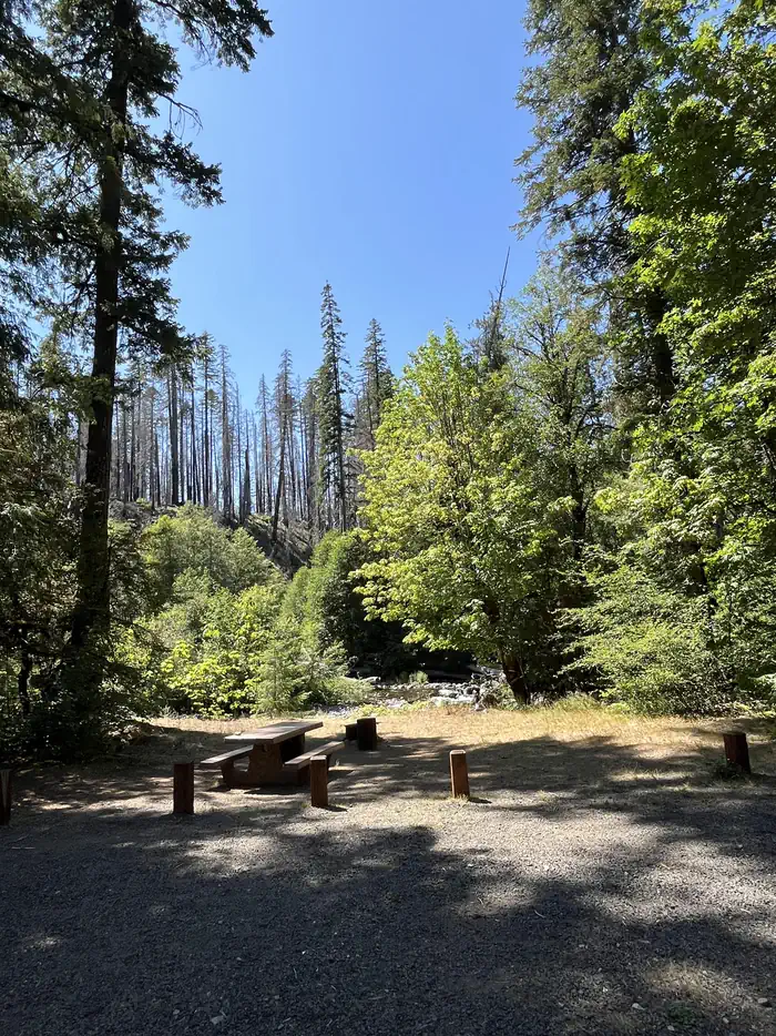
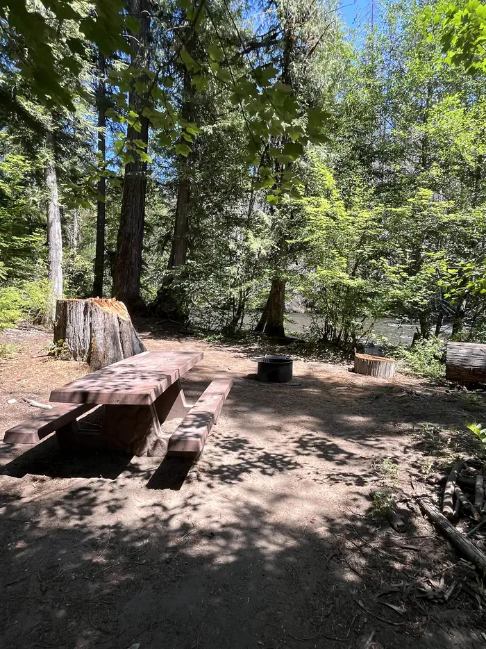
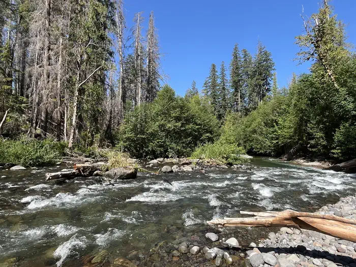
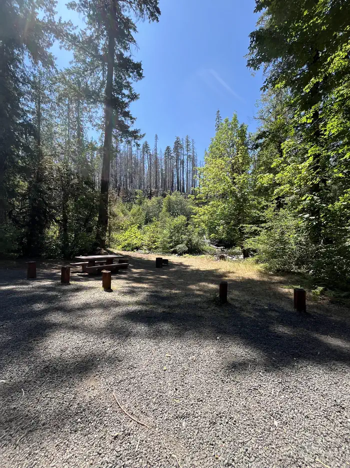
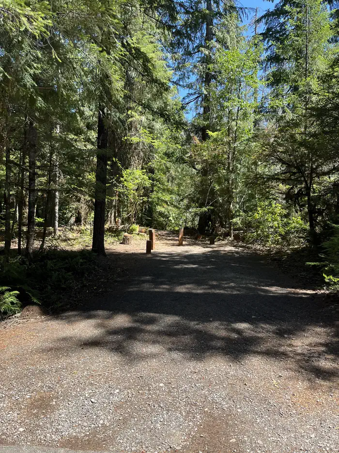
Overview Cleator Bend Group Campground, located on a bend of the Breitenbush River, is a popular destination for camping. The group area provides an ideal base camp for fishing, hiking, biking and more. There is 1 group site which can accommodate up to 45 people. Amenities include 8 campfire rings, 8 picnic tables, and 1 vault toilet. Drinking water is temporarily unavailable within campground. Trash receptacles are located in the campground. Campfires allowed until and unless otherwise posted. Fire bans are common during summer months. Please plan accordingly. Reservations for this site can be made up to 12 months in advance of arrival date by reserving online at RECREATION.GOV or by calling 877-444-6777. Recreation The river is a popular spot for wading, swimming and rainbow trout fishing. Facilities Cleator Bend is a group campground on the northern banks of the river. A vault toilet is located in the middle of the camping loop and drinking water is temporarily unavailable. Trash collection, campfire rings and picnic tables are provided. The capacity for the group site is 45 guests. Natural Features The Breitenbush River is a tributary of the North Santiam River. The clean waters flow from snow melt in the Mount Jefferson Wilderness. The campground lies in the Willamette National Forest, which stretches 110 miles along the western slopes of the Cascade Range. Nearby Attractions The South Breitenbush Gorge Trail is three miles from the campground. Here, hikers can view the river passing through basalt narrows. During the hike, look for a log footbridge that crosses Roaring Creek's cascading waters. Contact Info For facility specific information, please call (541) 967-3917.
From the managing agency.
Is CLEATOR BEND free?
We do not have a fee on record for CLEATOR BEND. Confirm the cost locally before you go.
How do I get to CLEATOR BEND?
CLEATOR BEND is at 44.7780, -121.9994. We do not hold written directions for this one, so navigate to the coordinates.
Nearby
- Cleator Bend Group Campground0.0 mi
- BREITENBUSH CAMPGROUND0.5 mi
- FOX CREEK GROUP CAMP2.5 mi
- Fox Creek Group Campground2.5 mi
- HUMBUG CAMPGROUND3.9 mi
- GOLD BUTTE LOOKOUT4.6 mi
- WHISPERING FALLS CAMPGROUND6.2 mi
- Elk Lake (OR)7.0 mi
No other services within 50 mi on the record.
SourceSource data is agency published. Last synced September 19, 2026. Community reports and photos are submitted by travelers and are not verified by the agency.
