
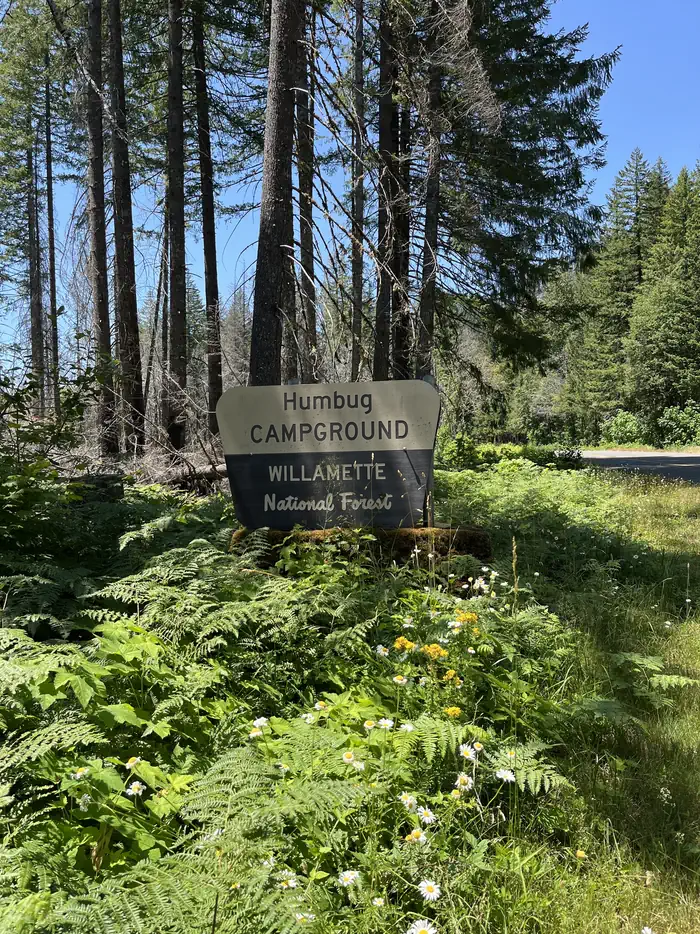
HUMBUG CAMPGROUND
Campground · Fee not listed
Fast facts
- Cost
- Not listed. Check locally.
- Type
- Campground
- Phone
- 503-854-3366
- Coordinates
- 44.7707, -122.0773
- Last verified
- September 19, 2026
About this place
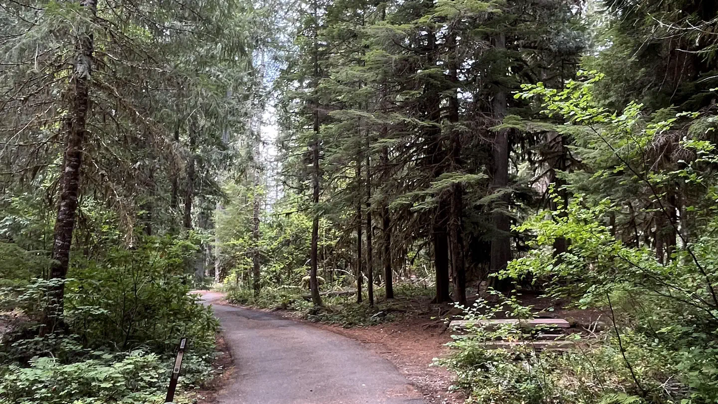
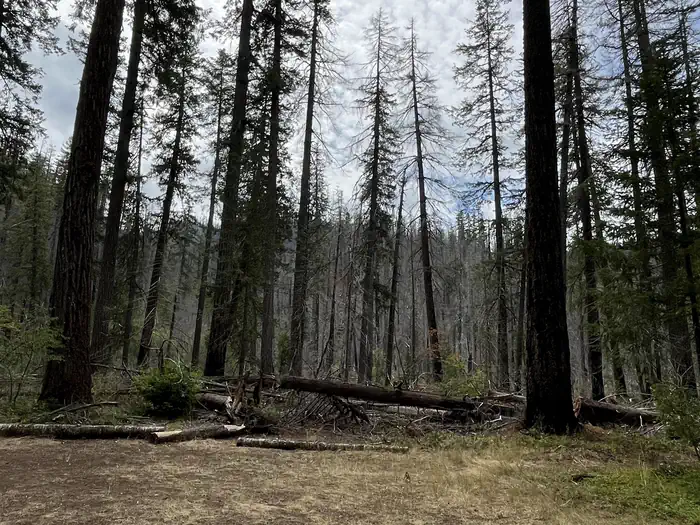
Recreation Wading and fishing are popular activities in the Breitenbush River, and rainbow trout is the most common catch for anglers. The Willamette National Forest has about 1,700 miles of trail. While many are in wilderness areas, a number of trails are low-elevation, easy-access trails for year-round hiking. Facilities Humbug Campground sites have picnic tables, grills and easy access to the vault toilets. Drinking water spigots are spread throughout the campground. Most campsites offer sweeping views of the river. Natural Features The campground lies in the Willamette National Forest, which stretches for 110 miles along the western slopes of the Cascade Range. The varied landscape of high mountains, narrow canyons, cascading streams and wooded slopes offer varied recreational opportunities for visitors. The Breitenbush River is a tributary of the North Santiam River, and its clean waters flow from short forks of snowmelt in the Mount Jefferson Wilderness. A variety of plants and foliage separate the spacious campsites and provide privacy from other sites. Nearby Attractions Detroit Lake has a marina and provides plenty of opportunity for water recreation like boating, water skiing and kayaking. Contact Info For facility specific information, please call (541) 967-3917.
From the managing agency.
Is HUMBUG CAMPGROUND free?
We do not have a fee on record for HUMBUG CAMPGROUND. Confirm the cost locally before you go.
How do I get to HUMBUG CAMPGROUND?
HUMBUG CAMPGROUND is at 44.7707, -122.0773. We do not hold written directions for this one, so navigate to the coordinates.
Nearby
- Fox Creek Group Campground1.6 mi
- FOX CREEK GROUP CAMP1.6 mi
- GOLD BUTTE LOOKOUT2.4 mi
- Humbug Campground3.5 mi
- Cleator Bend Group Campground3.9 mi
- CLEATOR BEND3.9 mi
- BREITENBUSH CAMPGROUND4.3 mi
- Elk Lake (OR)4.3 mi
No other services within 50 mi on the record.
SourceSource data is agency published. Last synced September 19, 2026. Community reports and photos are submitted by travelers and are not verified by the agency.
