
WHISPERING FALLS CAMPGROUND
USFS · Campground · Fee
Fast facts
- Cost
- Fee charged
- Managed by
- USFS
- Type
- Campground
- Hours
- Open 24 hours/day
- Reservations
- recreation.gov
- Phone
- 503-854-3366
- Coordinates
- 44.6878, -122.0094
- Last verified
- September 19, 2026
About this place
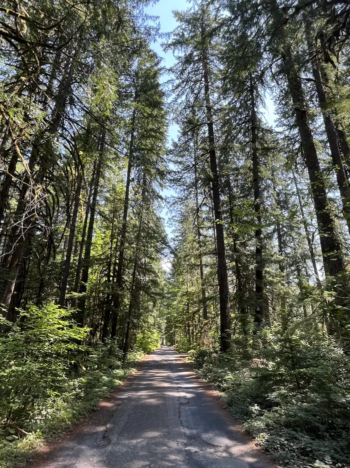
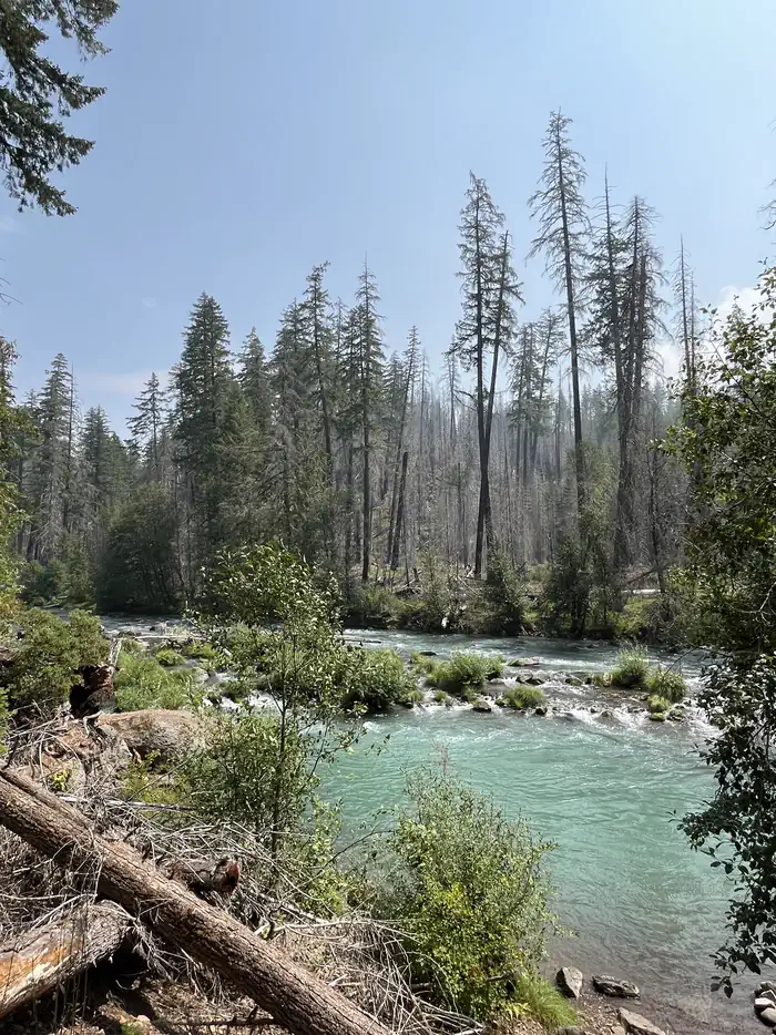
Overview Whispering Falls Campground is an excellent outdoor retreat designed for campers more interested in a remote experience. Guests are greeted with grand, mature cedars and Douglas fir trees as they drive into the campground. Campfires allowed until and unless otherwise posted. Fire bans are common during summer months. Please plan accordingly. The Coffin Mountain Trail Area is located nearby, with splendid trails to explore like the Coffin Lookout and Bugaboo Ridge Trails. Scan and Pay might be offered at this campground; It is recommended that you pay by cash or check for FCFS campsites. There are no refunds, modifications, cancellations, or other fee changes allowed with "FCFS" payments. This system is the same as putting cash into a fee tube and cannot be refunded. Please download the Rec.Gov app prior to arriving at the campground as there may be no cellular service or very limited service at the campground. If no Scan & Pay option is available you must pay via cash or check. Recreation Anglers enjoy fishing for rainbow trout on the river. Among the many options for hiking and biking trails, the Mt. Jefferson-Pamelia Lake Trail Area is bound to please all types. Hikers looking for a challenging trail will enjoy the Minto Mountain Trail. Facilities This campground has 15 sites, 9 of which are reservable. Sites have picnic tables, grills and easy access to the vault toilets. Drinking water spigots are spread throughout the campground. Most campsites offer views of the river. No Overflow Parking & No Day Use Parking. Natural Features Whispering Falls is located along the North Santiam River at an elevation of 2,000 feet. Surrounding vegetation includes hemlock, rhododendron and fern, among the towering conifers. The campground is in the North Santiam Travel Corridor of the Willamette National Forest. The forest covers 1.6 million acres on the western slopes of the Cascade Range. Contact Info For facility specific information, please call (541) 967-3917. Nearby Attractions Detroit Lake provides plenty of opportunity for water recreation like boating, water skiing and kayaking. The Marion Forks Fish Hatchery down the highway, along Marion and Horn Creeks, is an interesting place to visit. Here, visitors can see rainbow trout, summer steelhead and spring chinook being harvested.
From the USFS.Official page
Is WHISPERING FALLS CAMPGROUND free?
No. WHISPERING FALLS CAMPGROUND charges a fee. It is managed by the USFS. Sites are reservable through recreation.gov.
How do I get to WHISPERING FALLS CAMPGROUND?
From Detroit, follow Highway 22 southeast for 8.3 miles to Whispering Falls Campground on the right.
What are the rules at WHISPERING FALLS CAMPGROUND?
14 day limitCheck-in time: 2:00 pm or later. Check-out time: 1:00 pmUse of chainsaws in the campground is prohibitedDogs MUST be on leash at all times within the campground ; Maximum trailer length 30 feet
Nearby
- Riverside Campground4.4 mi
- RIVERSIDE AT DETROIT (Willamette National Forest, OR)4.4 mi
- SANTIAM FLATS CAMPGROUND5.5 mi
- HOOVER CAMPGROUND5.9 mi
- Hoover Group Site5.9 mi
- CLEATOR BEND6.2 mi
- Cleator Bend Group Campground6.2 mi
- Marion Forks Campground6.3 mi
No other services within 50 mi on the record.
SourceData from the USFS. Last synced September 19, 2026. Community reports and photos are submitted by travelers and are not verified by the agency.
