
DOWNSTREAM POINT
Campground · Fee not listed
Fast facts
- Cost
- Not listed. Check locally.
- Type
- Campground
- Phone
- 620-328-2050
- Coordinates
- 37.2694, -95.4583
- Last verified
- September 19, 2026
About this place
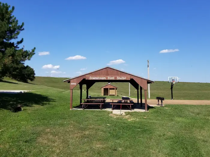
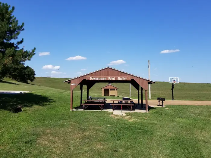
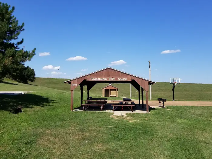
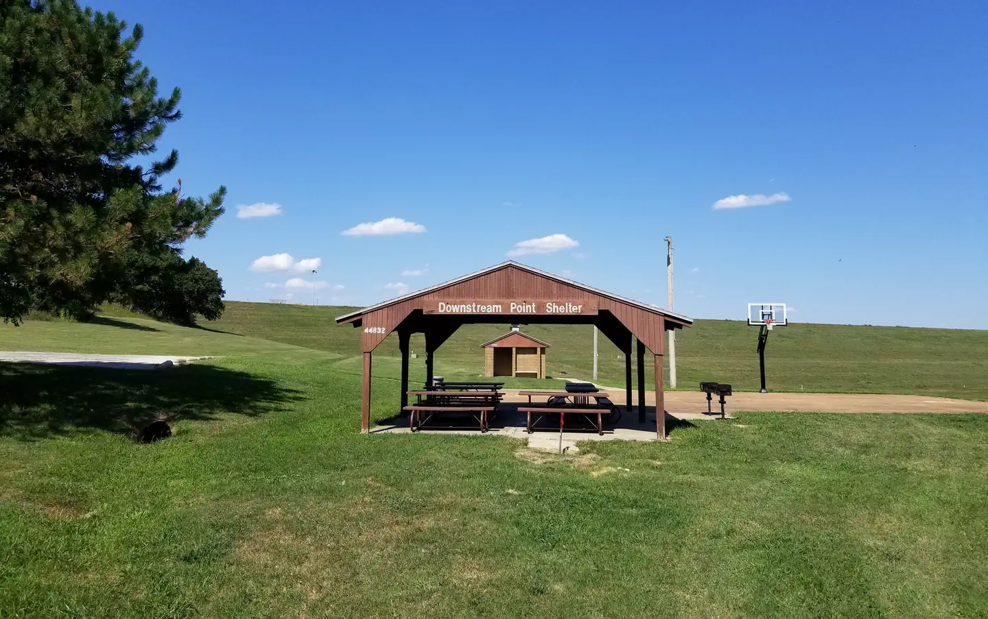
Overview Downstream Point is located on the crystal clear Big Hill Lake in southeast Kansas. The lake boasts three campgrounds, three equestrian trails and four day-use areas for the public to enjoy. Picnicking, horseback riding, hiking, swimming, fishing and other outdoor activities abound. Recreation Downstream Point is mostly used as a group picnic area. The facility has basketball courts and is located by the outlet channel. After picnicking, visitors can venture onto several hiking and equestrian trails nearby including Big Hill Lake Horse Trail, a 17-mile trail with a variety of terrain for all ages to explore, and the Ruth Nixon Trail, named after an early supporter of the lake, which is @ 1 mile long and winds along the western side of the lake. Big Hill Lake is known for being a trophy lake for fishing. Principal species of sport fish include largemouth bass, crappie, channel and flathead catfish, bluegill, walleye and smallmouth bass. The lake is also popular for fishing tournaments. Almost all of the land around the lake is open to public hunting, except for parks and areas around the dam and control structures. Principal species hunted are whitetail deer, turkey and squirrel. Families with kids can cool off during summer heat at a sand-covered beach at nearby Mound Valley Park. Facilities This facility provides a reservable group picnic shelter that can accommodate up to 100 people. The shelter is within walking distance of the lake and provides shade in an otherwise sunny area. Natural Features The park is nestled in the rolling, wooded countryside that is referred to as the Little Ozarks. With thick oak-hickory forests surrounded by prairie and farmland, the lake shore supplies a variety of habitats for birds and mammals. Contact Info This location has limited staffing. Please call (620) 336-2741 for general information.
From the managing agency.
Is DOWNSTREAM POINT free?
We do not have a fee on record for DOWNSTREAM POINT. Confirm the cost locally before you go.
How do I get to DOWNSTREAM POINT?
DOWNSTREAM POINT is at 37.2694, -95.4583. We do not hold written directions for this one, so navigate to the coordinates.
Nearby
- OVERLOOK (KS)0.0 mi
- CHERRYVALE PARK0.0 mi
- MOUND VALLEY0.0 mi
- Timber Hill Park1.9 mi
- WASHINGTON COVE36.4 mi
- COPAN POINT37.8 mi
- POST OAK PARK38.2 mi
- DAMSITE - FALL RIVER LAKE42.4 mi
No other services within 50 mi on the record.
SourceSource data is agency published. Last synced September 19, 2026. Community reports and photos are submitted by travelers and are not verified by the agency.
