
DAMSITE - FALL RIVER LAKE
Campground · Fee not listed
Fast facts
- Cost
- Not listed. Check locally.
- Type
- Campground
- Coordinates
- 37.6449, -96.0693
- Last verified
- September 19, 2026
About this place
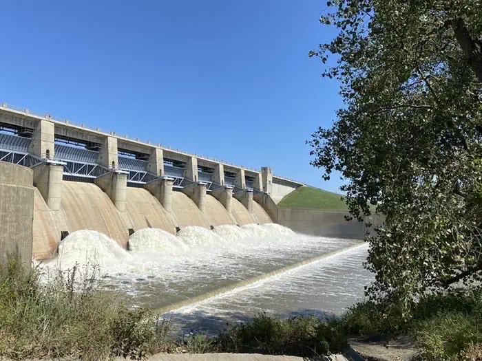
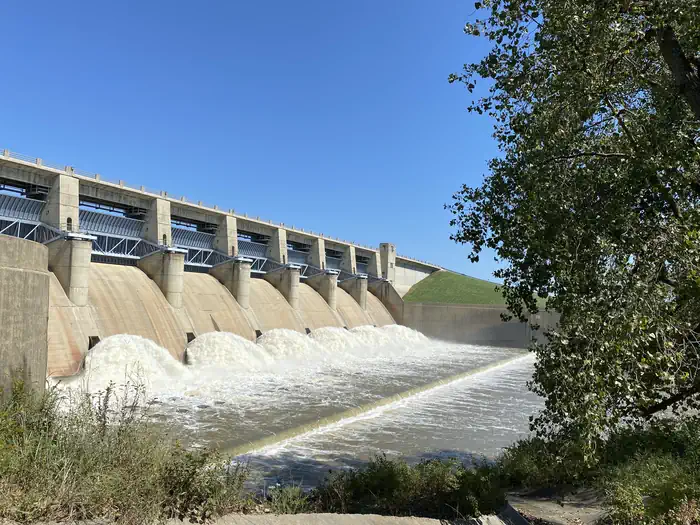
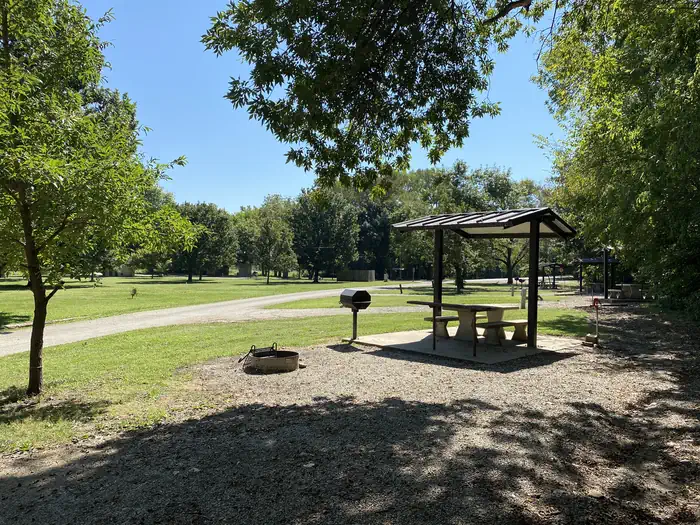
Overview Fall River Dam is located on Fall River, a tributary of the Verdigris River, in Greenwood County, Kansas. Opportunities for outdoor family fun and recreation include swimming, boating, water skiing, camping, picnicking and sightseeing. Recreation Fall River and Lake provide visitors with endless boating, water skiing, jet skiing and swimming opportunities. Anglers will find white bass, bluegill, crappie, green sunfish and channel catfish, to be plentiful. For birdwatchers and nature lovers, there is an 8,000 acre public wildlife area, where prairie chickens, waterfowl of all kinds, rabbits, wild turkeys, white tail deer, doves and quail are commonly seen. Facilities This campground straddles Fall River below the spillway. There are 13 rentable sites. 2 sites with 50 amp and water and 6 sites with 30 amp and water. There are 5 sites with water only. Additional amenities include vault toilets, drinking water, and a playground. Natural Features Rolling prairies and tree-dotted valleys sheltered by limestone-capped ridges surround Fall Lake. The lake is about a mile wide at the damsite and stretches up the picturesque Fall River for 15 miles. This scenic area has a wealth of native wildlife and vegetation. Nearby Attractions Fall River State Park is nearby, offering great fishing and birding along the river. Canoeing is also a popular activity in the park.
From the managing agency.
Is DAMSITE - FALL RIVER LAKE free?
We do not have a fee on record for DAMSITE - FALL RIVER LAKE. Confirm the cost locally before you go.
How do I get to DAMSITE - FALL RIVER LAKE?
DAMSITE - FALL RIVER LAKE is at 37.6449, -96.0693. We do not hold written directions for this one, so navigate to the coordinates.
Nearby
- WHITEHALL BAY1.5 mi
- Timber Hill Park41.8 mi
- MOUND VALLEY42.4 mi
- OVERLOOK (KS)42.4 mi
- CHERRYVALE PARK42.4 mi
- DOWNSTREAM POINT42.4 mi
- RIVERSIDE WEST43.6 mi
- RIVERSIDE EAST44.2 mi
No other services within 50 mi on the record.
SourceSource data is agency published. Last synced September 19, 2026. Community reports and photos are submitted by travelers and are not verified by the agency.
