
COPAN POINT
Campground · Fee not listed
Fast facts
- Cost
- Not listed. Check locally.
- Type
- Campground
- Phone
- 918-532-4334
- Coordinates
- 36.8927, -95.9542
- Last verified
- September 19, 2026
About this place
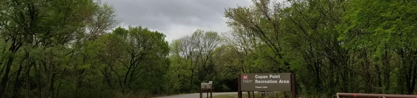
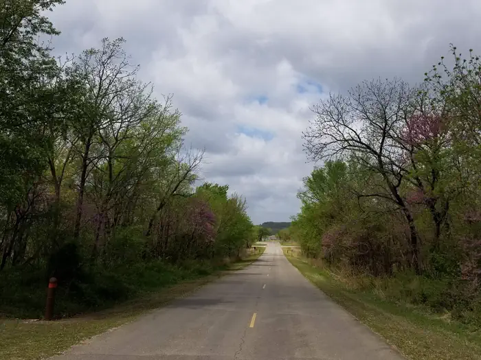
Overview Copan Point is a day-use area located on the banks of Copan Lake in Oklahoma's Green Country. Camping, boating, picnicking and fishing are popular activities here. Recreation Copan Lake offers its visitors extensive opportunities for a memorable outdoor recreation experience. The lake is home to many species of game fish, including largemouth bass, white crappie, channel and flathead catfish, and various species of sunfish. Hikers and horseback riders enjoy exploring the area on a 3 mile trail that winds through the wooded and open meadows of the lake shore. 11,000 acres of land around the lake have been set aside for wildlife management. These lands are open for public hunting of deer, waterfowl, bobwhite quail, turkey, cottontail rabbit and squirrel. Facilities This day-use area offers one group picnic shelter that can accommodate up to 45 people. Amenities include flush and pit toilets, drinking water, and picnic sites with utility tables, grills and fire pits. A boat ramp with a courtesy dock, seperate fishing dock and a swimming beach with a volleyball court are also within the park. Natural Features The 4,850-acre lake sits on the Little Caney River among a prairie landscape of grasslands and croplands.
From the managing agency.
Is COPAN POINT free?
We do not have a fee on record for COPAN POINT. Confirm the cost locally before you go.
How do I get to COPAN POINT?
COPAN POINT is at 36.8927, -95.9542. We do not hold written directions for this one, so navigate to the coordinates.
Nearby
- POST OAK PARK0.9 mi
- WASHINGTON COVE1.4 mi
- TWIN COVE POINT27.0 mi
- BIRCH COVE27.3 mi
- SPENCER CREEK34.2 mi
- HAWTHORN BLUFF35.2 mi
- BLUE CREEK36.4 mi
- CHERRYVALE PARK37.8 mi
No other services within 50 mi on the record.
SourceSource data is agency published. Last synced September 19, 2026. Community reports and photos are submitted by travelers and are not verified by the agency.
