
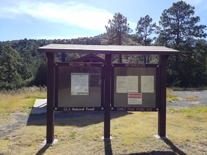
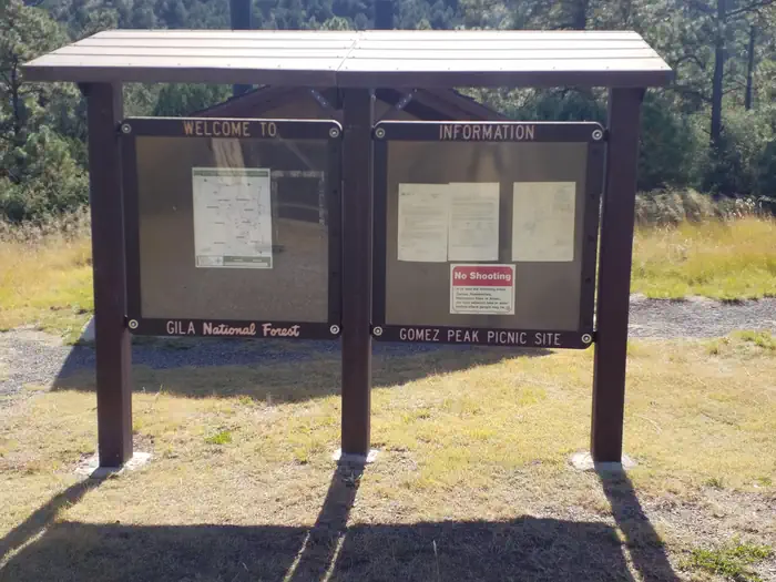
Gomez Peak (Group Picnic Site)
Campground · Fee
Fast facts
- Cost
- Fee charged
- Type
- Campground
- Phone
- 575-388-8201
- Nearest dump station
- Big Lake Dump Station Dump Station · 96.4 mi
- Coordinates
- 32.8493, -108.2774
- Last verified
- September 19, 2026
About this place
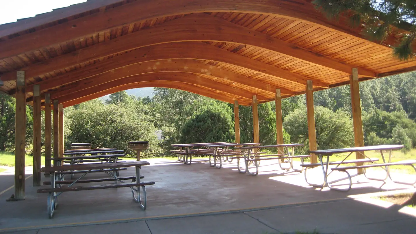
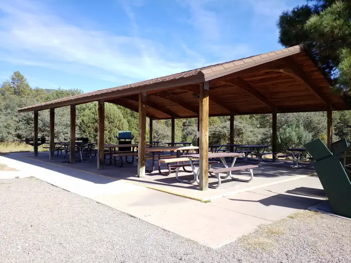
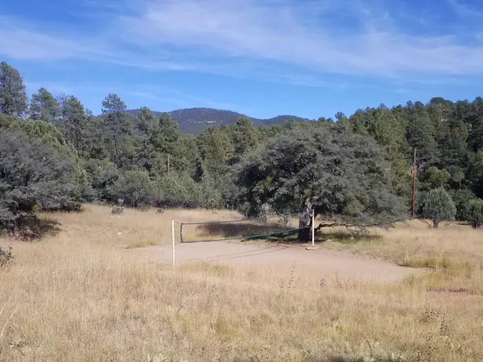
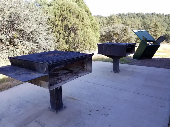
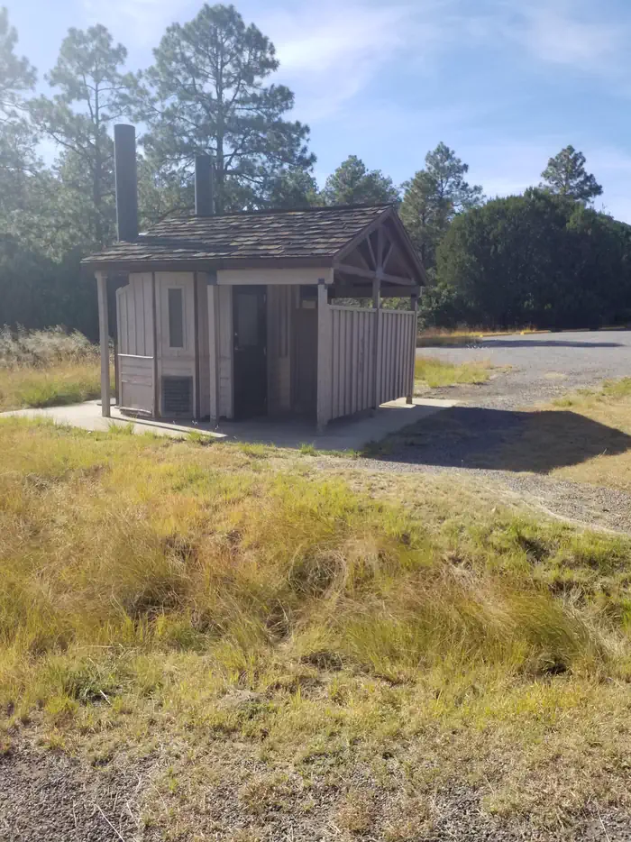
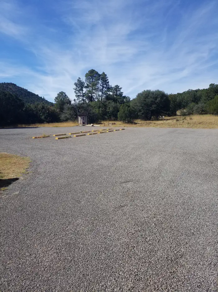
Overview The Gomez Peak Large Group Area, just south of the main grounds, will accommodate up to 200 people, with parking for up to 50 vehicles. Facilities include large covered pavilion, 12 tables (seating for up to 96 people), pedestal BBQ grills, vault toilets, trash cans, volleyball and horseshoe pits. As with all Little Walnut day use areas, no firewood is available. Plan to bring charcoal or wood for cooking as needed. Pets permitted on a leash only (remember to clean up after your pet). No horses allowed in the picnic grounds. Potable drinking water is available at the site. Recreation The popular Gomez Peak/Little Walnut Trail System can be accessed from the Gomez Peak Pavillion. Numerous loops of trails can be hiked from this location and is a popular attraction for mountain bikers and hikers alike. Facilities The Gomez Peak Group Use Area, just south of the main grounds, can accommodate up to 200 people, with parking for 50 vehicles. Facilities include covered pavilion with 12 tables (seating for up to 96 people, handicap accessible area), 2 large pedestal grills, vault toilets, trash cans, volleyball sand court & poles, and horseshoe pits. No firewood available. Natural Features The Gomez Peak Pavilion offers views of Gomez Peak and Eighty Mountain, and is surrounded by a Ponderosa and Pinyon-Juniper landscape. Deer, squirrels and a variety of birds can often be seen at the site. Nearby Attractions
From the managing agency.
Is Gomez Peak (Group Picnic Site) free?
No. Gomez Peak (Group Picnic Site) charges a fee.
How do I get to Gomez Peak (Group Picnic Site)?
Gomez Peak (Group Picnic Site) is at 32.8493, -108.2774. We do not hold written directions for this one, so navigate to the coordinates.
Nearby
SourceSource data is agency published. Last synced September 19, 2026. Community reports and photos are submitted by travelers and are not verified by the agency.
