
SURRY MOUNTAIN LAKE BEACH
Campground · Fee not listed
Fast facts
- Cost
- Not listed. Check locally.
- Type
- Campground
- Phone
- 603-352-4130
- Coordinates
- 43.0022, -72.3228
- Last verified
- September 19, 2026

About this place
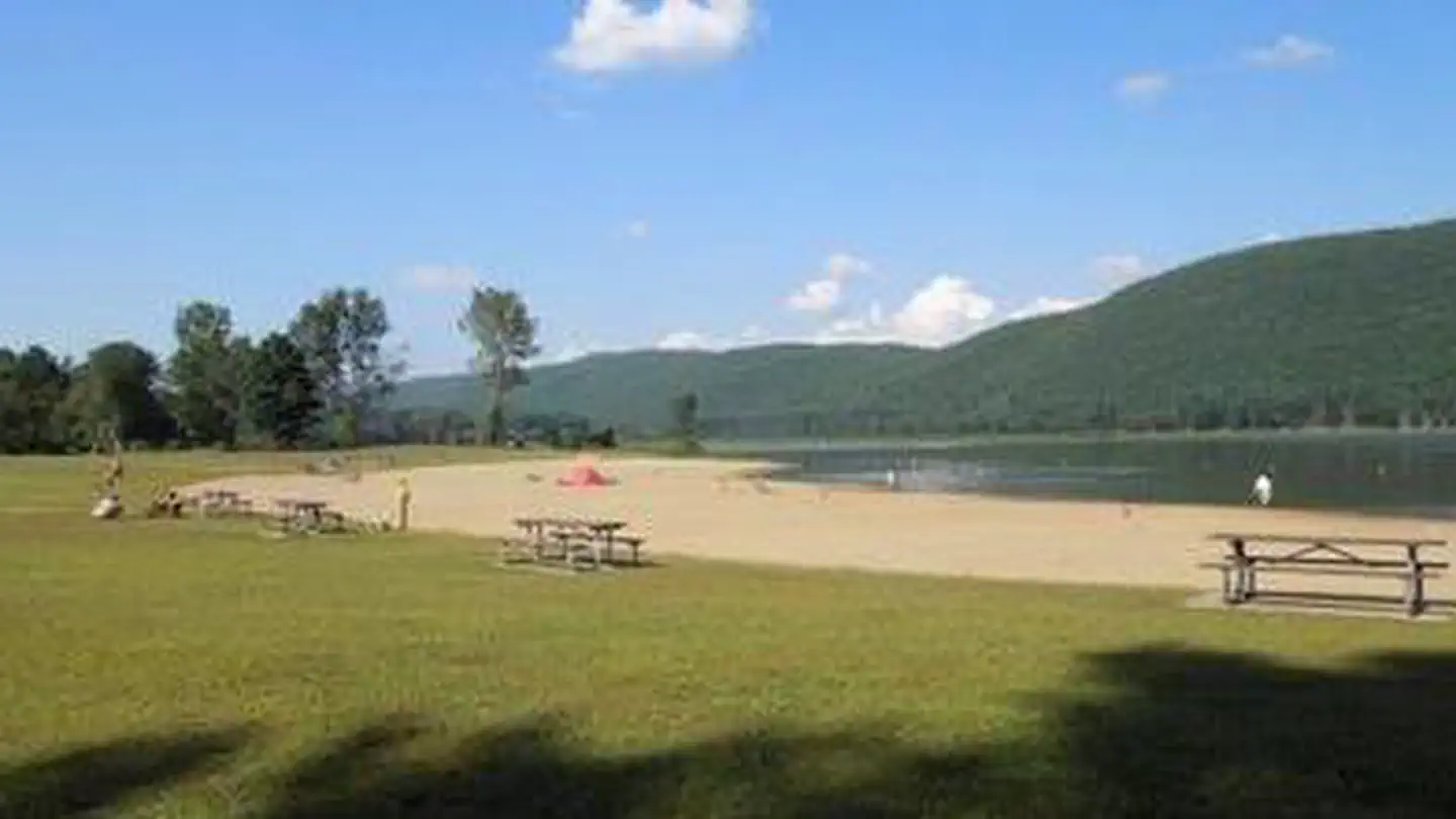
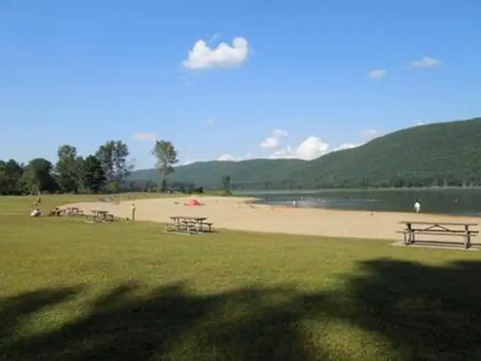
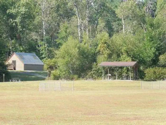
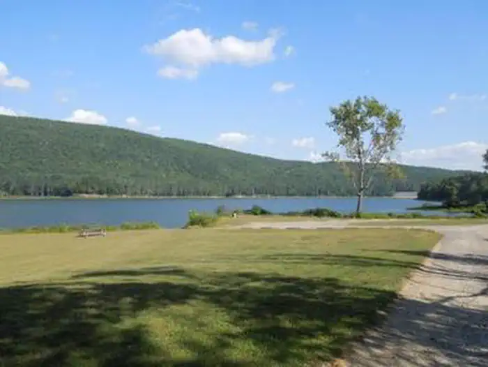
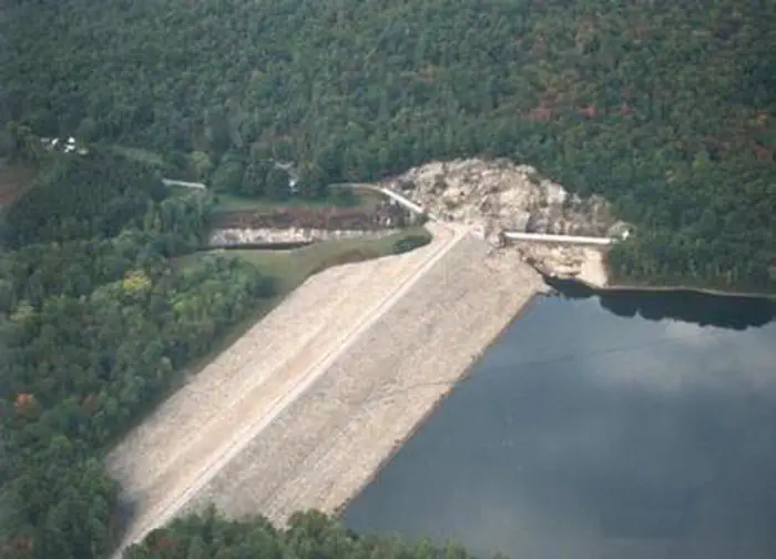
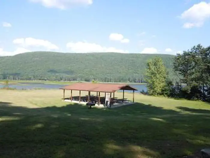
Overview Surry Mountain Lake Beach is a U.S. Army Corps of Engineers day use facility located on the Ashuelot River in Surry, New Hampshire. Recreation Swimming, sunbathing, picnicking, paddling and fishing are just a few of the favorite activities enjoyed at Surry Mountain Lake Beach. A boat ramp is available for small boats, kayaks and canoes. There are picnic tables and grills located throughout the park, as well as a playground. Facilities Surry Mountain Lake Beach has restrooms with flush toilets. There is a large sandy beach and swim area. Three picnic shelters are available in the park. Picnic tables, grills a boat ramp and a playground are located in the park. Natural Features Surry Mountain Lake Beach provides a large sandy beach on the river and open grassy areas, with views of Surry Mountain. Charges & Cancellations If a customer cancels a group day use facility reservation within the 14 days of scheduled arrival date they will forfeit the total fee. A $10.00 service fee will apply if you change or cancel your reservation outside of the 14 day scheduled arrival. The $10.00 service fee will be deducted from the refund amount.
From the managing agency.
Is SURRY MOUNTAIN LAKE BEACH free?
We do not have a fee on record for SURRY MOUNTAIN LAKE BEACH. Confirm the cost locally before you go.
How do I get to SURRY MOUNTAIN LAKE BEACH?
SURRY MOUNTAIN LAKE BEACH is at 43.0022, -72.3228. We do not hold written directions for this one, so navigate to the coordinates.
Nearby
- Surry Mountain Lake Campground0.4 mi
- Otter Brook Lake Recreation Area5.3 mi
- Edward MacDowell Lake Day Use Facilities18.7 mi
- Townshend Lake Recreation Area19.8 mi
- TULLY LAKE RECREATION AREA (MA)25.3 mi
- Winhall Brook Camping Area27.1 mi
- Stoughton Pond Rec Area27.7 mi
- Grout Pond Campground32.1 mi
No other services within 50 mi on the record.
SourceSource data is agency published. Last synced September 19, 2026. Community reports and photos are submitted by travelers and are not verified by the agency.
