
Grout Pond Campground
USFS · Campground · Fee
Fast facts
- Cost
- Fee charged
- Managed by
- USFS
- Type
- Campground
- Hours
- Check in: 2:00 p.m.; Check-out: 12:00 p.m.; Quiet hours are 10:00 p.m. until 6:00 a.m.
- Reservations
- fs.usda.gov
- Phone
- 802-362-2307
- Coordinates
- 43.0455, -72.9546
- Last verified
- September 19, 2026
About this place
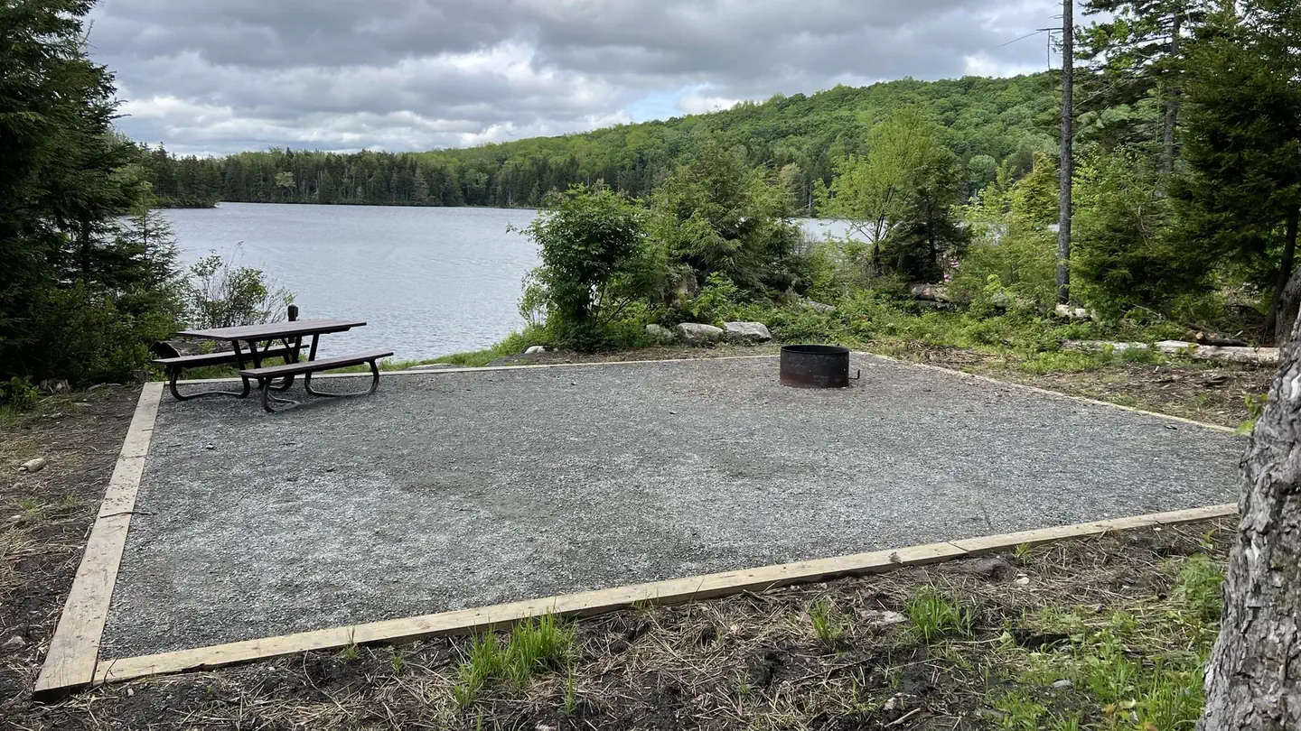
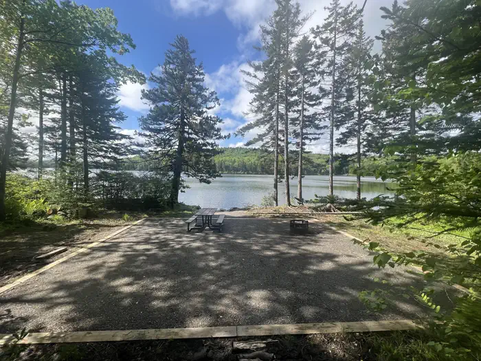
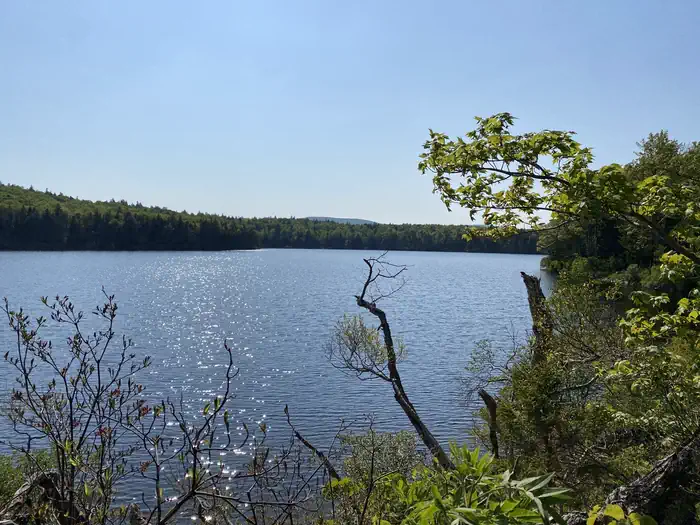
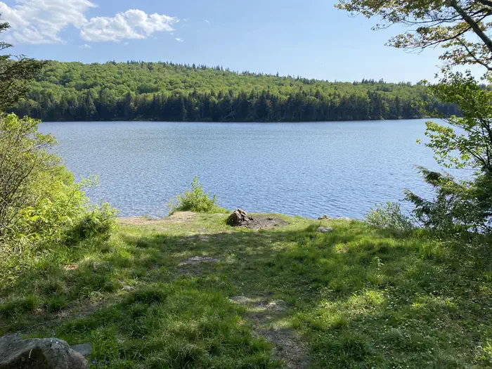
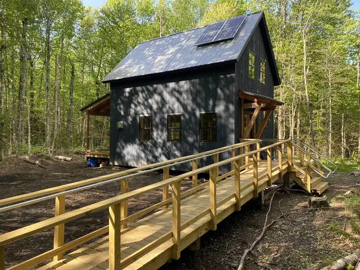
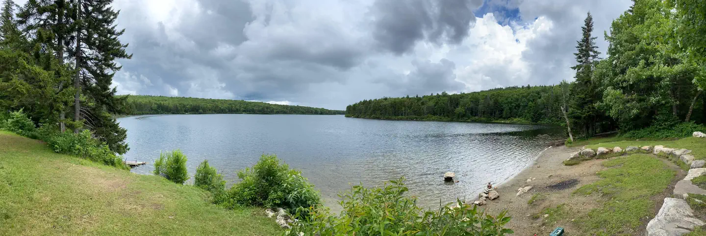
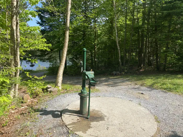
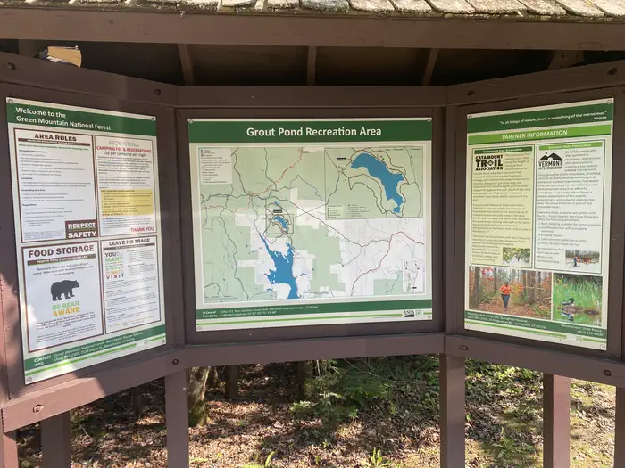
Overview Grout Pond is a popular destination for camping, hiking, paddling, and fishing. Located in a beautiful mixed conifer and hardwood forest, the campground has 12 reservable sites and offers easy access to over 10 miles of mulituse trails. The Green Mountain National Forest in partnership with the Vermont Huts Association has a cabin located at the Grout Pond Campground available for reservations. The Grout Pond Hut (pictured above) is open for year-round use and is located within the semi-remote campground on the Green Mountain National Forest. To make reservations and learn more please visit the Grout Pond Hut website: Grout Pond Hut Recreation Grout Pond offers a variety of recreation opportunities year-round. In the warmer months, fishing and non-motorized boating is popular on the pond. A 200-foot carry-in boat launch is accessible from an unloading pull-out just before the parking lot. Please help prevent the spread of non-native invasive species, such as Eurasian watermilfoil, by cleaning and drying your boat between each use. Hiking is another popular activity at Grout Pond. Over 10 miles of relatively flat trails are accessible from the campground. These trails connect with a more extensive system off National Forest lands around Somerset Reservoir to the south. Trails that are marked with blue diamond blazes are designed for cross-country skiing and can be very wet and muddy in the spring, summer, and even fall. Facilities The campground offers 12 overnight sites available for reservation. Nine of these sites are tent sites accessed by hiking in from the main parking area. Hike-in distances vary from a quarter to three-quarters of a mile. Three campsites are drive-in sites that accomodate small RVs. The campground also offers two drive-in sites that are available on a first-come, first-served basis and cannot be reserved. All campsites are outfitted with fire rings and several have picnic tables. Hike-in sites have tent pads; please use the tent pads in order to minimize camping impacts. Vault toilets are located off the main parking area and near the old cabin building. Potable water is available from an old-fashioned hand pump in the day use area near the pond. Natural Features Grout Pond is 84 acres and 28 feet deep. The water can be chilly but refreshing on a hot summer day. The campground is located along the pond and is shaded by red maple, yellow birch and red spruce. Fall foliage viewing in the autumn months is excellent. Nearby Attractions Nearby attractions include hiking trails accessible from the site and paddling on the pond. The campground is also in close proximity to Appalachian/Long Trail trailheads off Kelly Stand Road and Stratton Mountain Resort and Village.
From the USFS.
Is Grout Pond Campground free?
No. Grout Pond Campground charges a fee. It is managed by the USFS. Sites are reservable through fs.usda.gov.
How do I get to Grout Pond Campground?
207 Grout Pond Road, Stratton, VT 05360
Nearby
- Story Spring Shelter3.0 mi
- Stratton Pond Recreation Area3.8 mi
- Stratton View Shelter & Tent Area4.3 mi
- Kid Gore Shelter5.0 mi
- Somerset Airfield6.6 mi
- Douglas Trail Shelter7.1 mi
- Goddard Shelter7.8 mi
- Spruce Peak Shelter9.4 mi
No other services within 50 mi on the record.
SourceData from the USFS. Last synced September 19, 2026. Community reports and photos are submitted by travelers and are not verified by the agency.
