
WATAUGA POINT RECREATION AREA
Campground · Fee not listed
Fast facts
- Cost
- Not listed. Check locally.
- Type
- Campground
- Phone
- 423-735-1500
- Nearest dump station
- Cosby RV Sanitary Station · 74.0 mi
- Coordinates
- 36.3208, -82.0856
- Last verified
- September 19, 2026

About this place
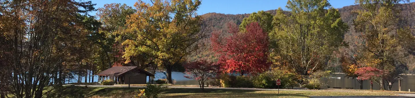
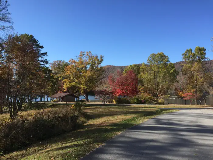
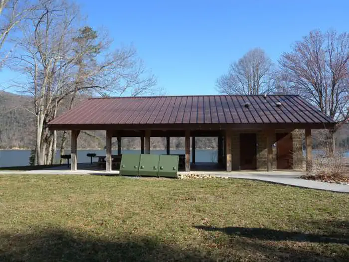
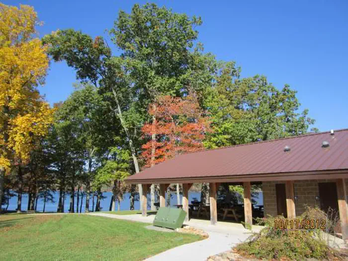
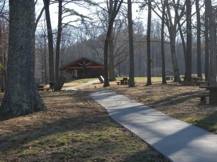
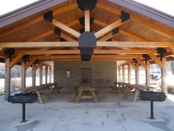
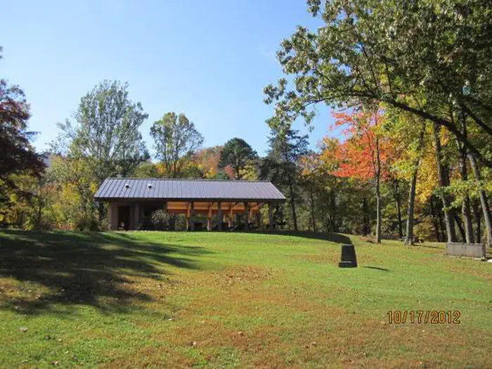
Overview Watauga Point Recreation Area is open for the 2026 season. Watauga Point Recreation Area is located on the southern shore of Watauga Lake in Carter County. Large shade trees scattered throughout grassy areas provide a park setting for picnicking and sunbathing. In addition to picnic facilities, there is a lake and a gravel trail that loops through the nearby forest. Recreation Boaters, anglers, and picnickers all enjoy Watauga Point. There is a wooded trail on site as well. Facilities Watauga Point Recreation Area has one pavilion with electricity, a shady area, accessible flush toilets, and several other picnic tables and pedestal grills spread throughout. There are six picnic tables and two large grills at the pavilion. The shady area has five picnic tables and two grills. The pavilion and shady area are both reservable. Please make sure you are reserving the right thing (either the pavilion or the shady area) when making your reservation. Natural Features At more than 1,900 feet in elevation, Watauga is the highest reservoir in Tennessee. This scenic 6,400-acre reservoir is managed for flood management, power generation, aquatic ecology and recreation. Watauga Point overlooks the reservoir and the Big Laurel Branch Wilderness Area on the opposite shore. Nearby Attractions Both water-based and land-based recreation activities abound near Watauga Point Recreation Area. Forest Service facilities within three miles include Cardens Bluff Campground, Rat Branch Boat Ramp, and Pond Mountain Shooting Range. Contact Info This location is unstaffed. To speak with our main office for general information, please call: (423) 735-1500.
From the managing agency.
Is WATAUGA POINT RECREATION AREA free?
We do not have a fee on record for WATAUGA POINT RECREATION AREA. Confirm the cost locally before you go.
How do I get to WATAUGA POINT RECREATION AREA?
WATAUGA POINT RECREATION AREA is at 36.3208, -82.0856. We do not hold written directions for this one, so navigate to the coordinates.
Nearby
- CARDENS BLUFF CAMPGROUND1.8 mi
- DENNIS COVE CAMPGROUND4.6 mi
- THE LAURELS PICNIC AREA PAVILIONS11.3 mi
- LITTLE OAK CAMPGROUND13.8 mi
- Jacobs Creek Campground (TN)17.3 mi
- Jacobs Creek Campground17.5 mi
- Rock Creek Recreation Area (Cherokee National Forest, TN)19.3 mi
- Rock Creek Campground19.4 mi
- Cosby RV Sanitary Station74.0 mi
SourceSource data is agency published. Last synced September 19, 2026. Community reports and photos are submitted by travelers and are not verified by the agency.
