
RATTLER FORD GROUP CAMPGROUND
Campground · Fee not listed
Fast facts
- Cost
- Not listed. Check locally.
- Type
- Campground
- Phone
- 828-479-6431
- Nearest dump station
- North River Checking Station · 12.3 mi
- Coordinates
- 35.3606, -83.9156
- Last verified
- September 19, 2026
About this place
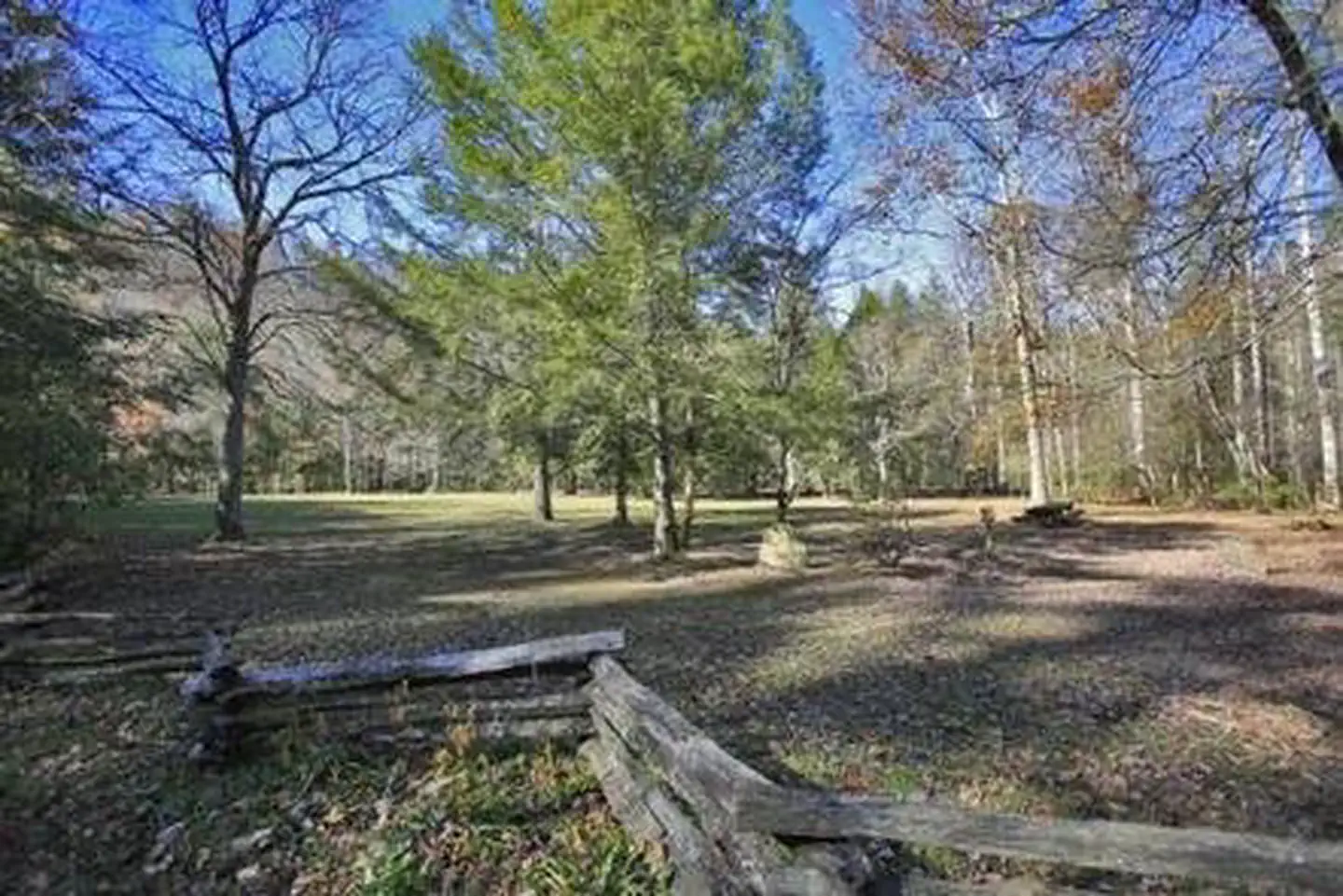
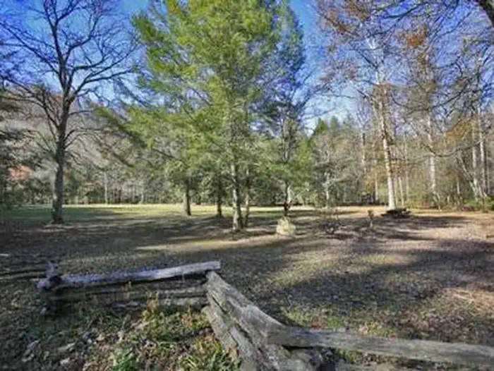
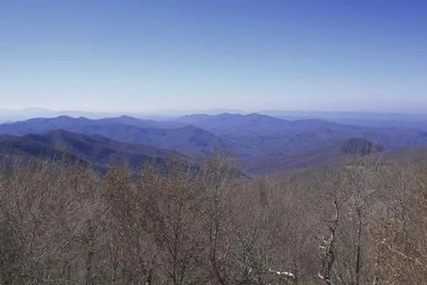
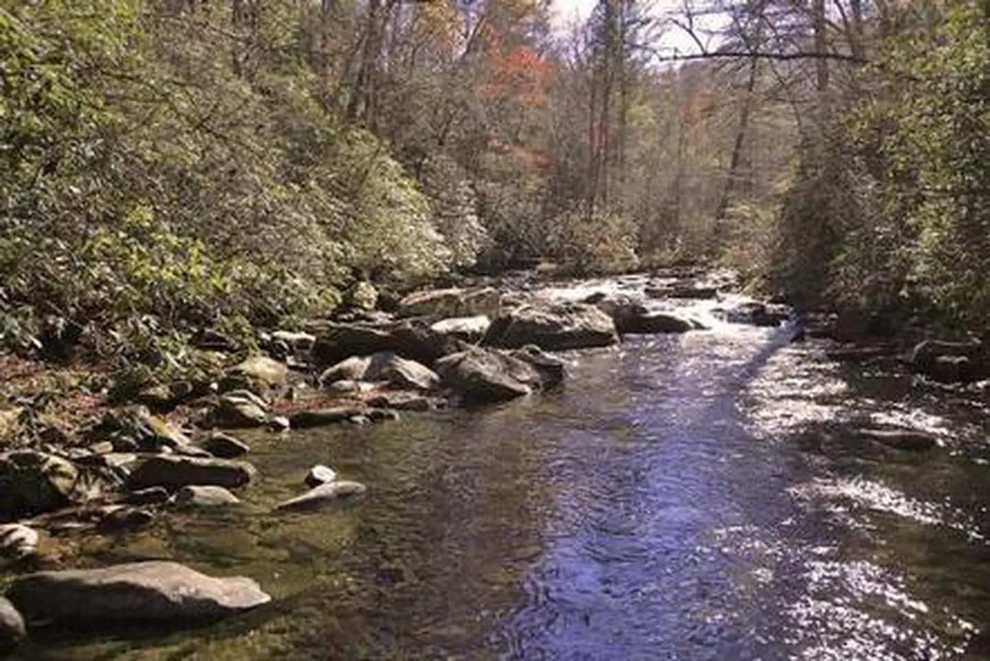
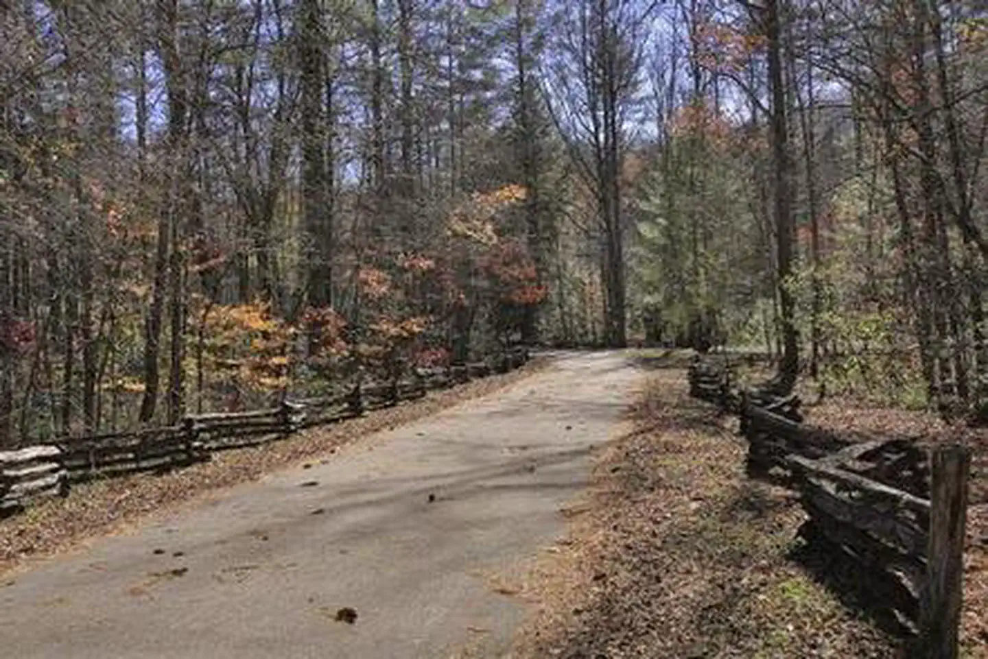
Overview Rattler Ford Group Campground sits near the swift-moving Santeetlah Creek in the Nantahala National Forest. Groups of up to 25 guests can enjoy the creek, which is popular for fly fishing, as well as nearby Lake Santeetlah, which provides countless water sports and activities. Recreation The campground is located about 2.5 miles from the Avey Branch boat ramp at Lake Santeetlah, which provides visitors access to all types of water-related activities, including fishing, boating, and canoeing. Horseshoe pits and volleyball courts are available within the campground. Visitors can also enjoy a variety of hiking trails and scenic drives in the area. Facilities The campground offers four sites, each with varying facilities, but all able to accommodate several tents and up to 25 guests. Multiple tables are available at each site, as well as lantern posts and campfire pits. Each site also provides an oversized grill. Flush toilets and drinking water are provided at the campground, as well as hot showers. Some of the sites are situated near the creek. Natural Features Large trees and thick forests provide moderate shade for the campground, while vast meadows also allow for sunshine and open play. Nantahala is a Cherokee word meaning "land of the noonday sun," which is appropriate, as the sun only reaches the deep gorges of the western North Carolina mountains and valleys at midday. Nearby Attractions The entrance to Joyce Kilmer-Slickrock Wilderness, which contains nearly 17,000 acres, and Joyce Kilmer Memorial Forest, containing nearly 6,000 acres of old-growth forest, is located approximately 1/4 mile from the campground.
From the managing agency.
Is RATTLER FORD GROUP CAMPGROUND free?
We do not have a fee on record for RATTLER FORD GROUP CAMPGROUND. Confirm the cost locally before you go.
How do I get to RATTLER FORD GROUP CAMPGROUND?
RATTLER FORD GROUP CAMPGROUND is at 35.3606, -83.9156. We do not hold written directions for this one, so navigate to the coordinates.
Nearby
SourceSource data is agency published. Last synced September 19, 2026. Community reports and photos are submitted by travelers and are not verified by the agency.
