
Paint Creek Campground
USFS · Campground · Fee
Fast facts
- Cost
- Fee charged
- Managed by
- USFS
- Type
- Campground
- Hours
- Check in: 2:00 p.m.; Check-out: 12:00 p.m.; Quiet hours are 10:00 p.m. until 6:00 a.m.
- Reservations
- recreation.gov
- Phone
- 423-638-4109
- Nearest dump station
- Cosby RV Sanitary Station · 25.5 mi
- Coordinates
- 35.9784, -82.8445
- Last verified
- September 19, 2026

About this place
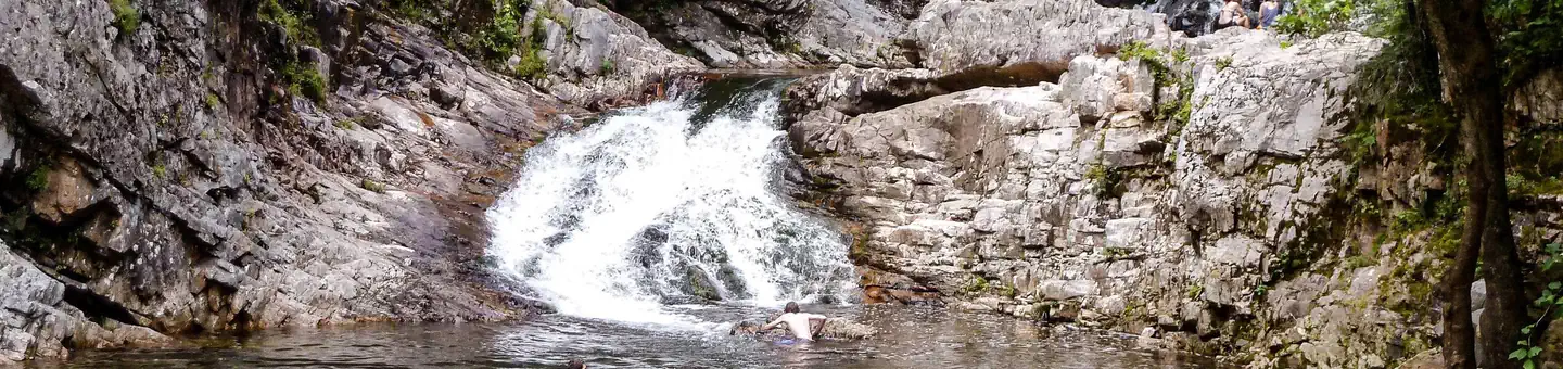
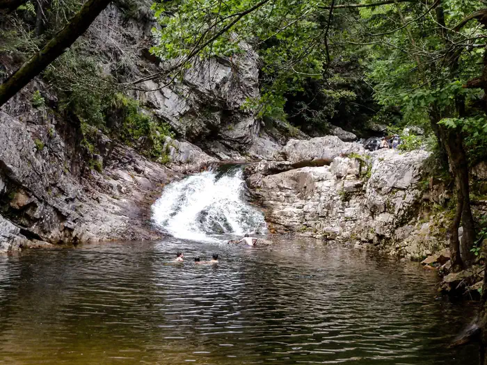
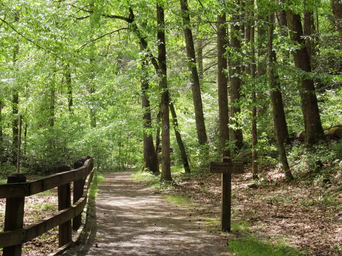
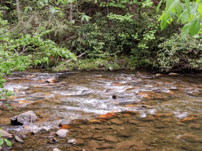
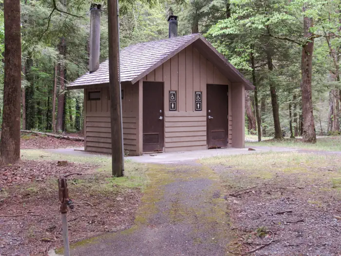
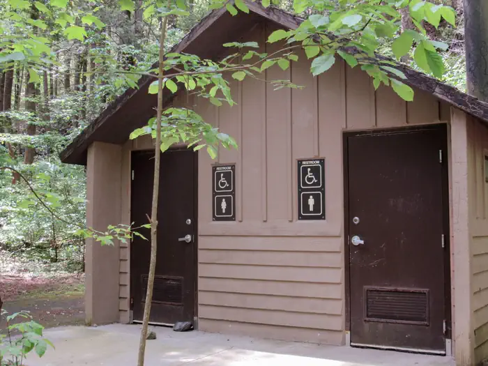
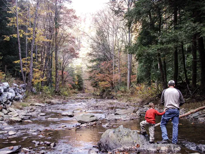
Overview Paint Creek Recreation Area (elevation 1760 feet) is located in Greene County in a mountain cove along Paint Creek. A majority of the widely-spaced campsites have streamside views and are screened by a variety of native plants, including rhododendron, hemlock and laurel. Be Bear Wise: Food storage compliance is strictly enforced. Store all food and trash in hard-sided containers and vehicles while not in use. Never have attractants in your tent. Violations of the food storage order are ticketable offenses and subject to fines. Food and trash left unattended will be impounded by campground staff. Recreation Recreation opportunities abound along the Paint Creek corridor. Paint Creek is a popular stream for swimming, wading and fly fishing. TWRA stocks Paint Creek with Rainbow trout throughout the summer. Warm water fishing is a short drive away at Paint Creek Pond. Two hiking trails begin within walking distance of the campground: Paint Mountain Trail (#7) and Paint Creek Trail (#10). Bike riding along the Paint Creek corridor to Hot Springs, NC is becoming a favorite pastime. Several scenic auto loops can begin at Paint Creek campground. Facilities 20 total campsites All single occupancy 3 sites (13, 14, and 16) are tent-only 2 vault toilets, one in each loop Drinking water available at the center of the campground Paint Creek Campground Map Natural Features Waterfalls: Kelly, Dudley and Ricker Falls can be seen from Forest Road 41 along Paint Creek. Cascades: 15 feet each. Paint Creek Pond: Among the cattails and other aquatic plants, watch for beavers and listen for frog calls. In the early morning, watch mist rise from the placid surface of the pond. The pond is an easy drive or bicycle ride from Paint Creek Campground. Contact Info Nearby Attractions French Broad River: Class I-III rapids. A popular commercial section runs 13 miles from Hot Springs, North Carolina, to Del Rio, Tennessee, with local rafting services. Scenic drives along Paint Creek Corridor with Hot Springs Loops - Meander along 5-mile Paint Creek Corridor to historic Paint Rock. Stop for a picnic, check out scenic waterfalls or splash in the ripples along the way. Extend your trip by travelling along French Broad River via River Road to the community of Hot Springs, North Carolina. Two overmountain routes will bring you back to Paint Creek: From Hot Springs, take US 25/70 west to TN 107 to Forest Road 54. Catch scenic mountain vistas along this winding gravel road that intersects Forest Road 41 near Paint Rock. From Hot Springs, take US 25/70 east to Forest Road 467 and wind through Pisgah National Forest to Hurricane Gap. Forest Road 31 brings you back to Paint Creek at Moses Turn trailhead. Take a side trip at Hurricane Gap to Pisgah National Forest’s Rich Mountain Firetower or catch the Appalachian National Scenic Trail #1.
From the USFS.Official page
Is Paint Creek Campground free?
No. Paint Creek Campground charges a fee. It is managed by the USFS. Sites are reservable through recreation.gov.
How do I get to Paint Creek Campground?
From Greeneville - Take TN 70 south for 11.2 miles. Turn right on Rollins Chapel Road and then follow the signs to Paint Creek.
Nearby
SourceData from the USFS. Last synced September 19, 2026. Community reports and photos are submitted by travelers and are not verified by the agency.
