
HOUSTON VALLEY
Campground · Fee not listed
Fast facts
- Cost
- Not listed. Check locally.
- Type
- Campground
- Phone
- (423) 638-4109
- Nearest dump station
- Cosby RV Sanitary Station · 20.6 mi
- Coordinates
- 35.9633, -82.9444
- Last verified
- September 19, 2026
About this place
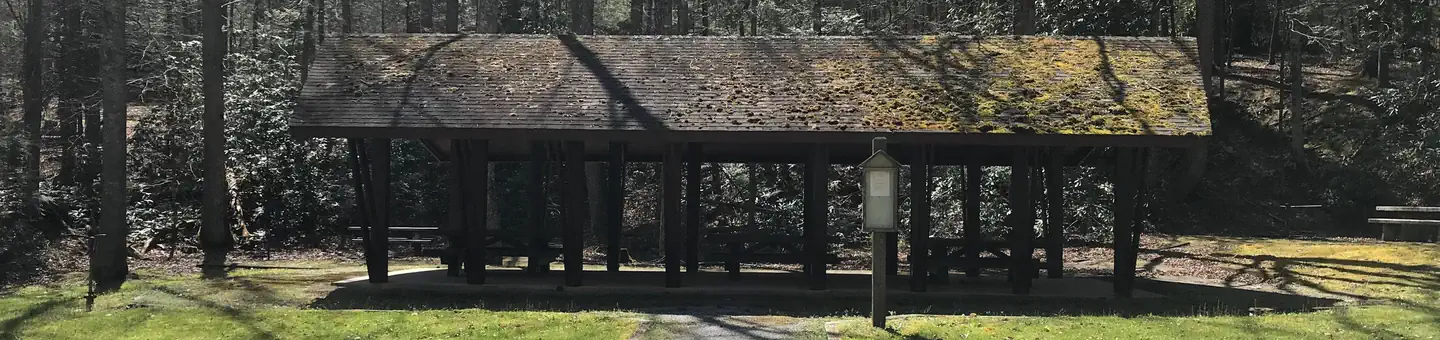
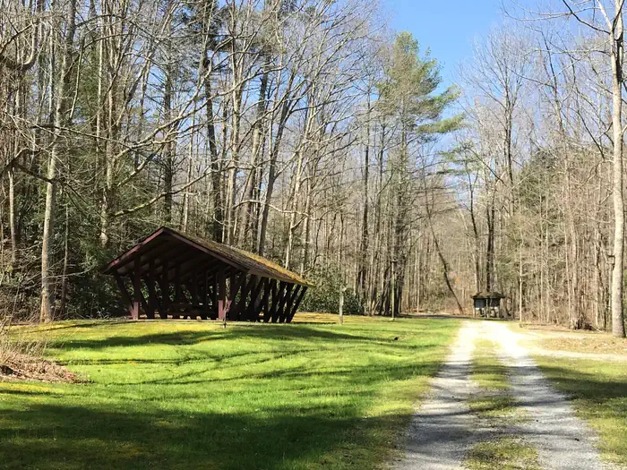
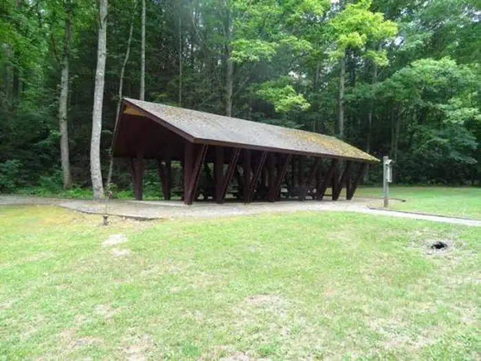
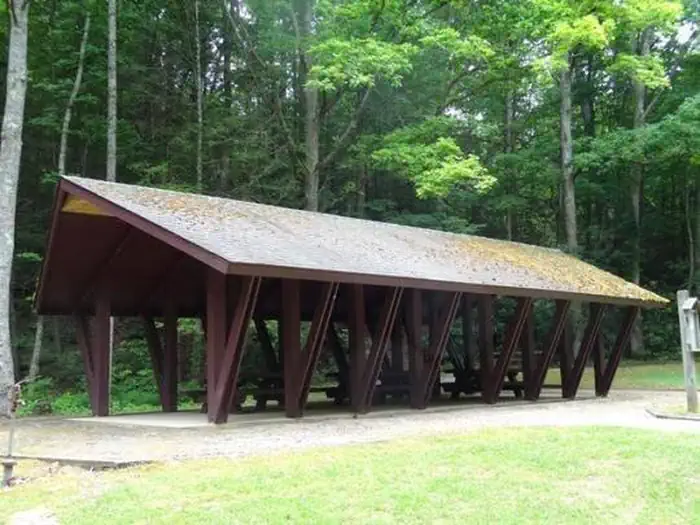
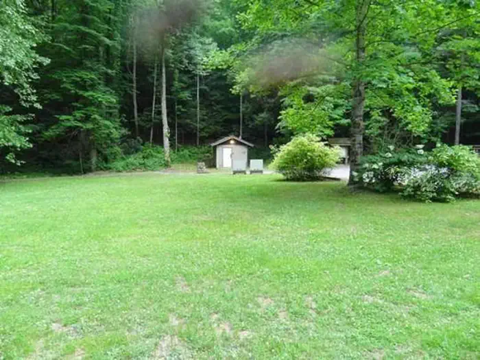
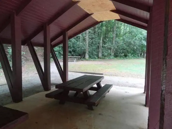
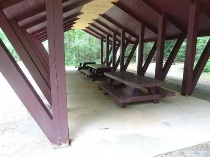
Overview Houston Valley Recreation Area (elevation 1,800 feet) is centrally located to both Paint Creek and Weaver Bend. It is located directly off Tennessee (TN) Scenic Highway 107. Recreation Equestrian trails and hiking trails are located close to the recreation area. An open grass area is available for games. Facilities Houston Valley Recreation Area has eight picnic sites and two group picnic areas in addition to the pavilion. A green-space restroom and trash cans are located a short distance from the pavilion. The pavilion itself contains three large picnic tables and is located adjacent to two single tables with grills. Natural Features The recreation area is nestled along the edge of a hardwood forest. Fall colors are spectacular along this stretch of TN Scenic Highway 107. Nearby Attractions Meadow Creek, a Fire Tower that has recently been renovated as a lookout platform, is a short drive or hike away. Burnette Gap Trailhead is a short distance away. Bubbling Springs Rifle Range is located off TN Scenic Highway 107. Another scenic drive along Brush Creek Road (#209) leads to Weaver Bend and Allen Branch Pond. An accessible .2 mile trail rings Allen Branch Pond and Weaver Bend Road (#209C) parallels the French Broad River. Contact Info For facility specific information, please call (423) 638-4109.
From the managing agency.
Is HOUSTON VALLEY free?
We do not have a fee on record for HOUSTON VALLEY. Confirm the cost locally before you go.
How do I get to HOUSTON VALLEY?
HOUSTON VALLEY is at 35.9633, -82.9444. We do not hold written directions for this one, so navigate to the coordinates.
Nearby
SourceSource data is agency published. Last synced September 19, 2026. Community reports and photos are submitted by travelers and are not verified by the agency.
