
Johns River Road Backcountry Camping
Campground · Fee
Fast facts
- Cost
- Fee charged
- Type
- Campground
- Phone
- 828-276-2300
- Nearest dump station
- Cosby RV Sanitary Station · 87.1 mi
- Coordinates
- 36.1503, -81.7332
- Last verified
- September 19, 2026
About this place
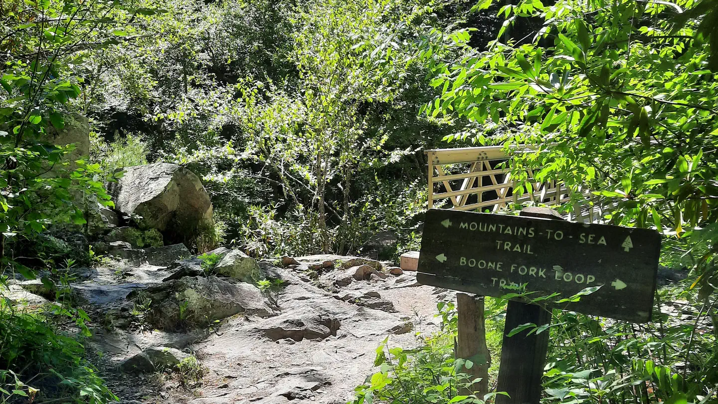
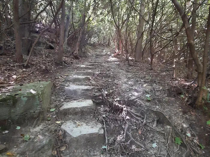
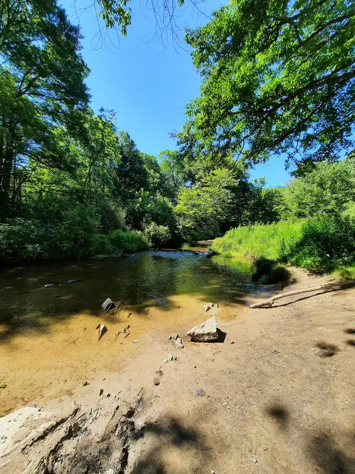
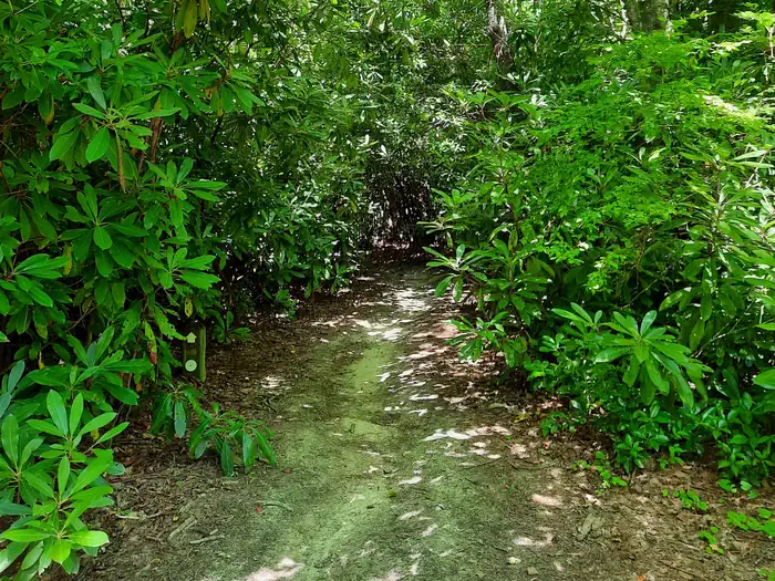
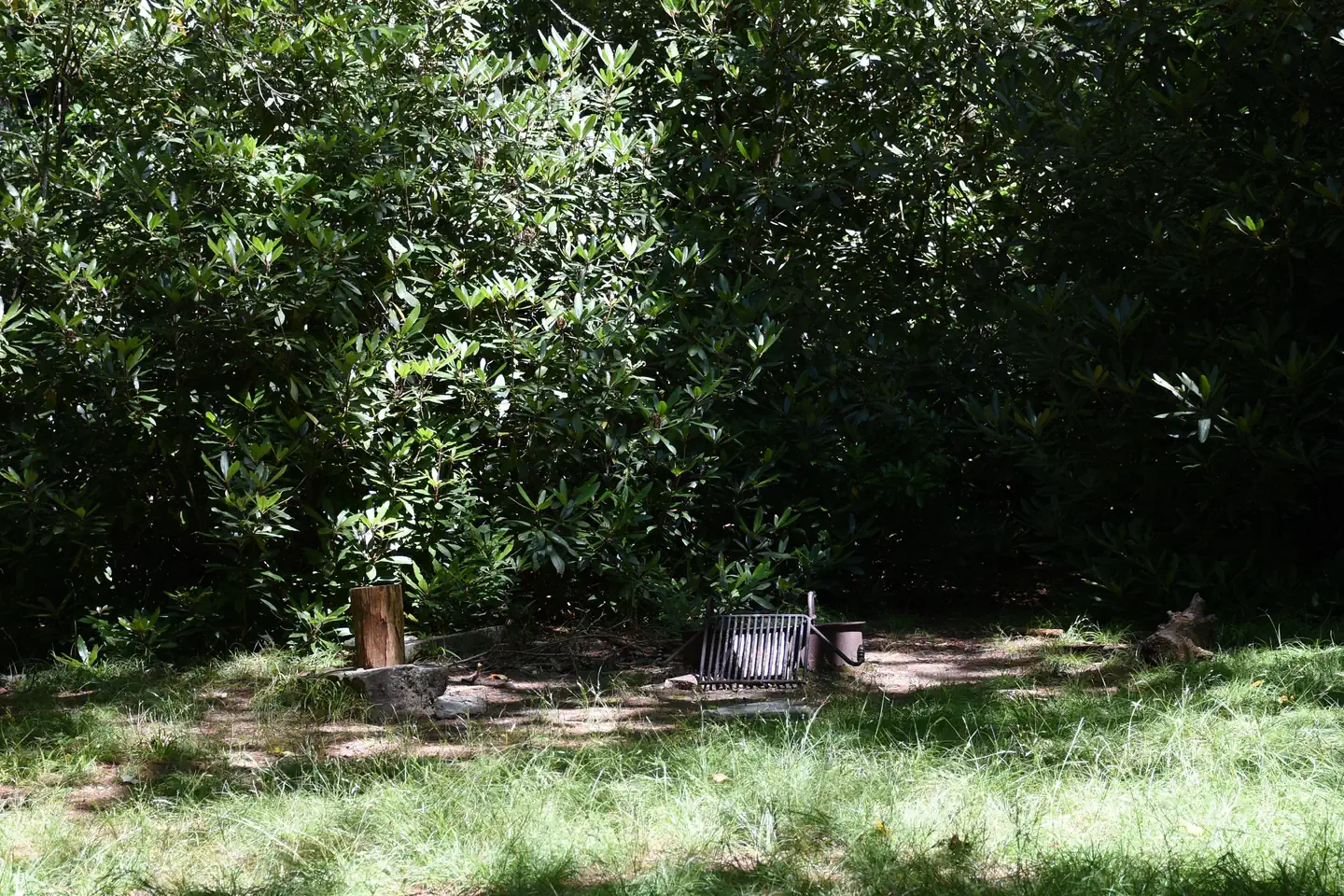
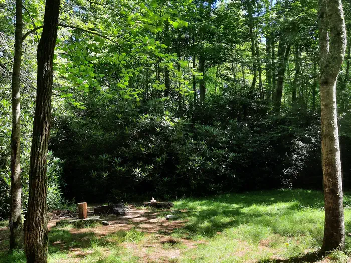
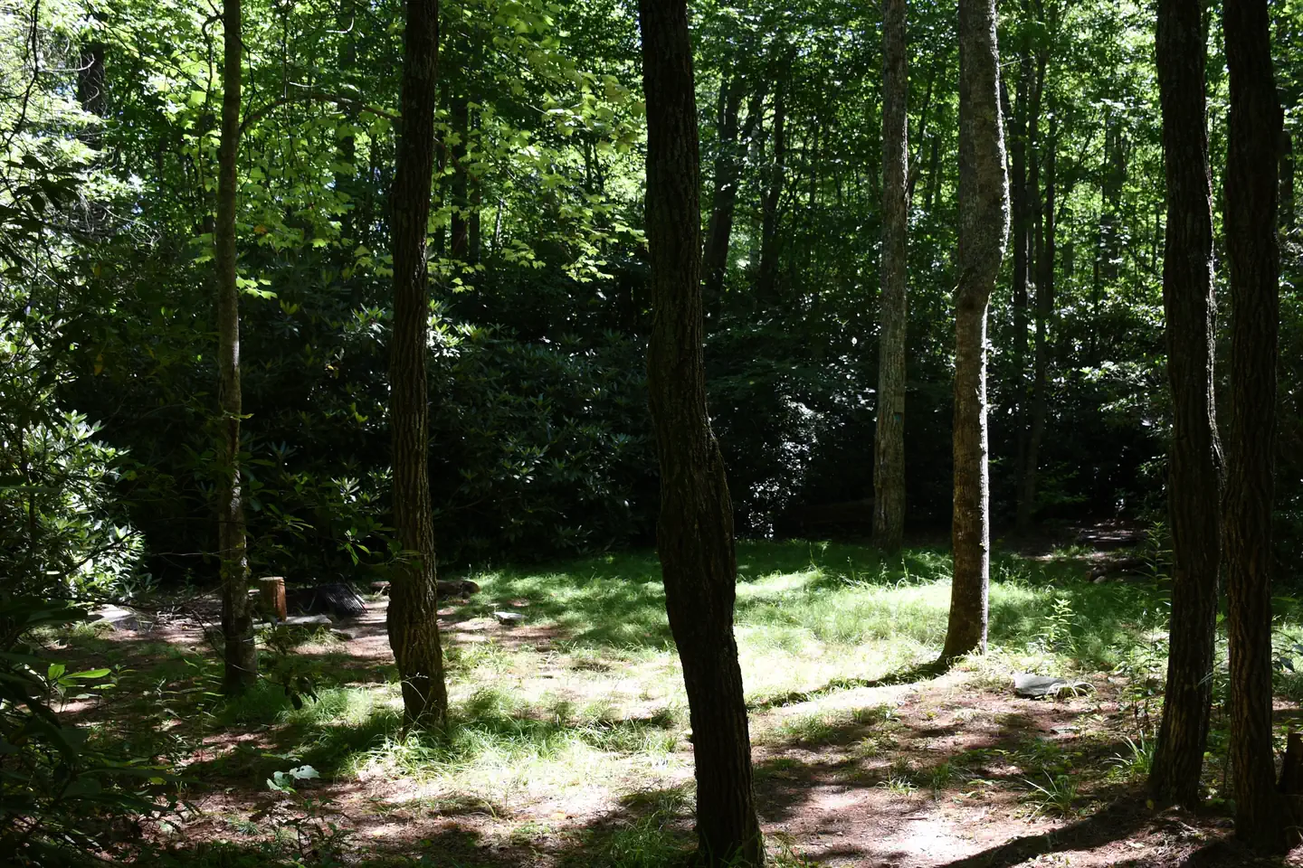
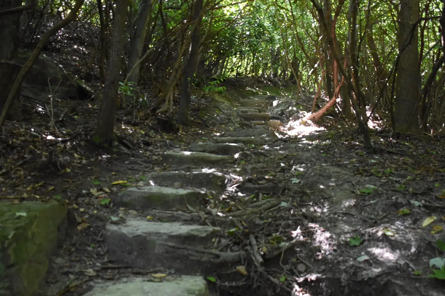
Overview Old John’s River Road Backcountry Camping is a primitive camping location along the Mountains to Sea Trail near Blowing Rock, North Carolina. There are 2 sites available, each with a fire ring. Maximum capacity is 6 people per site and the maximum stay length is 3 nights. Access this location either by hiking the Boone Fork Trail from the Julian Price Park Picnic Area, or Old John’s River Road between mile 296 and 297 on the Blue Ridge Parkway. Black bears and other wildlife frequent this area, so bring an approved bear cannister or hang food or any scented items from a tree at least 10 feet high and 4 feet from the trunk. No toilets are available. All human waste must be buried a minimum of 6 inches deep and a minimum of 100 feet from any stream. All trash must be packed out. Water should be purified before consumption. Bathing and washing dishes with soap in the nearby stream is prohibited. There is likely no cellphone service at this site. Recreation Julian Price Memorial Park has 3 main loop trails. Price Lake Loop Trail is an easy to moderate 2.3-mile trail around the Price Lake through mixed hardwood forest and rhododendron thickets. The Green Knob Trail is a moderate 2-mile loop that runs along Sim’s Creek through a mixed hardwood forest, with a small section through an open cow pasture. The Boone Fork Trail is a strenuous 4.9-mile loop that traverses a variety of landscapes along Boone Fork Creek. It features stream crossings and trail ladders and lots of uneven footing. The most popular feature of this trail is the Hebron Colony Falls, which is a section of the Boone Fork Creek that cascades through a boulder field. Hikers are advised to allow for 3-4 hours for this trail, bring plenty of water and snacks, and wear sturdy shoes. Price Lake offers fishing and paddling opportunities. A North Carolina or Virginia fishing license is required. Price Lake Boat Rentals offers canoes, kayaks, and standup paddleboards. There is also a public boat ramp. No motors or sails are allowed. Natural Features Julian Price Memorial Park offers hiking through hardwood and coniferous forests as well as open pasture and Creekside riparian zones. The Boone Fork Creek and Price Lake provide fishing opportunities and boat rentals are available at Price Lake near the Julian Price Campground. Nearby Attractions Things to Do in Boone, NC Things to do in Boone, NC Grandfather Mountain State Park Grandfather Mountain State Park Julian Price Park Julian Price Park - Milepost 297 Moses H. Cone Memorial Park Moses H. Cone Memorial Park - Milepost 294 Contact Info For facility specific information, please call (828) 276-2300.
From the managing agency.
Is this site free?
No. this site charges a fee.
How do I get to this site?
this site is at 36.1503, -81.7332. We do not hold written directions for this one, so navigate to the coordinates.
Nearby
SourceSource data is agency published. Last synced September 19, 2026. Community reports and photos are submitted by travelers and are not verified by the agency.
