
Quigley Group Use
Campground · Fee
Fast facts
- Cost
- Fee charged
- Type
- Campground
- Phone
- 406-449-5201
- Coordinates
- 46.5609, -112.3057
- Last verified
- September 19, 2026
About this place
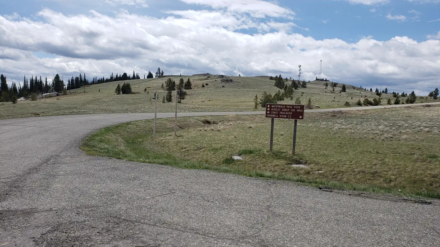
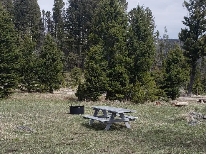
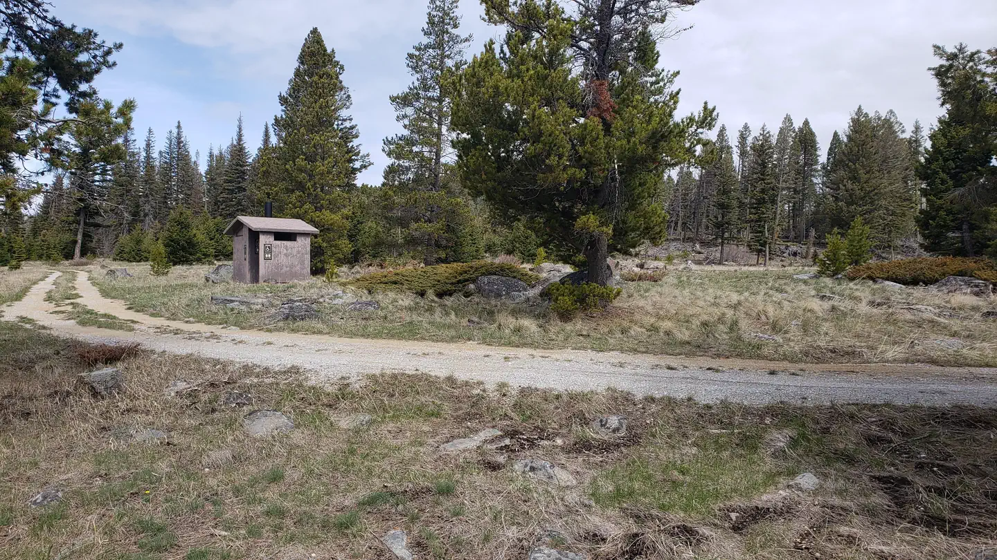
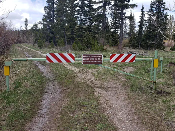
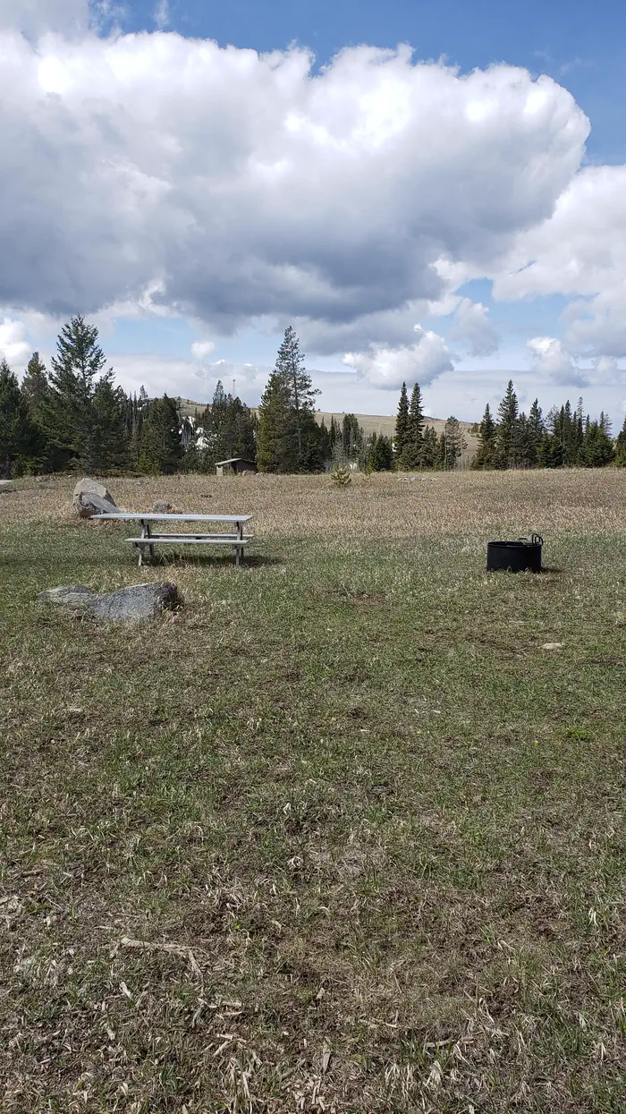
Overview Quigley Group Use Site sits in forested mountain terrain on the top of MacDonald Pass about 15 miles west of Helena, Montana. Quigley is on public land managed by the Helena Ranger District of the Helena-Lewis and Clark National Forest and is adjacent to the Continental Divide National Scenic (CDNST) trail. Located right on the Continental Divide at 6,300 feet elevation, there are spectacular views of surrounding country encompassing meadows, timbered slopes, and mountains. The site is available for rental from June 1 to October 15 each year and closed at all other times. Recreation Quigley Group Use offers outdoor enthusiasts the opportunity to hike, bike and enjoy a long list of outdoor recreational activities on and around the Continental Divide Trail system. Hunting, photography, and exploration are all great recreational activities in this area. There is an extensive road system 10 miles to the west (Little Blackfoot) and five miles to the east (Rimini and Priest Pass) where many people use trucks or ride off-highway vehicles in the summer and fall to see the general area and old mining relics. The area to the south and north is sparsely roaded and offers a non-motorized, more remote experience. Facilities Quigley Group Use Site is an undeveloped camping area able to accommodate approximately 40 people. There is limited trailer parking and trailers should not exceed 20 feet in length. Space is available for 10-12 four-person tents. There are no camper hook ups and water is not available. There is one vault toilet on-site. Large groups staying for a longer period often choose to have portable toilet(s) delivered at the start of thier stay and pickup up before the end of their stay, at their own expense. Natural Features At an elevation of 6,300 feet, beneath a canopy of lodgepole pine and Douglas fir trees, this Group Site is an ideal setting for larger families or groups seeking relaxation and recreation. Nearby rugged ridges, meadows, forests and grasslands provide wildlife diverse ecosystems. Grizzly bear, deer, elk, gray wolf, moose, black bear, mountain lion, all call the area home. Contact Info For facility specific information, please call (406) 449-5201. Nearby Attractions The Continental Divide National Scenic Trail (CDNST) mile 616 is just a few hundred feet from the group use site, and the CDNST runs due north and south from there. The City of Helena is about 15 miles away via US Highway 12. Note, the area is near a fee campground and a trailhead, and both are well used by the general public all summer long. The area is not remote, and users can expect to encounter other people recreating.
From the managing agency.
Is Quigley Group Use free?
No. Quigley Group Use charges a fee.
How do I get to Quigley Group Use?
Quigley Group Use is at 46.5609, -112.3057. We do not hold written directions for this one, so navigate to the coordinates.
Nearby
- Moose Creek Campground3.4 mi
- MOOSE CREEK CABIN3.5 mi
- Park Lake Campground10.5 mi
- KADING CABIN12.3 mi
- Kading Campground12.4 mi
- Lost Horse Cabin15.1 mi
- Cromwell Dixon Campground16.8 mi
- STRAWBERRY CABIN19.5 mi
No other services within 50 mi on the record.
SourceSource data is agency published. Last synced September 19, 2026. Community reports and photos are submitted by travelers and are not verified by the agency.
