
Hurricane Landing Day Use
Campground · Fee
Fast facts
- Cost
- Fee charged
- Type
- Campground
- Phone
- 662-563-4531
- Coordinates
- 34.4936, -89.5811
- Last verified
- September 19, 2026
About this place
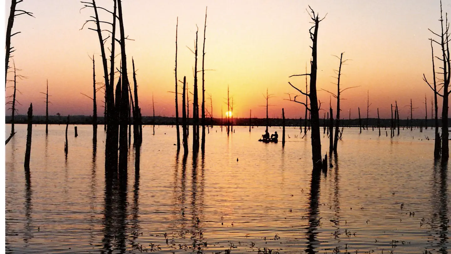
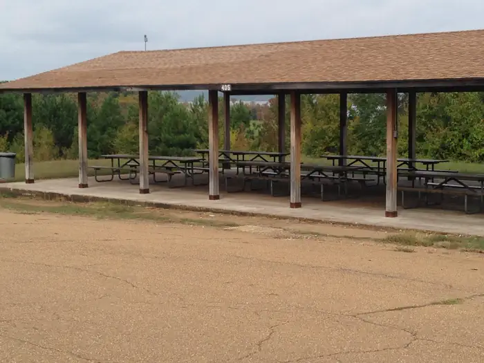
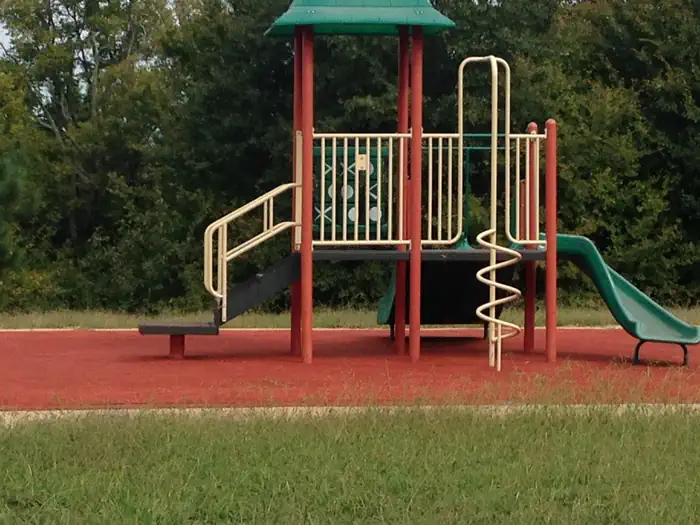
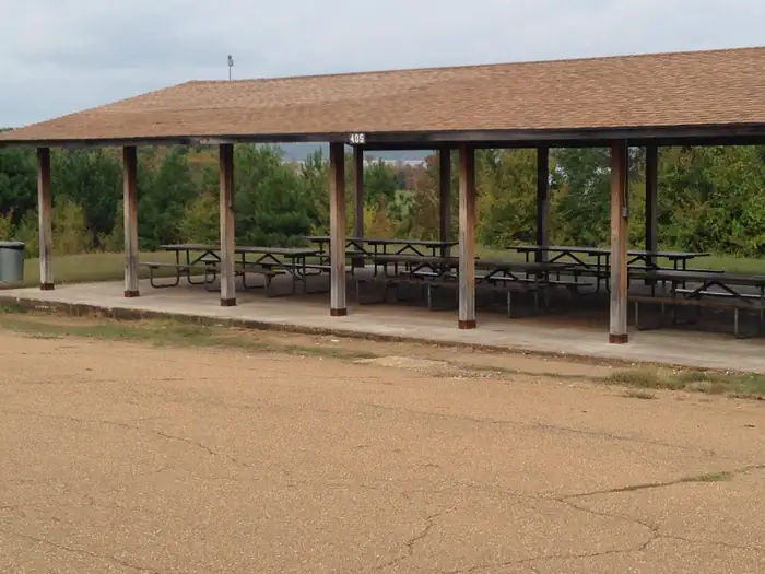
Overview Hurricane Landing is located near the eastern end of Sardis Lake's southern shoreline. The area offers access to some of the best fishing on Sardis Lake. Recreation Outdoor opportunities abound at Sardis Lake. Sardis is consistently ranked as one of the top crappie fishing locations in the country and is also popular for catfish and bass. Hunters will find deer, turkey, squirrel, waterfowl, and rabbit are plentiful in hunting areas around the lake. Sardis Lake also offers beautiful views for sightseeing, and trails for those who love to hike or mountain bike. Facilities Hurricane Landing offers boat launching at high and low water levels. There is a 15 site campground in the area, a pavilion with capacity for approximately 100 people and a small playground. Natural Features Sardis Lake contains over 98,000 acres of land and water in Panola, Lafayette, and Marshall counties in the rolling hills of north Mississippi. Hurricane Landing has beautiful Osage Orange (Bodock) trees that add a unique character to this special place. Nearby Attractions The city of Oxford, Mississippi and the University of Mississippi (Ole Miss) are a twenty minute drive away, as is the historic town of Holly Springs and I-22.
From the managing agency.
Is Hurricane Landing Day Use free?
No. Hurricane Landing Day Use charges a fee.
How do I get to Hurricane Landing Day Use ?
Hurricane Landing Day Use is at 34.4936, -89.5811. We do not hold written directions for this one, so navigate to the coordinates.
Nearby
- Hurricane Landing0.3 mi
- Clear Creek Day Use Area (MS)7.9 mi
- CLEAR CREEK (MS)8.7 mi
- Pat's Bluff10.0 mi
- Pat's Bluff Day Use10.2 mi
- Engineer Point13.4 mi
- Outlet Channel (Sardis)13.5 mi
- Big Acres13.6 mi
No other services within 50 mi on the record.
SourceSource data is agency published. Last synced September 19, 2026. Community reports and photos are submitted by travelers and are not verified by the agency.
