
Clear Creek Day Use Area (MS)
Campground · Fee
Fast facts
- Cost
- Fee charged
- Type
- Campground
- Phone
- 662-563-4531
- Coordinates
- 34.4208, -89.6872
- Last verified
- September 19, 2026
About this place
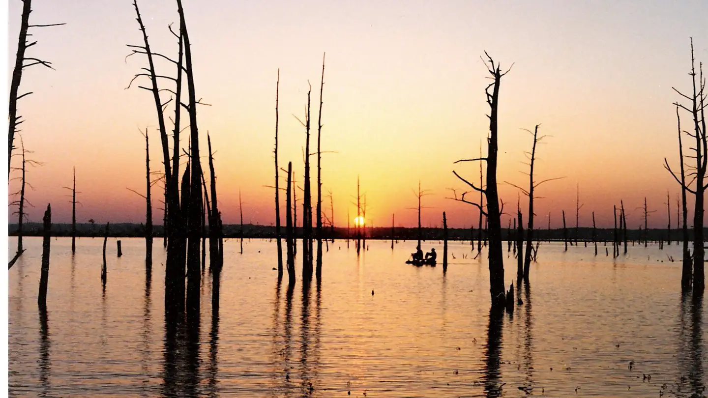
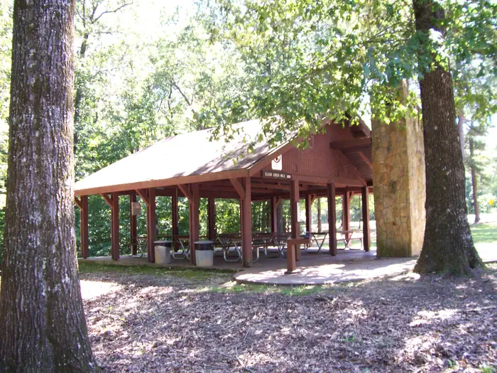
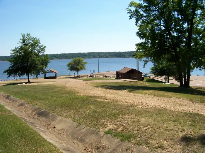
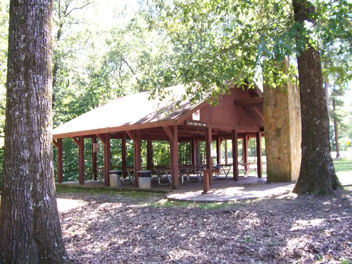
Overview Clear Creek is nestled in the forests surrounding Sardis Lake. It is conveniently located within 15 minutes of Oxford, MS. Clear Creek offers access to camping, mountain biking, boating, and picnicking at Sardis Lake. Recreation Sardis Lake offers an array of recreational activities, including fishing, boating, water skiing and swimming. Clear Creek offers opportunities for camping, hunting, picnicking, boating, fishing, and mountain biking. Facilities Clear Creek has multiple picnic sites, two group picnic shelters, a boat launch, a 13-mile mountain bike trail, and a campground with 19 resrevable sites. Natural Features Sardis Lake covers over 98,000 acres in the rolling hills of northwest Mississippi. The man-made lake sits on the Tallahatchie River at an approximate elevation of 400 feet. Clear Creek is forested with pine and hardwood forests. Nearby Attractions Clear Creek is approximately 15 minutes driving distance to Oxford, MS. The bustling college town is home to the University of Mississippi and offers multiple unique dining and shopping opportunities.
From the managing agency.
Is Clear Creek Day Use Area (MS) free?
No. Clear Creek Day Use Area (MS) charges a fee.
How do I get to Clear Creek Day Use Area (MS)?
Clear Creek Day Use Area (MS) is at 34.4208, -89.6872. We do not hold written directions for this one, so navigate to the coordinates.
Nearby
- CLEAR CREEK (MS)1.4 mi
- Pat's Bluff2.6 mi
- Pat's Bluff Day Use2.7 mi
- Engineer Point5.8 mi
- Outlet Channel (Sardis)6.0 mi
- Big Acres6.2 mi
- Paradise Point6.3 mi
- Oak Grove (MS)6.4 mi
No other services within 50 mi on the record.
SourceSource data is agency published. Last synced September 19, 2026. Community reports and photos are submitted by travelers and are not verified by the agency.
