
Outlet Channel (Sardis)
Campground · Fee
Fast facts
- Cost
- Fee charged
- Type
- Campground
- Phone
- 662-563-4531
- Coordinates
- 34.4005, -89.7896
- Last verified
- September 19, 2026



About this place
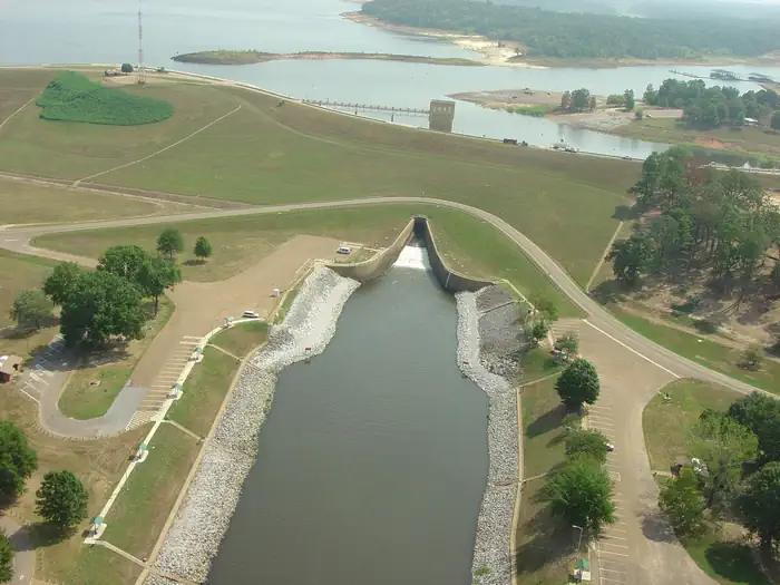
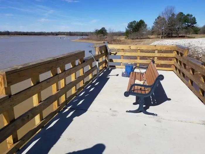
Overview Welcome to Sardis Lake, we are glad you have decided to learn more about our lake and know you will have a good time once you get here. Whether you are planning for a day or a week; or if you are into the outdoors, hunting, fishing, boating or camping, you are going to discover a wide selection of activity options. Sardis Lake stretches over 98,000 acres of land and water through Panola, Lafayette and Marshall counties in beautiful Northwest Mississippi. Come explore and discover for yourself our forest, lakes and recreational activities. The Outlet Channel/Riverview area offers beautiful views of the 400-acre "Lower Lake" below Sardis Dam. The area is great for picnicking and offers some of the best bank fishing at Sardis Lake. Recreation Aside from offering some of the best bank fishing at Sardis Lake the area also has a group picnic shelter and individual picnic sites. Facilities There is one group picnic shelter in the area. The group shelter is reservable. Outlet Channel/Riverview also has over 30 individual picnic sites and a small basketball court. The area is also adjacent to a swim beach. Natural Features Outlet Channel/Riverview is located on the shore of the "Lower Lake" at Sardis. The Lower Lake is a 400 acre lake on the downstream side of Sardis Dam. Contact Info For facility specific information, please call (662) 563-4531.
From the managing agency.
Is Outlet Channel (Sardis) free?
No. Outlet Channel (Sardis) charges a fee.
How do I get to Outlet Channel (Sardis)?
Outlet Channel (Sardis) is at 34.4005, -89.7896. We do not hold written directions for this one, so navigate to the coordinates.
Nearby
- Big Acres0.3 mi
- Engineer Point0.5 mi
- Paradise Point0.5 mi
- Oak Grove (MS)0.6 mi
- Cypress Point1.1 mi
- Pat's Bluff Day Use3.4 mi
- Pat's Bluff3.5 mi
- CLEAR CREEK (MS)4.9 mi
No other services within 50 mi on the record.
SourceSource data is agency published. Last synced September 19, 2026. Community reports and photos are submitted by travelers and are not verified by the agency.
