
Rymers Campground
Campground · Fee
Fast facts
- Cost
- $10.00
- Type
- Campground
- Sites
- 4 total · 4 reservable · 0 first come
- Reservations
- recreation.gov
- Coordinates
- 37.0606, -91.5589
- Last verified
- September 18, 2026
About this place
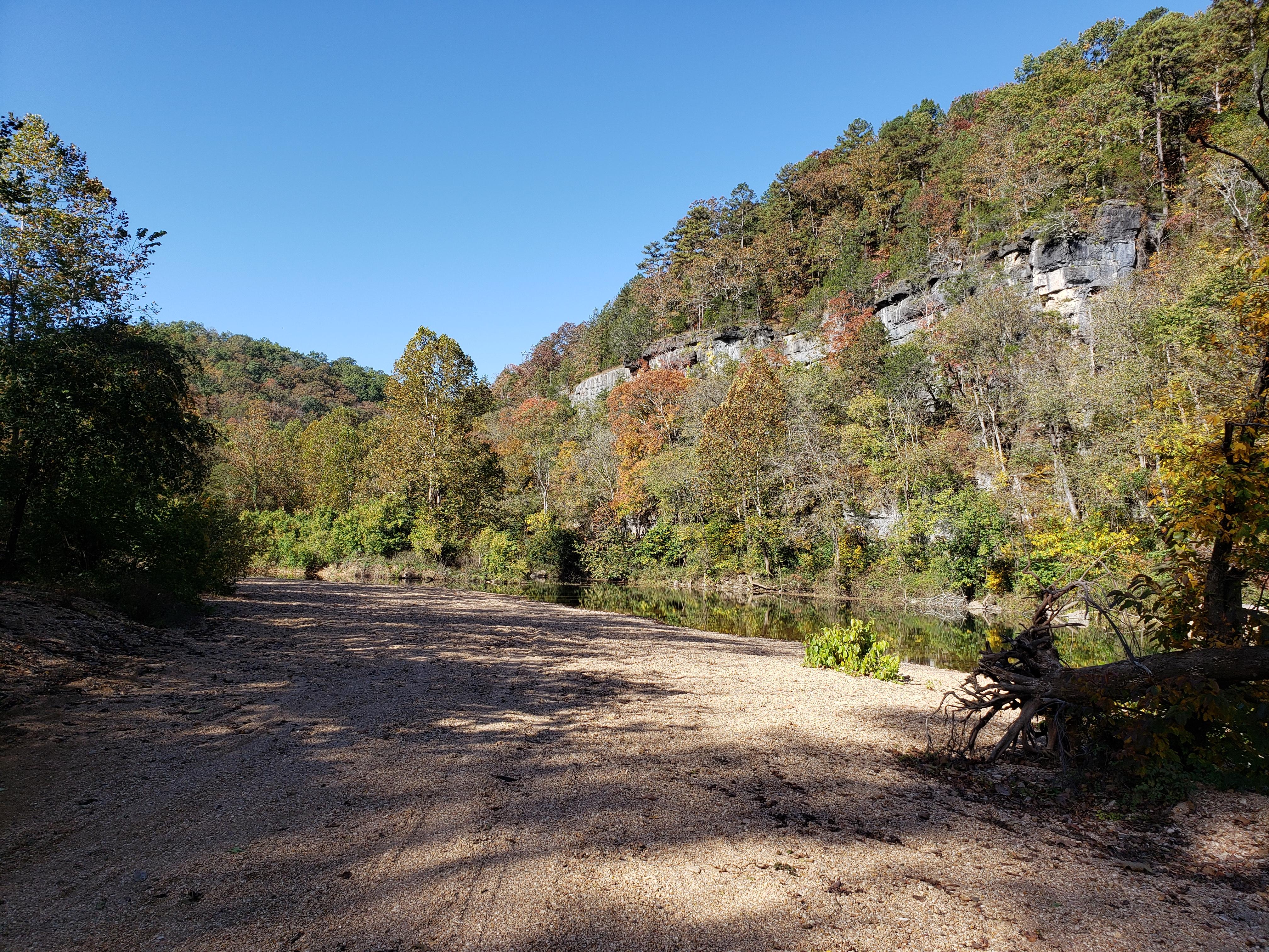
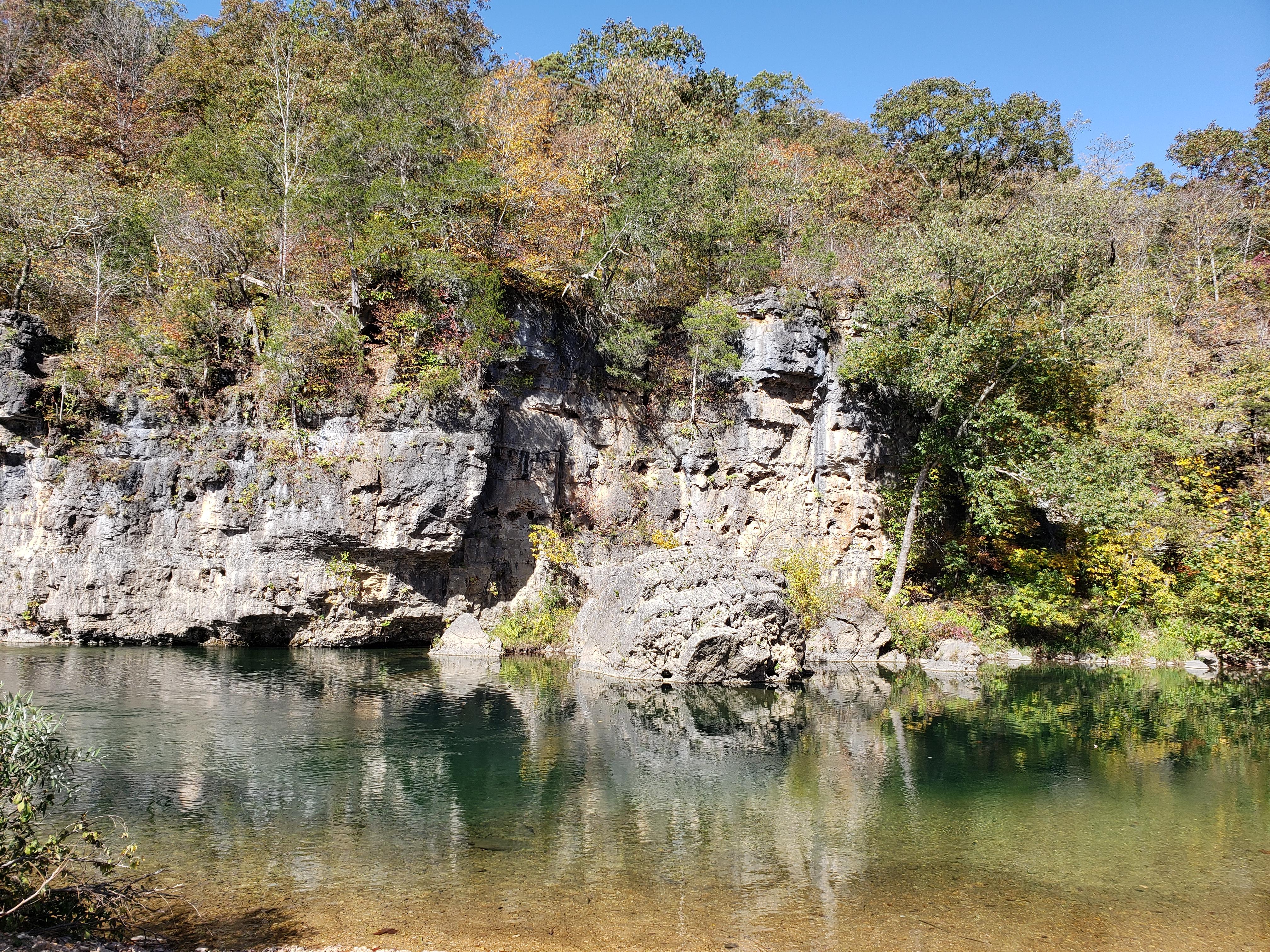
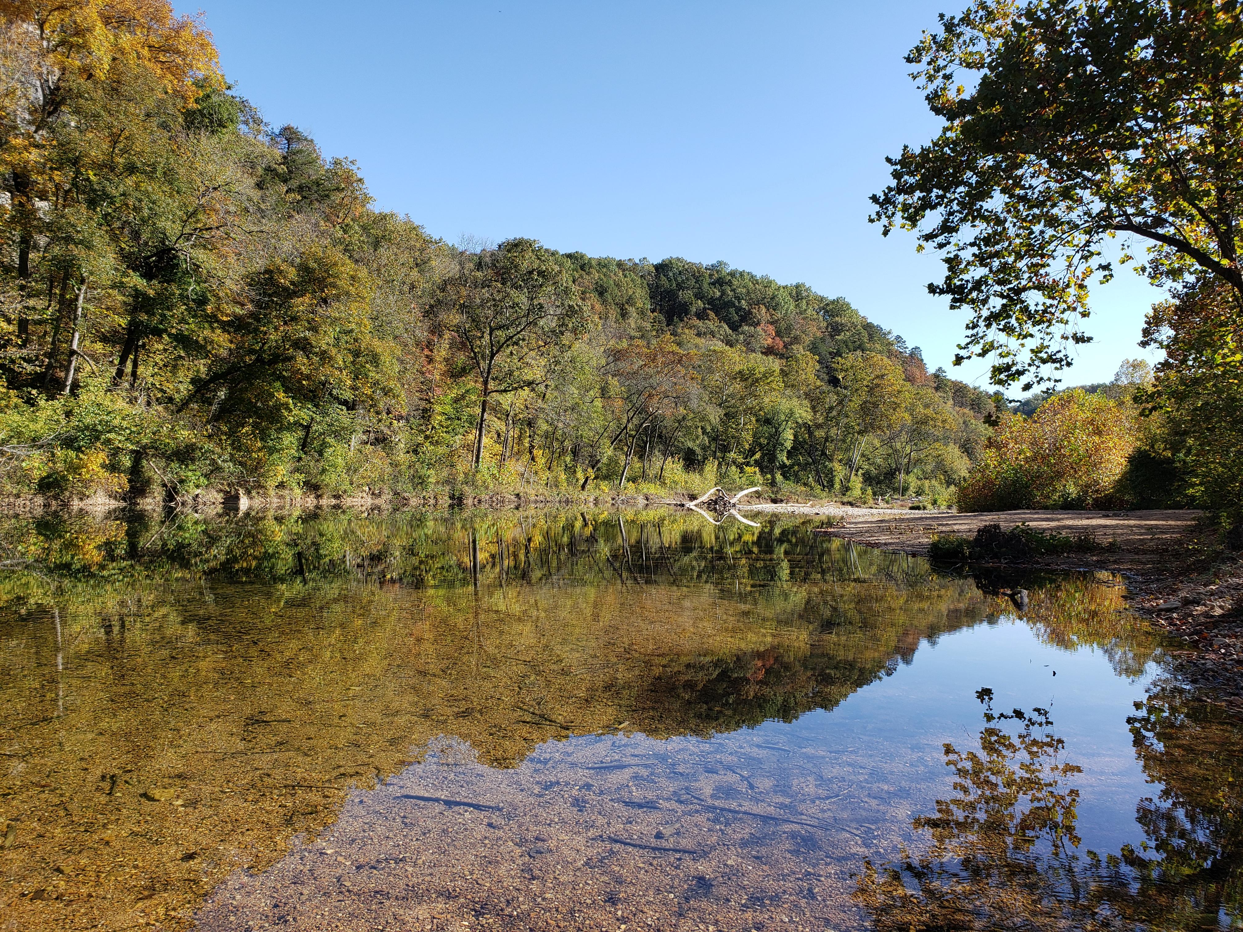
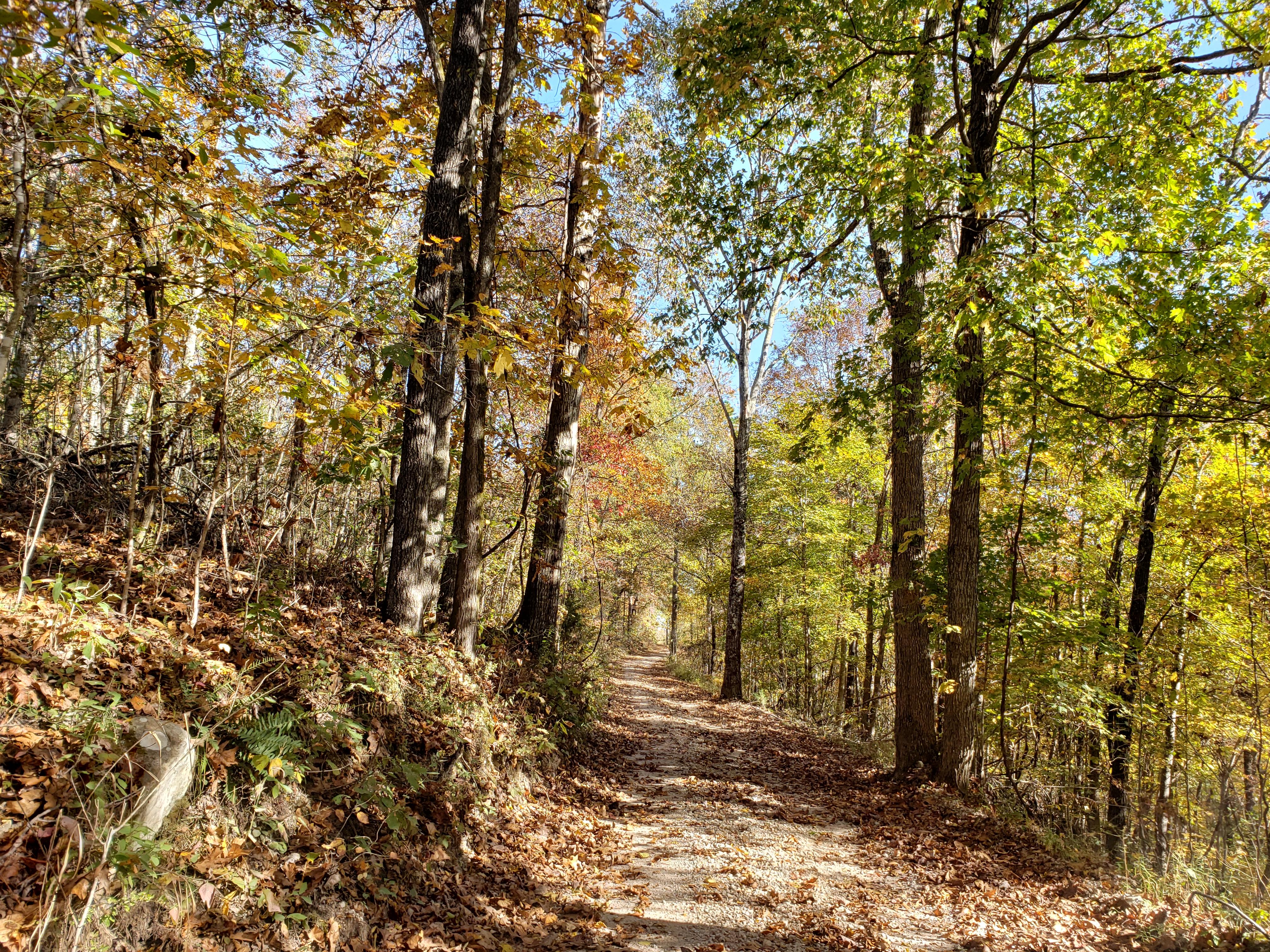
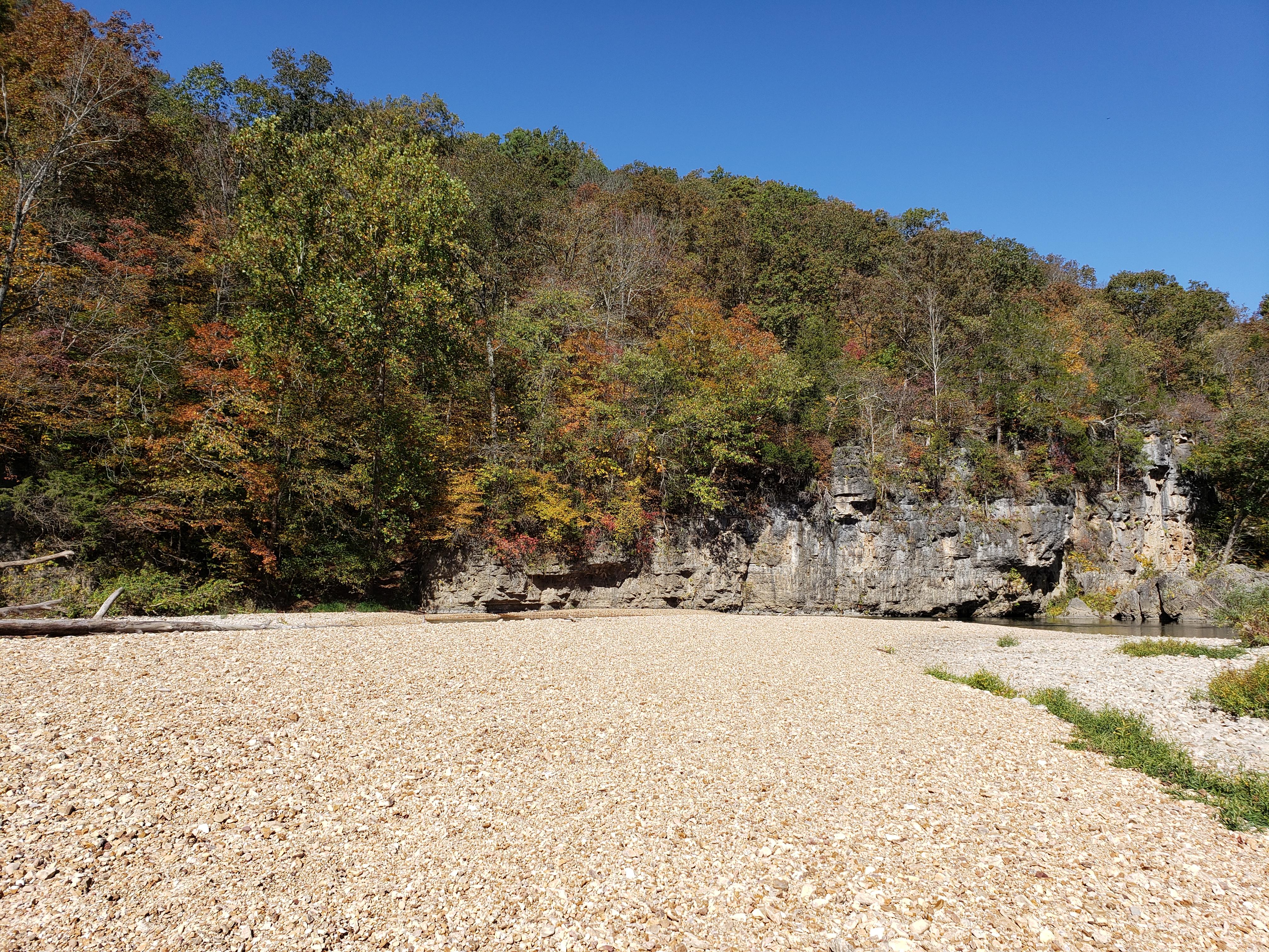
As one of the smallest, most remote campgrounds in the park, Rymers is loved for its beautiful surroundings. Rymers also serves as a river access point, making floating trips a breeze! Throughout the year, visitors can enjoy river recreation or secluded sites. Like other campgrounds on the Jacks Fork, Rymers sees year-round visitation. In summer, deep swimming holes help campers beat the heat. In fall, trees show off a rainbow of colors. Finally, as winter approaches, tall bluffs reveal themselves.
From the managing agency.Official page
Is Rymers Campground free?
No. Rymers Campground charges $10.00. 4 of its sites are reservable through recreation.gov.
Can I bring an RV to Rymers Campground?
Rymers Campground has 4 sites on record. 4 sites are reservable and 0 are first come.
How do I get to Rymers Campground?
Rymers Campground is roughly 20 minutes from Birch Tree, Missouri. This route requires driving on rough, narrow gravel roads for about 2.5 miles. High clearance is recommended. Starting in Birch Tree, head west on Highway 60. After 4 miles, turn north onto State Highway M. Stay on this road for 1.5 miles, then take the right turn to stay on M. After another 2 miles, the road will turn to gravel - this is County Road M-471. Stay on the main path until you reach Rymers Campground, about 2.5 miles away.
What is the weather like at Rymers Campground?
Ozark National Scenic Riverways is located in southeast Missouri. Summer temperatures generally range from 75-100 degrees with high humidity. Winter temperatures generally range from 0-50 degrees with periods of intermittent freezing and snow.
What are the rules at Rymers Campground?
Visit our Camping Regulations page for rules governing quiet hours, generators, fires, hammocks, and more.
Nearby
- Bachers Campground3.4 mi
- Blue Spring Campground4.1 mi
- Bay Creek Campground5.2 mi
- ALLEY SPRING8.5 mi
- Alley Spring Campground8.5 mi
- Shawnee Creek Campground16.2 mi
- Broadfoot Campground16.9 mi
- Round Spring Campground17.3 mi
No other services within 50 mi on the record.
SourceSource data is agency published. Last synced September 18, 2026. Community reports and photos are submitted by travelers and are not verified by the agency.
