
Bay Creek Campground
Campground · Fee
Fast facts
- Cost
- $10.00
- Type
- Campground
- Sites
- 11 total · 11 reservable · 0 first come
- Reservations
- recreation.gov
- Coordinates
- 37.1218, -91.5041
- Last verified
- September 18, 2026
About this place
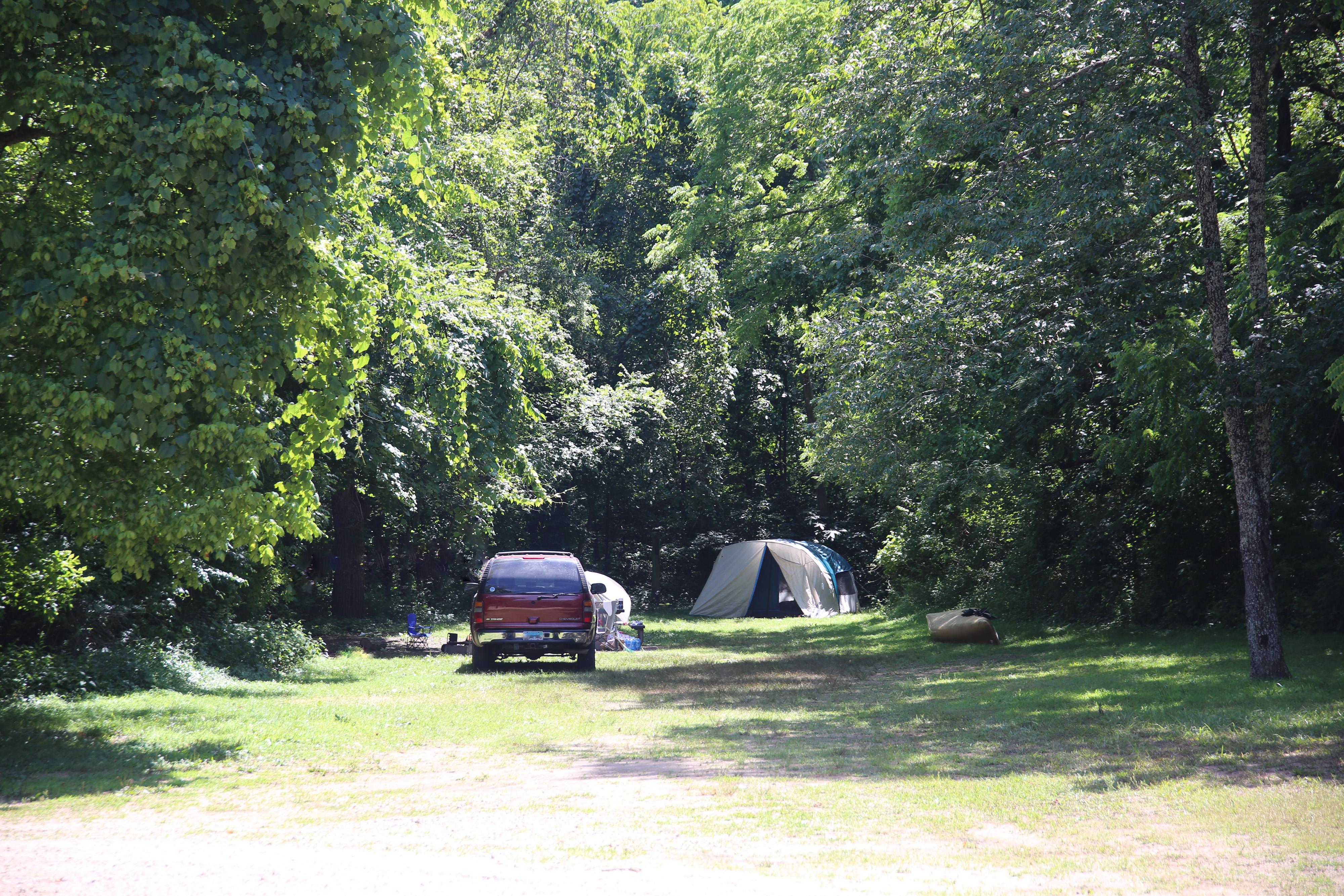
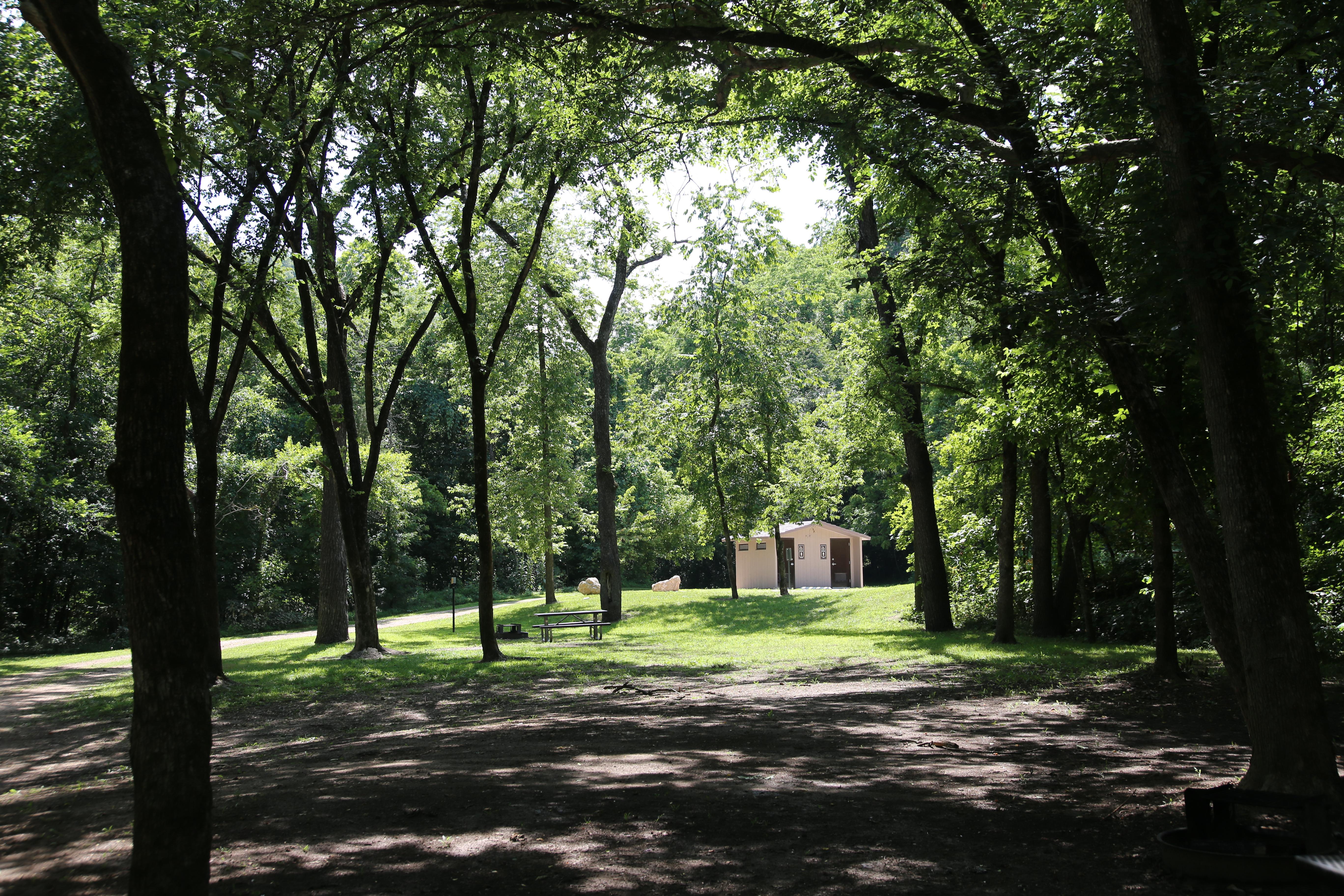
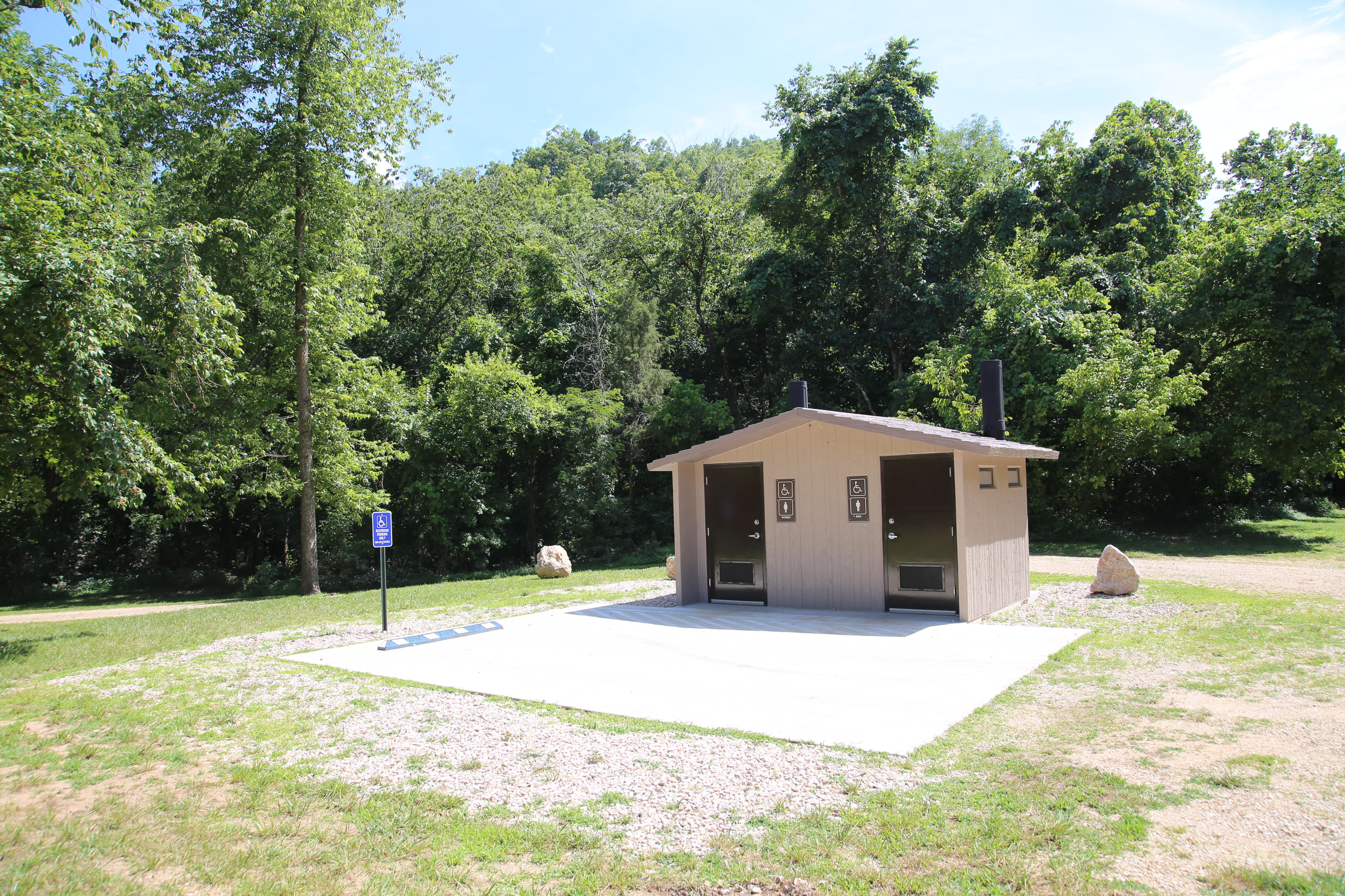
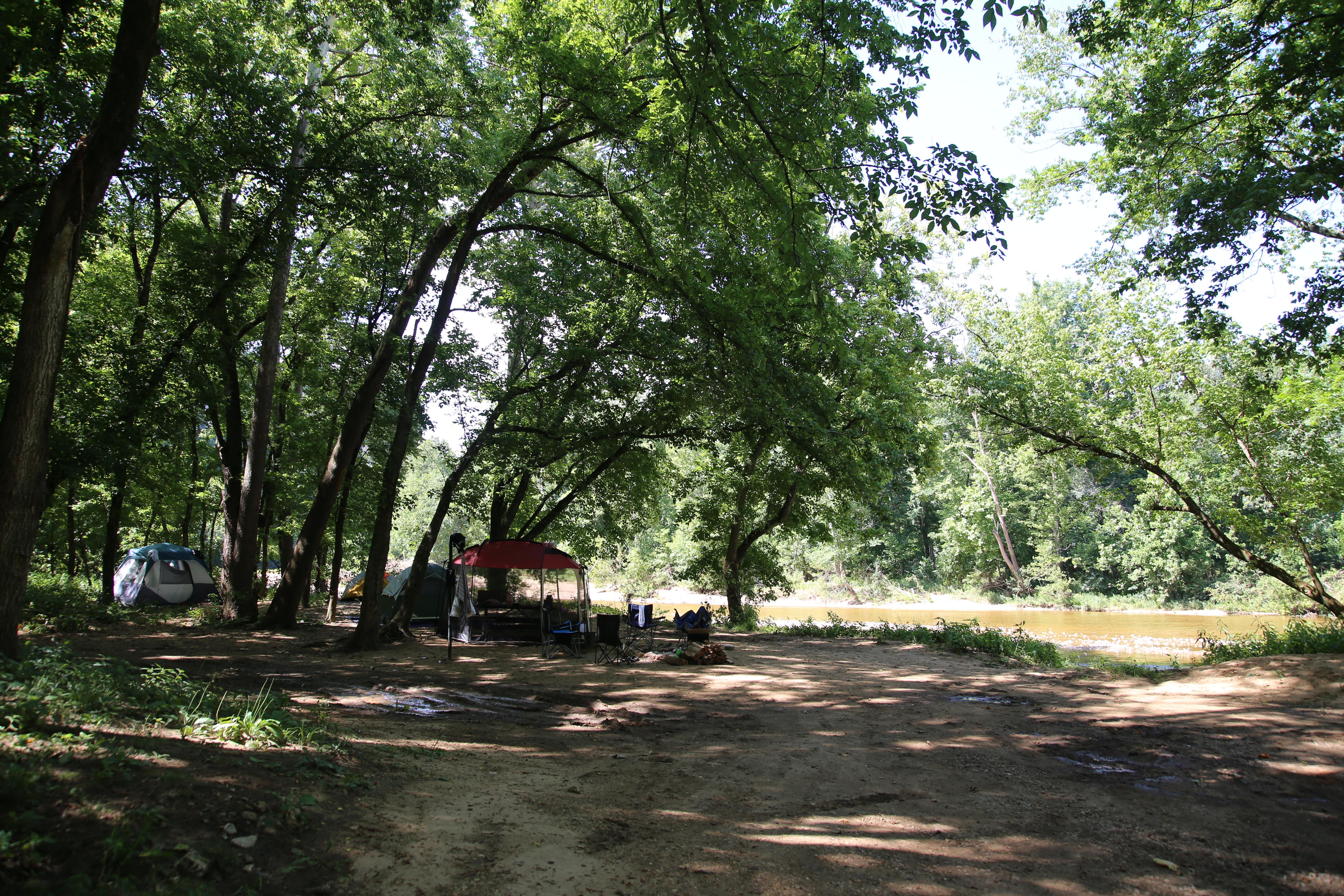
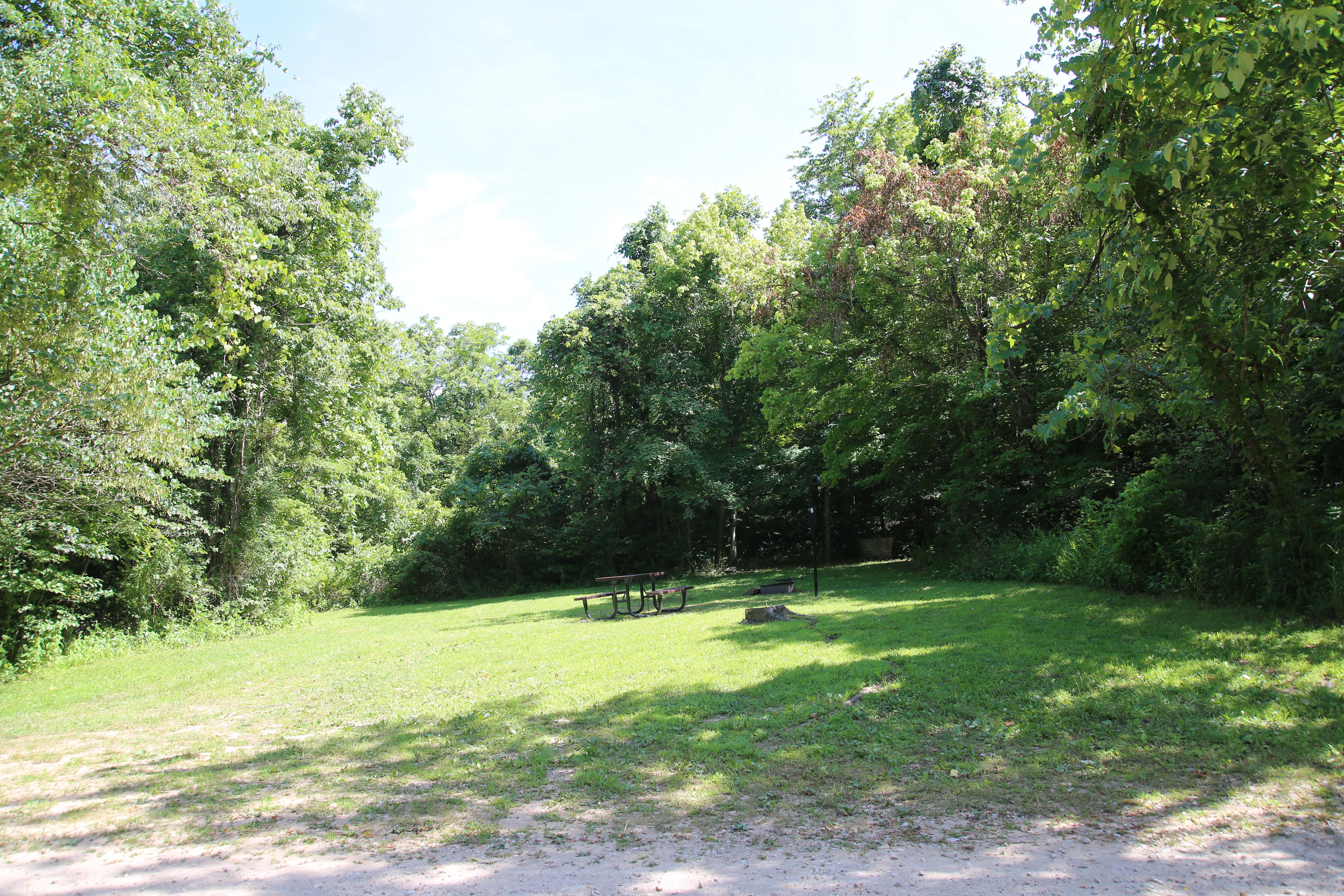
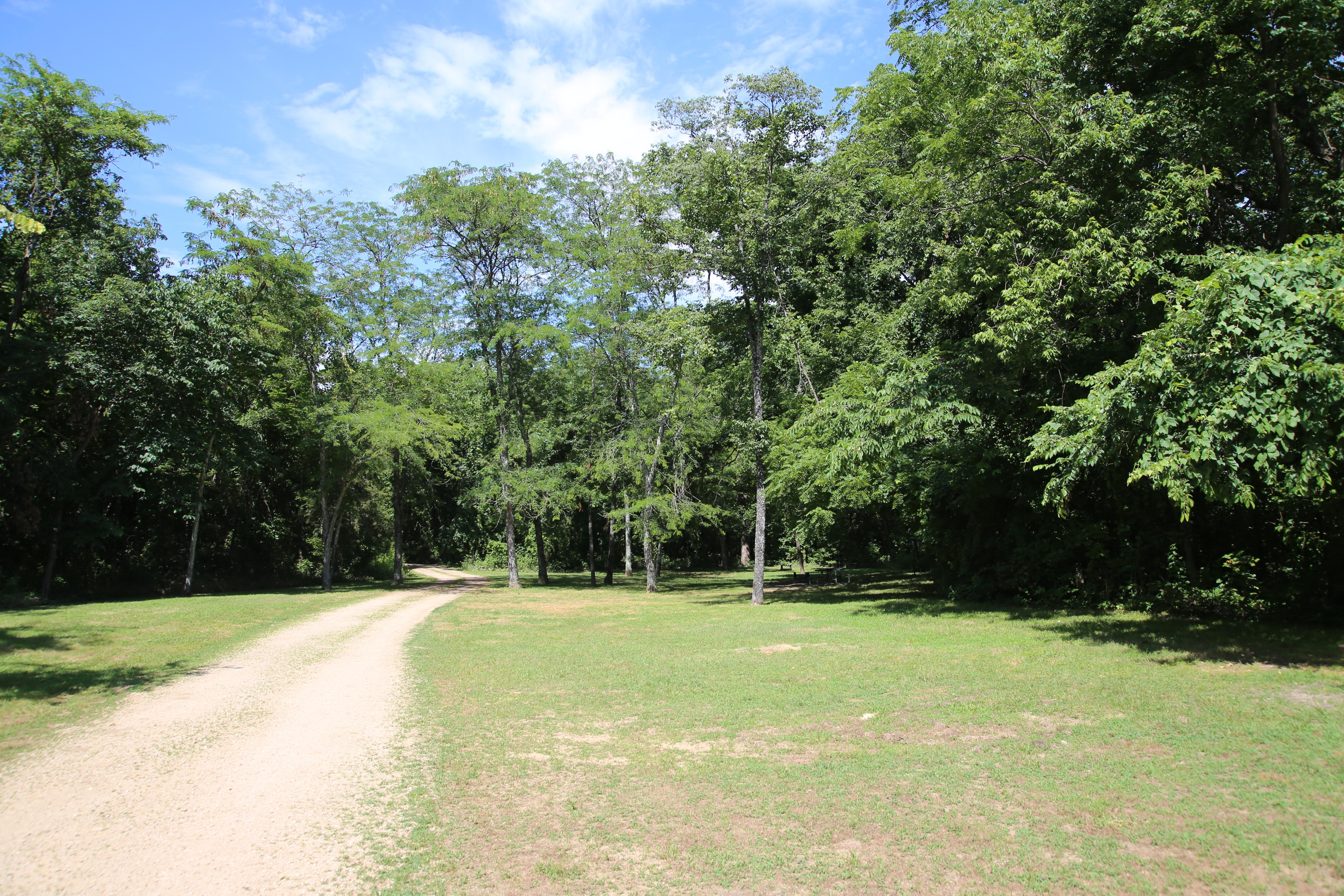
Stretched along the edge of the Jacks Fork River, this campground is the largest backcountry campground in the park. In contrast to nearby Alley Spring, this location offers mostly shaded sites. Each summer, campers are drawn back to Bay Creek by cool waters and lush canopy. In addition to the lovely landscape, the adjacent river is a fantastic place to see wildlife, from Bald Eagles to White-Tailed Deer. Campers, floaters, and hunters all make consistent use of Bay Creek.
From the managing agency.Official page
Is Bay Creek Campground free?
No. Bay Creek Campground charges $10.00. 11 of its sites are reservable through recreation.gov.
Can I bring an RV to Bay Creek Campground?
Bay Creek Campground has 11 sites on record. 11 sites are reservable and 0 are first come.
How do I get to Bay Creek Campground?
Starting in Eminence, drive west on Highway 106. After about 9.7 miles, turn left onto County Road 106-425. Stay straight on the main path as it heads into the woods. Follow the gravel road for just over 2 miles, until it runs into Bay Creek. This route requires driving on gravel roads for about 2 miles.
What is the weather like at Bay Creek Campground?
Ozark National Scenic Riverways is located in southeast Missouri. Summer temperatures generally range from 75-100 degrees with high humidity. Winter temperatures generally range from 0-50 degrees with periods of intermittent freezing and snow.
What are the rules at Bay Creek Campground?
Visit our Camping Regulations page for rules governing quiet hours, generators, fires, hammocks, and more.
Nearby
- ALLEY SPRING3.5 mi
- Alley Spring Campground3.5 mi
- Rymers Campground5.2 mi
- Bachers Campground8.1 mi
- Blue Spring Campground8.6 mi
- Shawnee Creek Campground11.8 mi
- Round Spring Campground12.1 mi
- Broadfoot Campground12.2 mi
No other services within 50 mi on the record.
SourceSource data is agency published. Last synced September 18, 2026. Community reports and photos are submitted by travelers and are not verified by the agency.
