
RIVER ROAD PARK
Campground · Fee not listed
Fast facts
- Cost
- Not listed. Check locally.
- Type
- Campground
- Phone
- 573-223-7777 (CLEARWATER LAKE PROJECT OFFICE) RIVER ROAD PARK GATE HOUSE(573-223-4424
- Coordinates
- 37.1336, -90.7669
- Last verified
- September 19, 2026

About this place
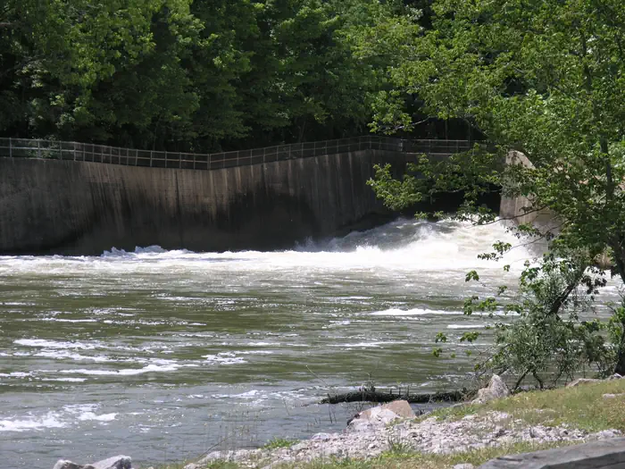
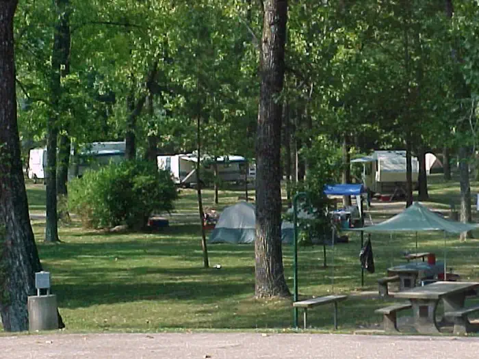
Overview Set on the banks of a calming river, just below the entertaining Clearwater Lake lies River Road Park, known as a jolly ol' place to camp. The beautiful area is enhanced each spring by flowering shrubs and trees like the redbud, hawthorn, dogwood and wild plum. And bald eagles stay year-round and are known to nest near the lake. Recreation Look for wildlife and pretty landscapes on the Black River Hike and Bike Trail. The trail starts at River Road Park and connects with the Blue Heron and Bottomland interpretive trails. Wildlife includes wetland waterfowl, fox, deer and geese. The lake and river below provide excellent fishing, swimming and canoeing. Facilities The majority of campsites have electric and water hookups. Additional amenities include a dump station, hot showers, picnic shelters, a boat ramp, and a playground. Three group picnic shelters are available for reservation, and these also come with electricity. Natural Features River Road Park near Clearwater Lake lies below the dam on the Black River. The lake's shoreline is studded with picturesque bluffs covered in sweet william flowers, indented bays, and serene coves. Nearby Attractions In the area, campers enjoy visiting traditional drive-in movie theaters, the Sam A. Baker State Park, local golf courses, and the historic Civil War site at Fort Benton.
From the managing agency.
Is RIVER ROAD PARK free?
We do not have a fee on record for RIVER ROAD PARK. Confirm the cost locally before you go.
How do I get to RIVER ROAD PARK?
RIVER ROAD PARK is at 37.1336, -90.7669. We do not hold written directions for this one, so navigate to the coordinates.
Nearby
- PIEDMONT PARK0.6 mi
- Webb Creek Park2.5 mi
- BLUFF VIEW(CLEARWATER LAKE)3.6 mi
- HIGHWAY K13.1 mi
- Markham Campground13.8 mi
- FUCHS HOUSE14.0 mi
- MARKHAM SPRINGS14.3 mi
- Pinewoods Lake Campground14.7 mi
No other services within 50 mi on the record.
SourceSource data is agency published. Last synced September 19, 2026. Community reports and photos are submitted by travelers and are not verified by the agency.
