
HIGHWAY K
Campground · Fee not listed
Fast facts
- Cost
- Not listed. Check locally.
- Type
- Campground
- Phone
- 573-223-7777 (CLEARWATER LAKE PROJECT OFFICE) 573-558-2202 (HIGHWAY K GATEHOUSE)
- Coordinates
- 37.3242, -90.7667
- Last verified
- September 19, 2026
About this place
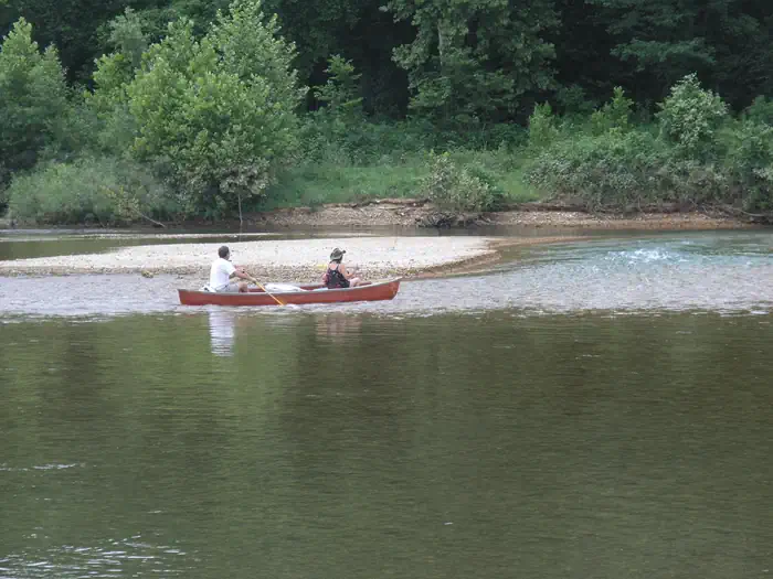
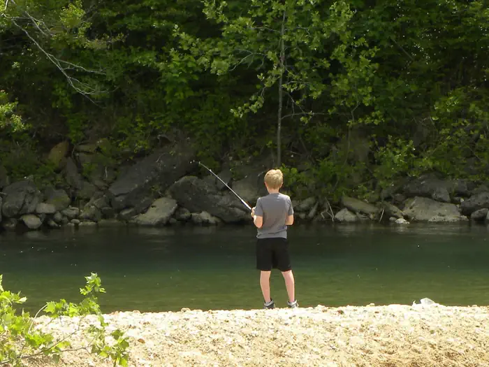
Overview Campers looking to enjoy a scenic stay on the clear waters of the Black River, will enjoy the calming riverside atmosphere at Highway K Park. Recreation Fishing and canoeing are very popular on the river, where campers also enjoy wading out into the clear waters during warmer months. Facilities The campground offers 83 sites, including many with electric hookups and some sites with water hookups. Additional amenities include a dump station, hot showers, a picnic shelter and playground. Natural Features Highway K is a few miles upstream of Clearwater Lake on the Black River. Campsites extended over both sides of the river bank, in a lush, wooded area of mixed hardwoods. Nearby Attractions The Elephant Rocks State Park, Johnson Shut-ins State Park, and the historic Civil War site at Fort Davidson State Park make for an interesting, scenic day trip.
From the managing agency.
Is HIGHWAY K free?
We do not have a fee on record for HIGHWAY K. Confirm the cost locally before you go.
How do I get to HIGHWAY K?
HIGHWAY K is at 37.3242, -90.7667. We do not hold written directions for this one, so navigate to the coordinates.
Nearby
- BLUFF VIEW(CLEARWATER LAKE)9.9 mi
- Webb Creek Park12.3 mi
- PIEDMONT PARK12.5 mi
- RIVER ROAD PARK13.1 mi
- Marble Creek Recreation Area15.2 mi
- Sutton Bluff Campground16.8 mi
- SUTTON BLUFF RECREATION AREA16.9 mi
- Cook Spring18.7 mi
No other services within 50 mi on the record.
SourceSource data is agency published. Last synced September 19, 2026. Community reports and photos are submitted by travelers and are not verified by the agency.
