
NEMO LANDING
Campground · Fee not listed
Fast facts
- Cost
- Not listed. Check locally.
- Type
- Campground
- Phone
- 417-993-5529
- Coordinates
- 37.8661, -93.2739
- Last verified
- September 19, 2026

About this place
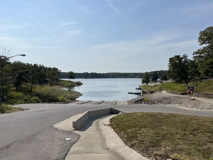
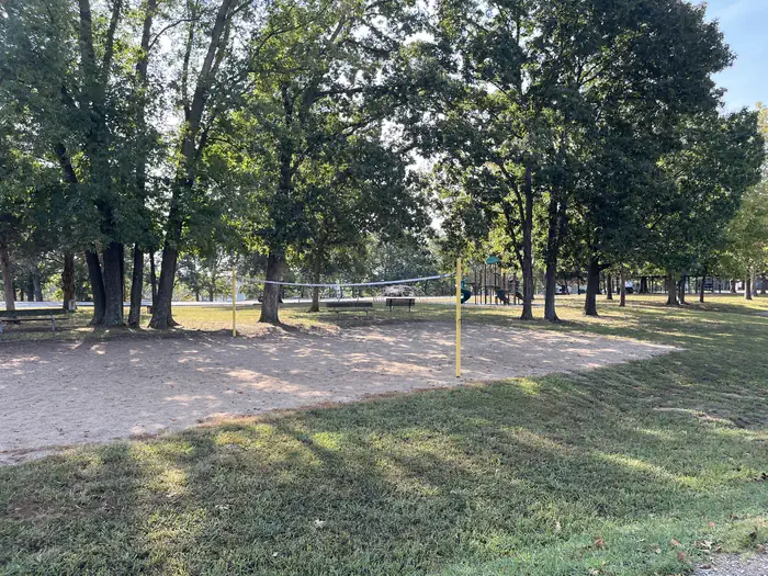
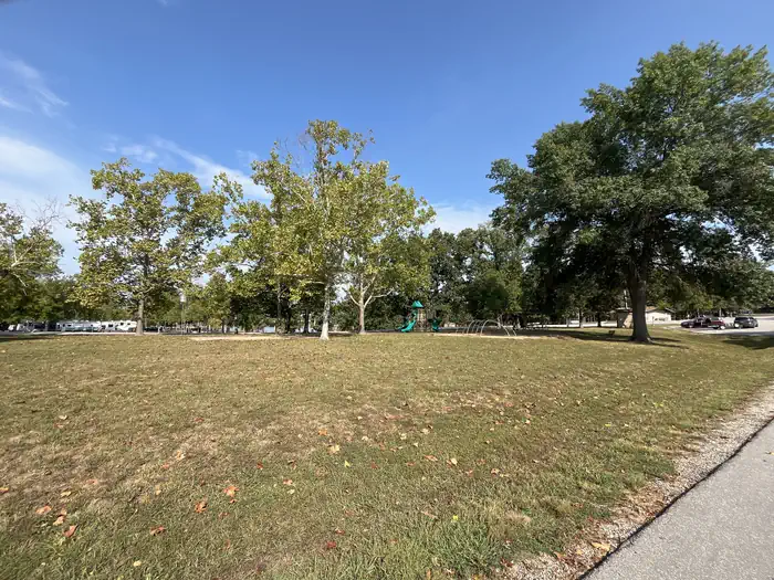
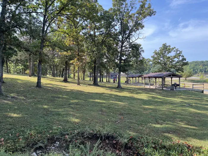
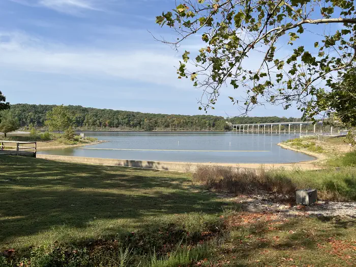
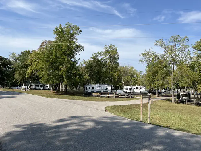
Overview Pomme de Terre lake is divided into two arms which extend from the damsite. Nemo landing is located on the shorter arm, which follows the long and winding Lindley Creek and features numerous coves. Although Pomme de Terre is small in comparison to other lakes in Missouri, its clear, deep waters have plenty to offer visitors. Recreation Visitors can find ideal fishing locations in one of the many tucked away coves, abundant with bass, walleye, crappie, catfish and muskie. Muskie is particularly popular as Pomme de Terre is the only lake in Missouri with a notable amount of the species. Jet skiing, water skiing and canoeing are also popular water sports. Across the Road from the campground is Nemo Marina, one of four full-service marinas on the lake, offering fuel, storage, tackle and rentals. Facilities Among the many campsites at Nemo Landing, 38 have electric and water hookups, 25 standard electric sites, 15 non-electric sites, and a group camp with 11 electric and water sites. Other campground amenities include hot showers, a swimming beach, boat ramp, and playground. Natural Features Pomme de Terre Lake is located in the rugged, tree-topped hills of the west-central Missouri Ozarks. The lake stems mostly from the Pomme de Terre River and boasts 113 miles of shoreline. Nearby Attractions The Pomme de Terre Multipurpose Trail, located in Bolivar Landing, is great for hikers, bikers and is the only trail that allows horses. Another option is the Indian Point Trail, located in the Pittsburg State Park, this trail ends on a rock platform overlooking the lake for a very scenic view.
From the managing agency.
Is NEMO LANDING free?
We do not have a fee on record for NEMO LANDING. Confirm the cost locally before you go.
How do I get to NEMO LANDING?
NEMO LANDING is at 37.8661, -93.2739. We do not hold written directions for this one, so navigate to the coordinates.
Nearby
- DAMSITE3.2 mi
- OUTLET PARK3.9 mi
- LIGHTFOOT LANDING5.5 mi
- WHEATLAND PARK5.5 mi
- OSAGE BLUFF23.3 mi
- BERRY BEND26.4 mi
- BLEDSOE FERRY28.1 mi
- SHAWNEE BEND28.3 mi
No other services within 50 mi on the record.
SourceSource data is agency published. Last synced September 19, 2026. Community reports and photos are submitted by travelers and are not verified by the agency.
