
DAMSITE
Campground · Fee not listed
Fast facts
- Cost
- Not listed. Check locally.
- Type
- Campground
- Phone
- 417-745-2244, OR CONTACT THE POMME DE TERRE PROJECT OFFICE AT 417-745-6411
- Coordinates
- 37.9047, -93.3078
- Last verified
- September 19, 2026
About this place
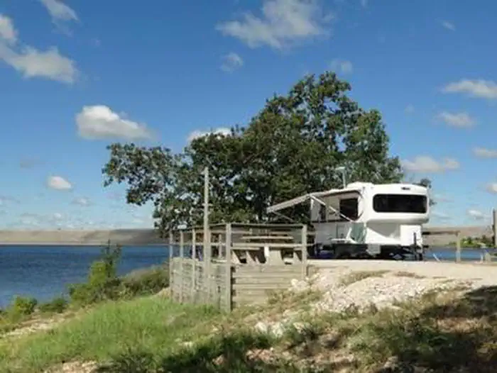
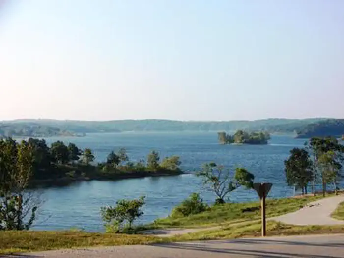
Overview Visitors head to Damsite on Pomme de Terre Lake for days of enjoyable boating, fishing and swimming. Just as the name implies, Damsite Park is just above the dam, at the confluence of Lindley Creek and the Pomme de Terre River. The lake is named for the river that feeds it. The phrase "Pomme de Terre" is French for potato or "apple of the earth." Most likely, the river was named by early French trappers and fur traders when they discovered plants resembling potatoes on the riverbanks. Recreation Excellent fishing is found at the lake, which boasts one of the best catch ratios in the country. Each fall the lake is stocked with muskie, but crappie, largemouth and white bass are also found in abundance. Every year on Fourth of July holiday weekend, a fireworks display takes place over the dam. Facilities Damsite Park has 80 sites with electric and water hookups and 7 non-electric sites. Amenities include a dump station, two shower houses, a horse shoe pits, and a playground. Natural Features Pomme de Terre Lake sits in the rolling Ozark hills, with 7,790-acres of sparkling surface area and 113 miles of shoreline. Nearby Attractions One of the best dirt tracks in the country is right down the road or enjoy a round of golf at the nearby golf course. There are also multiple trails located around this part of the lake.
From the managing agency.
Is DAMSITE free?
We do not have a fee on record for DAMSITE. Confirm the cost locally before you go.
How do I get to DAMSITE?
DAMSITE is at 37.9047, -93.3078. We do not hold written directions for this one, so navigate to the coordinates.
Nearby
- OUTLET PARK1.2 mi
- NEMO LANDING3.2 mi
- WHEATLAND PARK4.2 mi
- LIGHTFOOT LANDING6.2 mi
- OSAGE BLUFF20.3 mi
- BERRY BEND23.1 mi
- BLEDSOE FERRY25.1 mi
- SHAWNEE BEND25.2 mi
No other services within 50 mi on the record.
SourceSource data is agency published. Last synced September 19, 2026. Community reports and photos are submitted by travelers and are not verified by the agency.
