
BLEDSOE FERRY
Campground · Fee not listed
Fast facts
- Cost
- Not listed. Check locally.
- Type
- Campground
- Phone
- 660-438-7317
- Coordinates
- 38.2619, -93.3978
- Last verified
- September 19, 2026
About this place
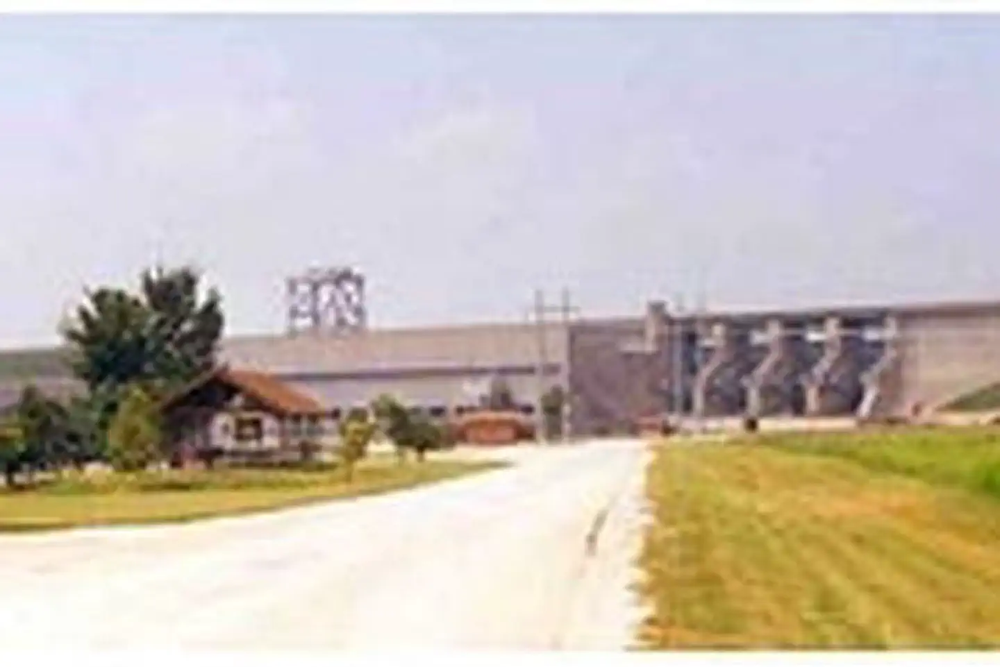
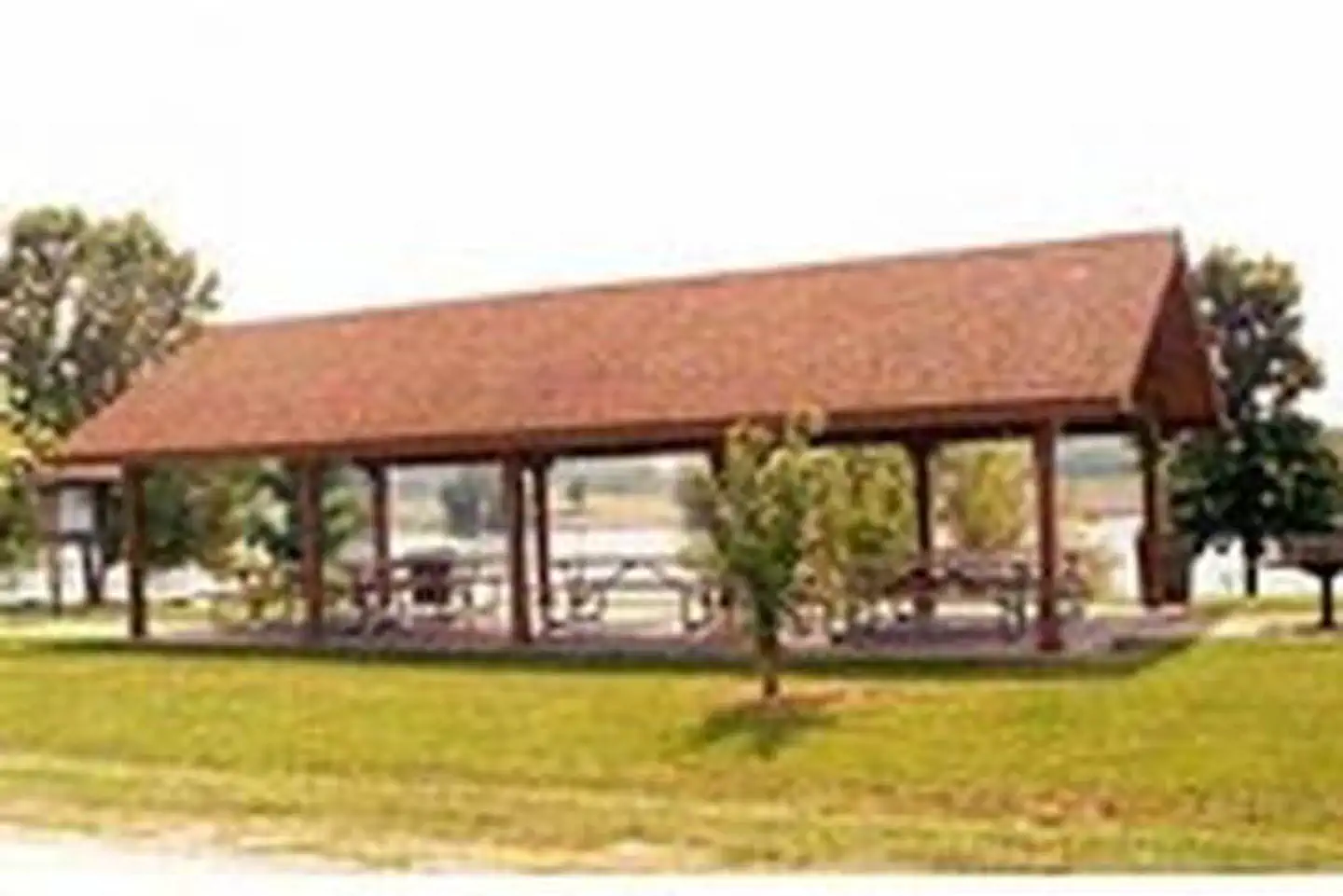
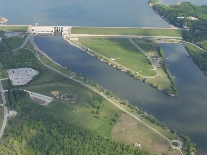
Overview Bledsoe Ferry Park sits below Harry S. Truman Dam in the hills of western Missouri. Visitors enjoy fishing, hunting, swimming and boating. Click here for the Harry S. Truman Lake virtual tour. Recreation Bledsoe Ferry is an excellent fishing location. Anglers find crappie, largemouth bass and blue and flathead catfish. Truman Lake is also a popular destination for tournament fishermen. The park also offers an excellent location to view the Harry S Truman Dam and one of the few Class A Visitor Centers. Facilities This year-round day-use area contains four large picnic shelters. Amenities include flush and pit toilets, drinking water, an accessible boat ramp and fishing docks. Natural Features Harry S Truman Reservoir lies among the rolling hills and rocky bluffs of the Ozark Plateau. Mature hardwoods of Oak and Hickory with cedar trees mixed in cover the area. Wildlife such as whitetail deer, turkey, hawks, ospreys, eagles, and many different water birds can be found in and around the park. An abundance of fish such as crappie, bass, walleye, paddlefish, blue and channel catfish can also be found in Harry S Truman Reservoir. Approximately 8,800 acres of standing timber were left in the lake to provide quality aquatic habitat. Nearby Attractions The 950 miles of shoreline around Truman Lake provide plentiful opportunities for fun in the outdoors. Many parks surround the lake, including Harry S. Truman State Park. The Harry S. Truman Visitor Center sits atop Kaysinger Bluff and provides a spectacular view of the dam and reservoir. Exhibits provide information about the rich history of the Osage River Valley from pre-civilization to modern day. Waterfowl, bald eagles and turkey vultures are commonly seen from the observation deck.
From the managing agency.
Is BLEDSOE FERRY free?
We do not have a fee on record for BLEDSOE FERRY. Confirm the cost locally before you go.
How do I get to BLEDSOE FERRY?
BLEDSOE FERRY is at 38.2619, -93.3978. We do not hold written directions for this one, so navigate to the coordinates.
Nearby
- SHAWNEE BEND1.3 mi
- THIBAUT POINT2.4 mi
- Long Shoal4.0 mi
- OSAGE BLUFF4.9 mi
- BERRY BEND7.5 mi
- BUCKSAW11.3 mi
- SPARROWFOOT18.0 mi
- OUTLET PARK25.1 mi
No other services within 50 mi on the record.
SourceSource data is agency published. Last synced September 19, 2026. Community reports and photos are submitted by travelers and are not verified by the agency.
