
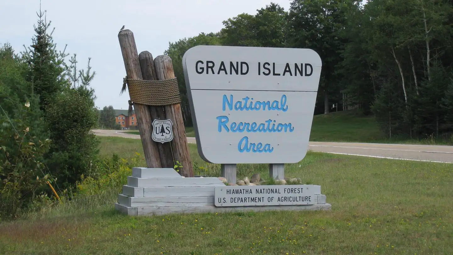
Grand Island National Recreation Area
Campground · Fee
Fast facts
- Cost
- Fee charged
- Type
- Campground
- Phone
- 906 387 2512
- Coordinates
- 46.4449, -86.6646
- Last verified
- September 19, 2026
About this place
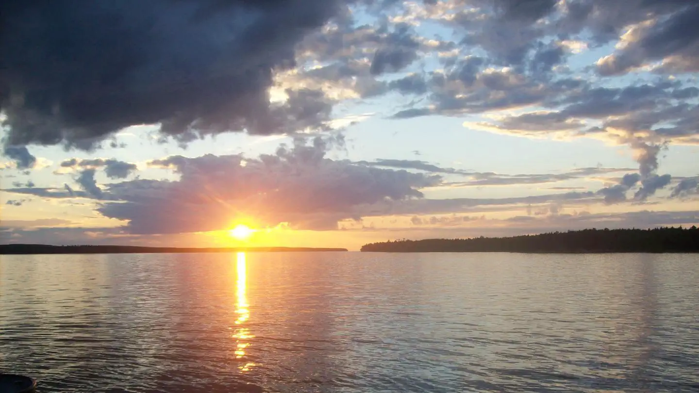
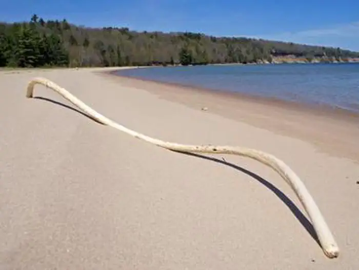
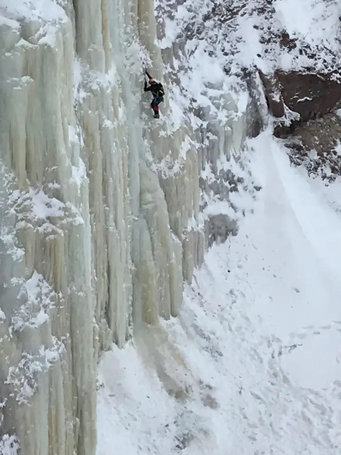
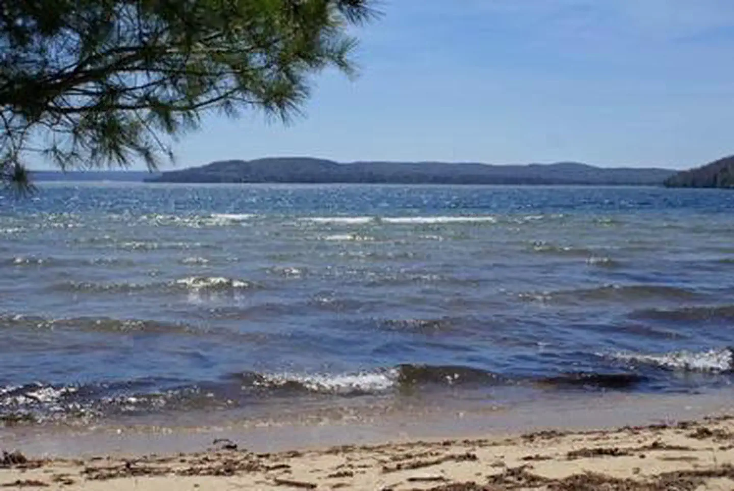
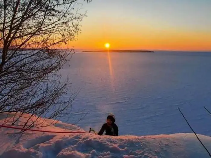
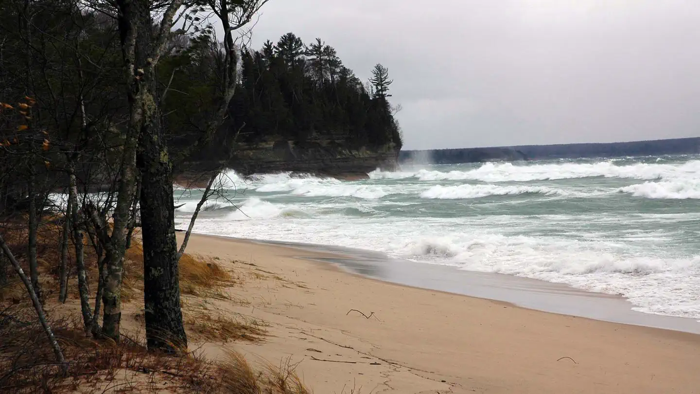
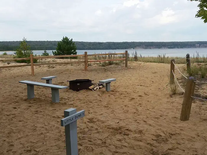
Overview Grand Island is located in Lake Superior, about one-half mile from the mainland community of Munising, Michigan. Munising is about 43 miles from Marquette and 55 miles from Manistique. Grand Island is the perfect place to spend a day or even just a few hours biking and exploring. The island's breathtaking overlooks, pristine sandy beaches, fascinating cultural sites, deep hard woods, and inland lakes make it an exciting and secluded destination. Recreation Group and indvidiual camping, biking, hiking, ice climbing, swimming, boating, hunting, fishing, and site seeing can all be enjoyed on Grand Island Facilities Campsites equipped with picnic tables, campfire rings, vault or wilderness toilets, bear lockers and/or poles. Some sites have drinking water provided Camping is not allowed at the day-use sites. Natural Features Grand Island National Recreation Area Campground part of the Hiawatha National Forest, near Michigan's Upper Peninsula. Calm waters, 300 foot sandstone cliffs, and white-sand beaches beckon boaters and swimmers to the area. Nearby Attractions Pictured Rocks National Lakeshore, Hiawatha National Forest, and the City of Munising. The Munising Area provides a variety of restaurants, hotels, camping opportunities and outfitters. Local outfitters provide guided and self-guided kayak, canoe, pontoon and mountain bike rentals. Charges & Cancellations see recreation.gov policy
From the managing agency.
Is this site free?
No. this site charges a fee.
How do I get to this site?
this site is at 46.4449, -86.6646. We do not hold written directions for this one, so navigate to the coordinates.
Nearby
- Channel Marker Campsite On Grand Island1.0 mi
- Muskrat Point Campsite On Grand Island1.5 mi
- Murray Bay Group Campsite On Grand Islan1.9 mi
- Loon Call Campsite On Grand Island1.9 mi
- Bermuda Campsite On Grand Island1.9 mi
- BAY FURNACE CAMPGROUND2.1 mi
- Duck Lake Campsite On Grand Island2.5 mi
- Little Dune 1 Campsite On Grand Island2.8 mi
No other services within 50 mi on the record.
SourceSource data is agency published. Last synced September 19, 2026. Community reports and photos are submitted by travelers and are not verified by the agency.
