
BAY FURNACE CAMPGROUND
USFS · Campground · Fee
Fast facts
- Cost
- Fee charged
- Managed by
- USFS
- Type
- Campground
- Coordinates
- 46.4383, -86.7083
- Last verified
- September 19, 2026


About this place
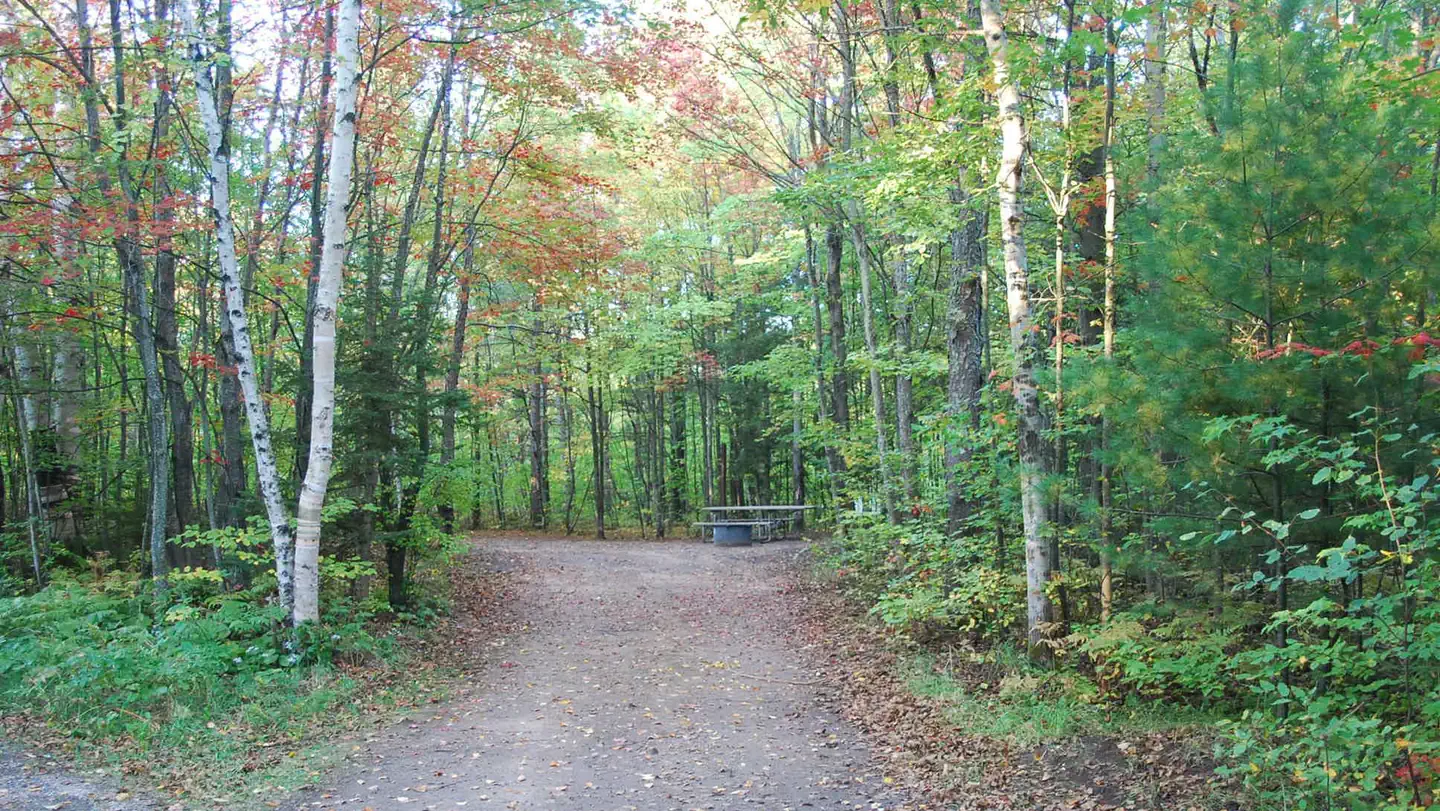
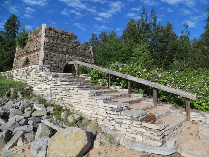
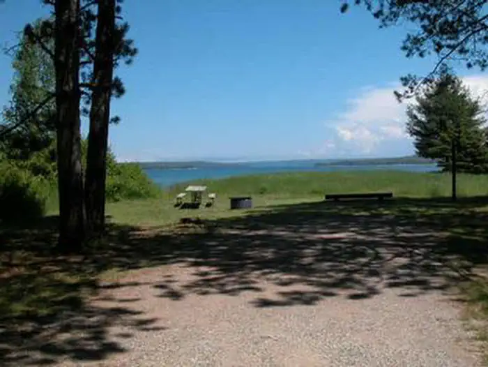
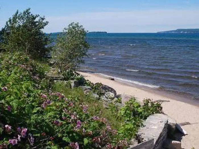
Overview Bay Furnace Campground is located on the south shores of Lake Superior, near Pictured Rocks National Lakeshore. Favorite to many, the campground is centered to various waterfalls, as well as other sightseeing attractions, including boat tours and visits to Grand Island. Recreation Fishing in Lake Superior is best by boat. There is no access to the lake at Bay Furnace, but there is a boat ramp approximately 10 miles west, at AuTrain, and in Munising. Anglers can enjoy a variety of lake trout and salmon fishing. Visitors can access the popular Grand Island via a 10-minute ferry ride or by private boat. This scenic island is a favorite for hiking, mountain biking and exploring. Various boat excursions are offered near the campground at an additional cost, providing a great way to explore the crystal clear blue-green waters of Lake Superior and view the stunning natural rock formations. Facilities The campground offers multiple reservable single sites for tent and RV camping. Additional campsites are available on a first-come, first-served basis. Each site is equipped with tables and campfire rings with grills. Accessible vault toilets and drinking water are provided. A day-use picnic area is also available at the campground, located near the lake shore. Multiple tables, drinking water and accessible vault toilets are included. Natural Features Visitors can enjoy the scenic views of Lake Superior, with its spectacular sunrises, sunsets and occasional northern lights displays. Amid forests of deciduous trees, some sites overlook the lake while others are near Furnace Creek. Nearby Attractions Boat ramps are available in Munising, less than 5 miles from the campground, or at AuTrain, which is about 10 miles away. Contact Info For facility specific information, please call (906) 767-1111.
From the USFS.
Is BAY FURNACE CAMPGROUND free?
No. BAY FURNACE CAMPGROUND charges a fee. It is managed by the USFS.
How do I get to BAY FURNACE CAMPGROUND?
BAY FURNACE CAMPGROUND is at 46.4383, -86.7083. We do not hold written directions for this one, so navigate to the coordinates.
Nearby
- Channel Marker Campsite On Grand Island1.7 mi
- Grand Island National Recreation Area2.1 mi
- Muskrat Point Campsite On Grand Island3.4 mi
- Murray Bay Group Campsite On Grand Islan3.5 mi
- Loon Call Campsite On Grand Island3.5 mi
- Bermuda Campsite On Grand Island3.5 mi
- Juniper Flats Campsite On Grand Island3.5 mi
- GRAND ISLAND CABINS3.5 mi
No other services within 50 mi on the record.
SourceData from the USFS. Last synced September 19, 2026. Community reports and photos are submitted by travelers and are not verified by the agency.
