
BUMPUS MILLS
Campground · Fee not listed
Fast facts
- Cost
- Not listed. Check locally.
- Type
- Campground
- Phone
- RESOURCE MANAGERS OFFICE: (270) 362-4236, BUMPUS MILLS CAMPGROUND: (931) 232-8831
- Coordinates
- 36.6188, -87.8794
- Last verified
- September 19, 2026
About this place
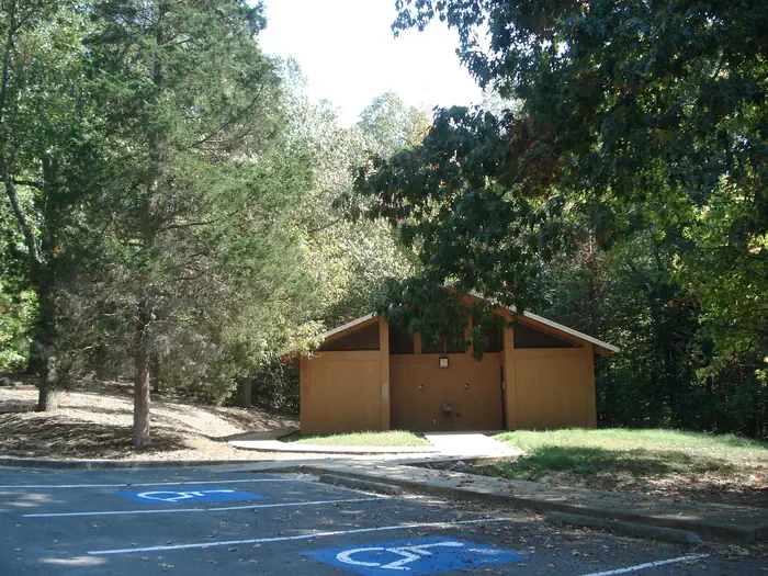
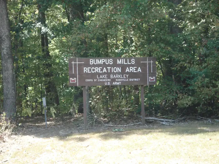
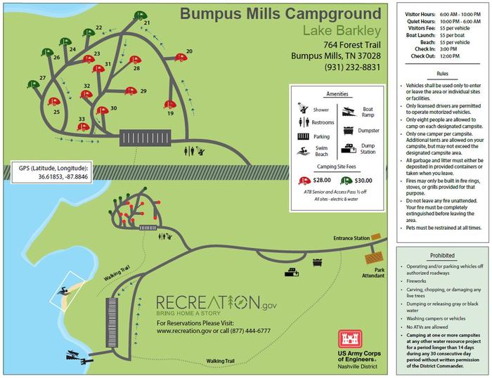
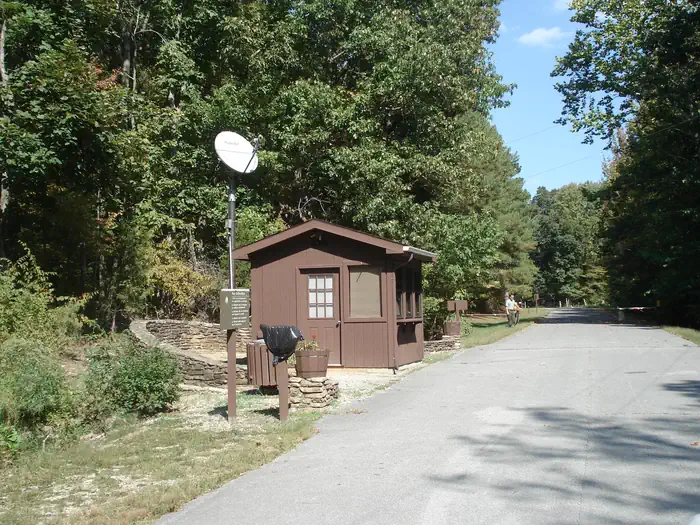
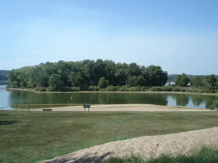
Overview From fishing to boating and hiking, campers and day visitors at Bumpus Mills enjoy hours of fun on the upstream section of Lake Barkley. Many bird species reside here, including golden and bald eagles. Don't forget to pack binoculars and a camera to take advantage of the excellent opportunities for birding and wildlife photography. Recreation The recreation area is ideal for hiking, fishing, swimming, picnicking and boating. Abundant wildlife includes wild turkey and deer. Facilities The small campground offers 15 sites with water and electric hookups. Other amenities include hot showers, a dump station, boat ramp and public marina. Natural Features Bumpus Mills is located on scenic Lake Barkley among wooded rolling hills. Lake Barkley is the westernmost lake on the Cumberland River, which flows westward to the Ohio River. Barkley lies parallel to Kentucky Lake, a reservoir that stems from the Tennessee River. Between both lakes is the Land Between the Lakes National Recreation Area. Nearby Attractions Due east is Fort Donelson National Battlefield, which marks the site of the first Union victory of the Civil War. The Bear Creek Waterfowl Management Unit is a short drive south of Bumpus Mills.
From the managing agency.
Is BUMPUS MILLS free?
We do not have a fee on record for BUMPUS MILLS. Confirm the cost locally before you go.
How do I get to BUMPUS MILLS?
BUMPUS MILLS is at 36.6188, -87.8794. We do not hold written directions for this one, so navigate to the coordinates.
Nearby
- Neville Bay2.0 mi
- Gatlin Point Campground4.5 mi
- Brandon Spring Group Campground4.6 mi
- LINTON5.0 mi
- DYERS CREEK8.5 mi
- DOVER9.1 mi
- Jones Creek Campground10.5 mi
- Wranglers Campground10.6 mi
No other services within 50 mi on the record.
SourceSource data is agency published. Last synced September 19, 2026. Community reports and photos are submitted by travelers and are not verified by the agency.
