
DYERS CREEK
Campground · Fee not listed
Fast facts
- Cost
- Not listed. Check locally.
- Type
- Campground
- Phone
- 931-232-7724 DOVER OFFICE; 270-362-4236 LAKE BARKLEY RESOURCE MANAGERS OFFICE
- Coordinates
- 36.5014, -87.8333
- Last verified
- September 19, 2026
About this place
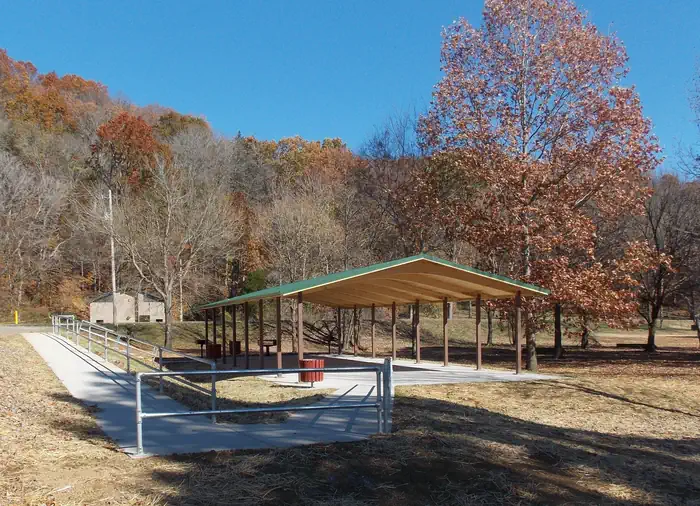
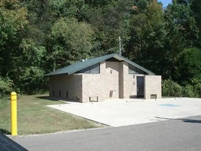
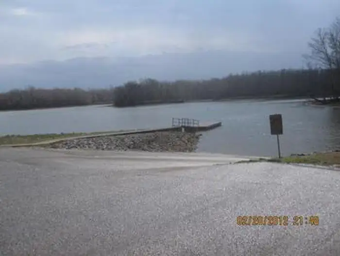
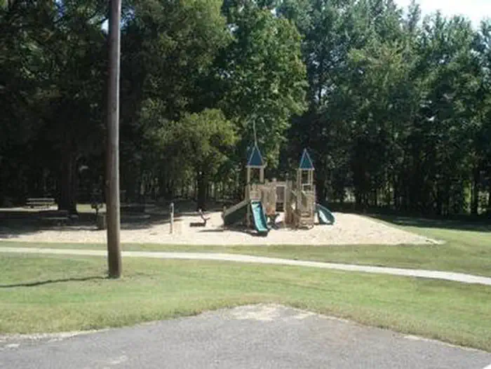
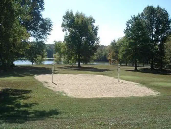
Overview Dyer's Creek boasts fantastic views of on the sparkling Lake Barkley in the wooded rolling hills of Tennessee. Whether it's a family picnic and a BBQ with friends, the recreation area provides the perfect setting for a relaxing get-together. Recreation Visitors here enjoy boating, fishing, wildlife watching and swimming. Bring the binoculars and search for wildlife like the white-tailed deer, raccoons and bald eagles. Fishing is popular, and during warm months bass and catfish are abundant. Facilities The park provides a playground, volleyball court, flush toilets and a boat ramp. The shelter accommodates up to 100 people and 50 vehicles. Ample paved parking is also available. Natural Features Lake Barkley, the westernmost lake on the Cumberland River is connected by canal to Kentucky Lake, forming one of the greatest freshwater recreation complexes in the country. Between both lakes sits the Land Between the Lakes National Recreation Area, the largest inland peninsula in the United States. Here visitors have access to boat ramps, many miles of hiking trails, wildlife viewing and off highway vehicle riding. Nearby Attractions Visit the Lake Barkley State Resort Park for miles of hiking trails and horseback riding stables.
From the managing agency.
Is DYERS CREEK free?
We do not have a fee on record for DYERS CREEK. Confirm the cost locally before you go.
How do I get to DYERS CREEK?
DYERS CREEK is at 36.5014, -87.8333. We do not hold written directions for this one, so navigate to the coordinates.
Nearby
- DOVER0.9 mi
- Gatlin Point Campground5.5 mi
- Brandon Spring Group Campground6.1 mi
- BUMPUS MILLS8.5 mi
- Neville Bay9.0 mi
- Boswell Landing Campground10.7 mi
- Piney Campground11.3 mi
- LINTON13.5 mi
No other services within 50 mi on the record.
SourceSource data is agency published. Last synced September 19, 2026. Community reports and photos are submitted by travelers and are not verified by the agency.
